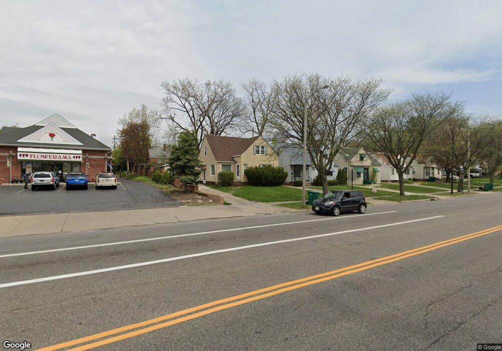
20503 Libby Rd Maple Heights, OH 44137
Estimated Value: $88,000 - $126,000
3
Beds
1
Bath
1,317
Sq Ft
$80/Sq Ft
Est. Value
About This Home
This home is located at 20503 Libby Rd, Maple Heights, OH 44137 and is currently estimated at $105,674, approximately $80 per square foot. 20503 Libby Rd is a home located in Cuyahoga County with nearby schools including Abraham Lincoln Elementary School, Rockside/ J.F. Kennedy School, and Barack Obama School.
Ownership History
Date
Name
Owned For
Owner Type
Purchase Details
Closed on
Jan 30, 2025
Sold by
Jackson Veronica
Bought by
Orange Weller Holdings Llc
Current Estimated Value
Home Financials for this Owner
Home Financials are based on the most recent Mortgage that was taken out on this home.
Original Mortgage
$91,053
Outstanding Balance
$38,602
Interest Rate
6%
Mortgage Type
Construction
Estimated Equity
$67,072
Purchase Details
Closed on
Feb 21, 1989
Sold by
Rollo Edward J and Rollo Roslyn
Bought by
Thomas William G
Purchase Details
Closed on
Aug 13, 1984
Sold by
Rollo Ed J and Rollo R
Bought by
Rollo Edward J and Rollo Roslyn
Purchase Details
Closed on
Jan 1, 1975
Bought by
Rollo Ed J and Rollo R
Create a Home Valuation Report for This Property
The Home Valuation Report is an in-depth analysis detailing your home's value as well as a comparison with similar homes in the area
Home Values in the Area
Average Home Value in this Area
Purchase History
| Date | Buyer | Sale Price | Title Company |
|---|---|---|---|
| Orange Weller Holdings Llc | $80,000 | None Listed On Document | |
| Thomas William G | $50,000 | -- | |
| Rollo Edward J | -- | -- | |
| Rollo Ed J | -- | -- |
Source: Public Records
Mortgage History
| Date | Status | Borrower | Loan Amount |
|---|---|---|---|
| Open | Orange Weller Holdings Llc | $91,053 |
Source: Public Records
Tax History
| Year | Tax Paid | Tax Assessment Tax Assessment Total Assessment is a certain percentage of the fair market value that is determined by local assessors to be the total taxable value of land and additions on the property. | Land | Improvement |
|---|---|---|---|---|
| 2024 | $3,559 | $38,745 | $5,110 | $33,635 |
| 2023 | $2,535 | $23,250 | $3,470 | $19,780 |
| 2022 | $2,526 | $23,240 | $3,465 | $19,775 |
| 2021 | $2,695 | $23,240 | $3,470 | $19,780 |
| 2020 | $2,301 | $17,610 | $2,630 | $14,980 |
| 2019 | $2,175 | $50,300 | $7,500 | $42,800 |
| 2018 | $2,205 | $17,610 | $2,630 | $14,980 |
| 2017 | $2,301 | $17,430 | $2,450 | $14,980 |
| 2016 | $2,225 | $17,430 | $2,450 | $14,980 |
| 2015 | $2,059 | $17,430 | $2,450 | $14,980 |
| 2014 | $2,059 | $17,440 | $2,700 | $14,740 |
Source: Public Records
Map
Nearby Homes
- 20111 Mountville Dr
- 19910 Mountville Dr
- 20814 Clare Ave
- 5147 Warrensville Center Rd
- 20905 Clare Ave
- 21202 Gardenview Dr
- 19289 Stafford Ave
- 21202 Hillgrove Ave
- 19520 Maple Heights Blvd
- 20600 Watson Rd
- 19931 Raymond St
- 20715 Watson Rd
- 21207 Franklin Rd
- 21601 Gardenview Dr
- 20705 Hansen Rd
- 5165 Camden Rd
- 20648 Donny Brook Rd
- 5194 Homewood Ave
- 18909 Maple Heights Blvd
- 21860 Louis Rd
- 20507 Libby Rd
- 20511 Libby Rd
- 20502 Mountville Dr
- 20515 Libby Rd
- 20506 Mountville Dr
- 20519 Libby Rd
- 5257 Warrensville Center Rd
- 20514 Mountville Dr
- 20600 Mountville Dr
- 20603 Libby Rd
- 20604 Mountville Dr
- 20607 Libby Rd
- 5255 Warrensville Center Rd
- 20608 Mountville Dr
- 20611 Libby Rd
- 20503 Mountville Dr
- 5249 Warrensville Rd
- 20505 Mountville Dr
- 20513 Mountville Dr
- 20612 Mountville Dr
Your Personal Tour Guide
Ask me questions while you tour the home.