20507 W Ray Rd Buckeye, AZ 85326
Estimated Value: $414,000 - $663,000
--
Bed
2
Baths
1,624
Sq Ft
$321/Sq Ft
Est. Value
About This Home
This home is located at 20507 W Ray Rd, Buckeye, AZ 85326 and is currently estimated at $520,938, approximately $320 per square foot. 20507 W Ray Rd is a home located in Maricopa County with nearby schools including Rainbow Valley Elementary School and Estrella Foothills High School.
Ownership History
Date
Name
Owned For
Owner Type
Purchase Details
Closed on
Aug 22, 2024
Sold by
Benner Amy L
Bought by
Benner Amy L and Cole Gordon Bruce
Current Estimated Value
Purchase Details
Closed on
Jun 14, 1999
Sold by
Henry Rev Avel G
Bought by
Urban Susan O
Home Financials for this Owner
Home Financials are based on the most recent Mortgage that was taken out on this home.
Original Mortgage
$119,000
Interest Rate
7.24%
Mortgage Type
New Conventional
Create a Home Valuation Report for This Property
The Home Valuation Report is an in-depth analysis detailing your home's value as well as a comparison with similar homes in the area
Home Values in the Area
Average Home Value in this Area
Purchase History
| Date | Buyer | Sale Price | Title Company |
|---|---|---|---|
| Benner Amy L | -- | None Listed On Document | |
| Urban Susan O | $159,900 | Capital Title Agency |
Source: Public Records
Mortgage History
| Date | Status | Borrower | Loan Amount |
|---|---|---|---|
| Previous Owner | Urban Susan O | $108,850 | |
| Previous Owner | Urban Susan O | $119,000 |
Source: Public Records
Tax History Compared to Growth
Tax History
| Year | Tax Paid | Tax Assessment Tax Assessment Total Assessment is a certain percentage of the fair market value that is determined by local assessors to be the total taxable value of land and additions on the property. | Land | Improvement |
|---|---|---|---|---|
| 2025 | $1,456 | $12,003 | -- | -- |
| 2024 | $1,372 | $11,431 | -- | -- |
| 2023 | $1,372 | $30,550 | $6,110 | $24,440 |
| 2022 | $1,260 | $23,370 | $4,670 | $18,700 |
| 2021 | $1,299 | $19,530 | $3,900 | $15,630 |
| 2020 | $1,242 | $16,960 | $3,390 | $13,570 |
| 2019 | $1,207 | $15,400 | $3,080 | $12,320 |
| 2018 | $1,047 | $13,960 | $2,790 | $11,170 |
| 2017 | $1,019 | $12,410 | $2,480 | $9,930 |
| 2016 | $975 | $10,680 | $2,130 | $8,550 |
| 2015 | $967 | $10,510 | $2,100 | $8,410 |
Source: Public Records
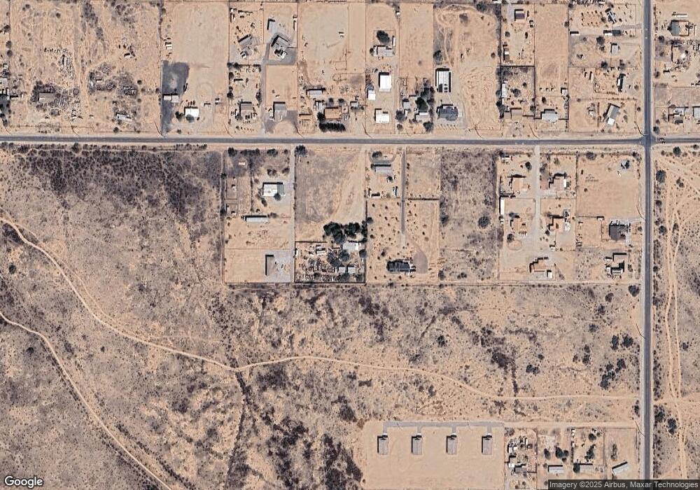
Map
Nearby Homes
- 20435 W Mountain Sage Dr
- 20427 W Mountain Sage Dr
- 20419 W Mountain Sage Dr
- 20411 W Mountain Sage Dr
- 20165 W Moccasin Trail
- 0 W Spur Rd Unit 8 6851401
- 0 W Spur Rd Unit 1 6851417
- 13322 S 207th Ave
- 13408 S 210th Ln
- 13118 S 210th Dr
- 13430 S Garnet Rd
- 13344 S Garnet Rd
- 21007 W Shasta St
- 20514 W Narramore Rd
- 12714 S Airport Rd Unit H
- 0 S 207th Ave Unit 6680743
- 19348 W Brave Rd
- 12714 S Airport G Rd Unit G
- 12115 S 208th Ave
- 13520 S 194th Ave
- 141XX S 204th ( Lot T ) Ln Unit T
- 14114 S 204th Ln
- 20435 W Ray Rd Unit 60R
- 20435 W Ray Rd Unit 60S
- 20435 W Ray Rd Unit 60T
- 20435 W Ray Rd Unit 60U
- 20435 W Ray Rd Unit 60R
- 20435 W Ray Rd
- 14158 S 205th Ln
- 141XX S 204th ( Lot S ) Ln Unit S
- 20533 W Ray Rd
- 20414 W Ray Rd
- 13923 S 205th Ln
- 20416 W Ray Rd
- 14106 S 203rd Ln
- 13922 S 205th Ln
- 14018 S 203rd Ln
- 14111 S 203rd Ln
- 8716 S 203rd Ln
- 8700 S 203rd Ln Unit 1 & 2