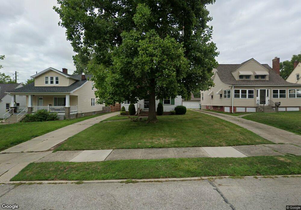
20509 Franklin Rd Maple Heights, OH 44137
Estimated Value: $101,000 - $119,689
3
Beds
1
Bath
1,138
Sq Ft
$97/Sq Ft
Est. Value
About This Home
This home is located at 20509 Franklin Rd, Maple Heights, OH 44137 and is currently estimated at $110,172, approximately $96 per square foot. 20509 Franklin Rd is a home located in Cuyahoga County with nearby schools including Abraham Lincoln Elementary School, Rockside/ J.F. Kennedy School, and Barack Obama School.
Ownership History
Date
Name
Owned For
Owner Type
Purchase Details
Closed on
Jun 19, 1992
Sold by
Hunter David L
Bought by
Sullins Darrell
Current Estimated Value
Purchase Details
Closed on
Feb 7, 1985
Sold by
Hattie Vlcek
Bought by
Hunter David L
Purchase Details
Closed on
Sep 10, 1979
Sold by
Vlcek James and Vlcek Hattie
Bought by
James and Hattie Vlcek
Purchase Details
Closed on
Jan 1, 1975
Bought by
Vlcek James and Vlcek Hattie
Create a Home Valuation Report for This Property
The Home Valuation Report is an in-depth analysis detailing your home's value as well as a comparison with similar homes in the area
Home Values in the Area
Average Home Value in this Area
Purchase History
| Date | Buyer | Sale Price | Title Company |
|---|---|---|---|
| Sullins Darrell | $60,900 | -- | |
| Hunter David L | $53,000 | -- | |
| James | -- | -- | |
| Vlcek James | -- | -- |
Source: Public Records
Tax History
| Year | Tax Paid | Tax Assessment Tax Assessment Total Assessment is a certain percentage of the fair market value that is determined by local assessors to be the total taxable value of land and additions on the property. | Land | Improvement |
|---|---|---|---|---|
| 2024 | $3,055 | $33,180 | $7,875 | $25,305 |
| 2023 | $2,251 | $20,510 | $4,760 | $15,750 |
| 2022 | $2,243 | $20,510 | $4,760 | $15,750 |
| 2021 | $2,387 | $20,510 | $4,760 | $15,750 |
| 2020 | $2,050 | $15,540 | $3,610 | $11,940 |
| 2019 | $2,036 | $44,400 | $10,300 | $34,100 |
| 2018 | $1,904 | $15,540 | $3,610 | $11,940 |
| 2017 | $1,929 | $14,320 | $3,360 | $10,960 |
| 2016 | $1,864 | $14,320 | $3,360 | $10,960 |
| 2015 | $1,856 | $14,320 | $3,360 | $10,960 |
| 2014 | $1,856 | $15,720 | $3,680 | $12,040 |
Source: Public Records
Map
Nearby Homes
- 20517 Raymond St
- 5147 Warrensville Center Rd
- 20600 Watson Rd
- 20715 Watson Rd
- 20806 Clare Ave
- 20705 Hansen Rd
- 20905 Clare Ave
- 19931 Raymond St
- 21202 Hillgrove Ave
- 21207 Franklin Rd
- 21202 Gardenview Dr
- 19520 Maple Heights Blvd
- 21600 Franklin Rd
- 5165 Camden Rd
- 19289 Stafford Ave
- 21607 Libby Rd
- 21860 Louis Rd
- 5194 Homewood Ave
- 18990 Raymond St
- 18851 Raymond St
- 20505 Franklin Rd
- 20517 Franklin Rd
- 20501 Franklin Rd
- 20605 Franklin Rd
- 20510 Raymond St
- 20504 Raymond St
- 20514 Raymond St
- 20607 Franklin Rd
- 20500 Raymond St
- 20600 Raymond St
- 20508 Franklin Rd
- 20512 Franklin Rd
- 20502 Franklin Rd
- 20516 Franklin Rd
- 20609 Franklin Rd
- 20604 Raymond St
- 20500 Franklin Rd
- 20600 Franklin Rd
- 20604 Franklin Rd
- 5131 Warrensville Center Rd
Your Personal Tour Guide
Ask me questions while you tour the home.