Estimated Value: $1,308,869
--
Bed
--
Bath
106,456
Sq Ft
$12/Sq Ft
Est. Value
About This Home
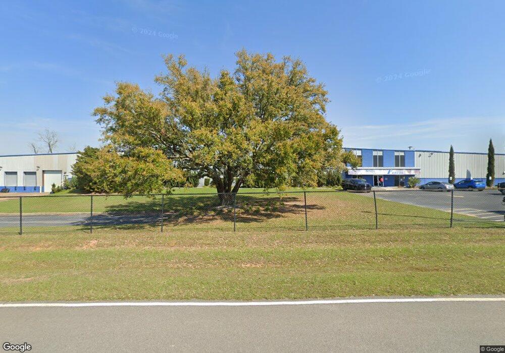
This home is located at 2051 2nd Ave NE, Cairo, GA 39828 and is currently priced at $1,308,869, approximately $12 per square foot. 2051 2nd Ave NE is a home located in Grady County with nearby schools including Cairo High School.
Ownership History
Date
Name
Owned For
Owner Type
Purchase Details
Closed on
Sep 10, 2013
Sold by
Kinro Mannufacturing Inc
Bought by
Grady County Joint Development
Current Estimated Value
Home Financials for this Owner
Home Financials are based on the most recent Mortgage that was taken out on this home.
Original Mortgage
$487,500
Interest Rate
4.39%
Mortgage Type
New Conventional
Purchase Details
Closed on
Feb 16, 2001
Bought by
Kinro Mannufacturing Inc
Purchase Details
Closed on
Nov 4, 1994
Bought by
Ithaca Industries Inc
Create a Home Valuation Report for This Property
The Home Valuation Report is an in-depth analysis detailing your home's value as well as a comparison with similar homes in the area
Home Values in the Area
Average Home Value in this Area
Purchase History
| Date | Buyer | Sale Price | Title Company |
|---|---|---|---|
| Grady County Joint Development | $650,000 | -- | |
| Kinro Mannufacturing Inc | -- | -- | |
| Ithaca Industries Inc | $380,000 | -- |
Source: Public Records
Mortgage History
| Date | Status | Borrower | Loan Amount |
|---|---|---|---|
| Closed | Grady County Joint Development | $487,500 |
Source: Public Records
Tax History Compared to Growth
Tax History
| Year | Tax Paid | Tax Assessment Tax Assessment Total Assessment is a certain percentage of the fair market value that is determined by local assessors to be the total taxable value of land and additions on the property. | Land | Improvement |
|---|---|---|---|---|
| 2024 | -- | $71,394 | $41,100 | $30,294 |
| 2023 | $0 | $387,614 | $41,100 | $346,514 |
| 2022 | $13,888 | $387,614 | $41,100 | $346,514 |
| 2021 | $13,888 | $387,614 | $41,100 | $346,514 |
| 2020 | $13,888 | $387,614 | $41,100 | $346,514 |
| 2019 | $13,888 | $387,614 | $41,100 | $346,514 |
| 2018 | $13,888 | $387,614 | $41,100 | $346,514 |
| 2017 | $0 | $387,614 | $41,100 | $346,514 |
| 2016 | -- | $387,614 | $41,100 | $346,514 |
| 2015 | -- | $387,614 | $41,100 | $346,514 |
| 2014 | -- | $387,614 | $41,100 | $346,514 |
| 2013 | -- | $387,614 | $41,100 | $346,514 |
Source: Public Records
Map
Nearby Homes
- 0 20th St NE
- 00 20th St NE
- 66 22nd St NE
- 2600 U S 84
- 21 24th St NE
- 78.6 Ac Strickland Rd
- 00 NW 9th Ave
- 711 2nd Ave NE
- 0 NE Airport Rd Unit 145784
- Lot #15, 3 64 Acres Oakbend Cir
- 00 State Route 188
- 0 State Route 188
- 471 4th St SE
- 4761 Hadley Ferry Rd
- 530 6th Ave SE
- 481 4th St SE
- 309 3rd St SE
- 2975 U S 84
- 602 4th St SE
- 530 6th St
- 15.2 Acr 20th St NE
- 224 21st St NE
- 202 21st St NE
- 228 21st St NE
- 238 21st St NE
- 00 21st St
- 242 21st St NE
- 246 21st St NE
- 250 21st St NE
- 180 21st St NE
- 254 21st St NE
- 121 21st St NE
- 2189 U S 84
- 2189 Us Highway 84 E
- 2207 Us Highway 84 E
- 2190 Us Highway 84 E
- 301 Pavillion Rd
- 1930 U S 84
- 401 Pavillion Rd
- 91 22nd St NE