2051 Day Rd Wayland, NY 14572
Estimated Value: $161,000 - $238,679
3
Beds
3
Baths
1,338
Sq Ft
$154/Sq Ft
Est. Value
About This Home
This home is located at 2051 Day Rd, Wayland, NY 14572 and is currently estimated at $206,420, approximately $154 per square foot. 2051 Day Rd is a home located in Steuben County with nearby schools including Wayland Cohocton Middle School and Wayland Cohocton High School.
Ownership History
Date
Name
Owned For
Owner Type
Purchase Details
Closed on
Jul 17, 2018
Sold by
Gebhart Matthew W
Bought by
Gebhart Joshua and Morgan Trisha M
Current Estimated Value
Home Financials for this Owner
Home Financials are based on the most recent Mortgage that was taken out on this home.
Original Mortgage
$100,000
Interest Rate
4.5%
Mortgage Type
Purchase Money Mortgage
Purchase Details
Closed on
Jun 6, 2001
Sold by
Gebhart Warren D Margret L
Bought by
Gebhart Joshua D
Purchase Details
Closed on
May 7, 2001
Sold by
Gebhart Warren D
Bought by
Gebhart Matthew W
Create a Home Valuation Report for This Property
The Home Valuation Report is an in-depth analysis detailing your home's value as well as a comparison with similar homes in the area
Home Values in the Area
Average Home Value in this Area
Purchase History
| Date | Buyer | Sale Price | Title Company |
|---|---|---|---|
| Gebhart Joshua | $100,000 | -- | |
| Gebhart Joshua D | -- | John R Scura | |
| Gebhart Matthew D | -- | John R Scura | |
| Gebhart Matthew W | -- | John R Scura |
Source: Public Records
Mortgage History
| Date | Status | Borrower | Loan Amount |
|---|---|---|---|
| Closed | Gebhart Joshua | $100,000 |
Source: Public Records
Tax History Compared to Growth
Tax History
| Year | Tax Paid | Tax Assessment Tax Assessment Total Assessment is a certain percentage of the fair market value that is determined by local assessors to be the total taxable value of land and additions on the property. | Land | Improvement |
|---|---|---|---|---|
| 2024 | $3,610 | $126,000 | $38,100 | $87,900 |
| 2023 | $3,610 | $126,000 | $38,100 | $87,900 |
| 2022 | $3,774 | $126,000 | $38,100 | $87,900 |
| 2021 | $4,216 | $126,000 | $34,100 | $91,900 |
| 2020 | $3,994 | $126,000 | $34,100 | $91,900 |
| 2019 | $5,239 | $126,000 | $34,100 | $91,900 |
| 2018 | $5,239 | $126,000 | $34,100 | $91,900 |
| 2017 | $3,340 | $120,000 | $32,600 | $87,400 |
| 2016 | $3,343 | $120,000 | $32,600 | $87,400 |
| 2015 | -- | $120,000 | $32,600 | $87,400 |
| 2014 | -- | $120,000 | $32,600 | $87,400 |
Source: Public Records
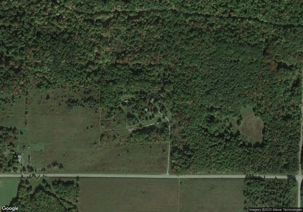
Map
Nearby Homes
- 9539 Bronson Rd
- 1770 County Route 50
- 9392 Bronson Rd
- County Road 46
- 0 County Route 46 Unit S1627490
- 9268 County Route 46
- 81 Lindenwood Dr
- 9 E Lake Rd
- 1189 Willey Rd
- 10402 County Route 46
- 3026 Emo Rd
- 10695 Sandy Hill Rd
- 9069 Oak Hill Rd
- 10516 Oak Hill Rd
- 10817 Sandy Hill Rd
- 0 Akins Rd
- 9929 Lake Hollow Rd
- 2057 New York 63
- 1651 State Route 63
- 0 Yocum Rd