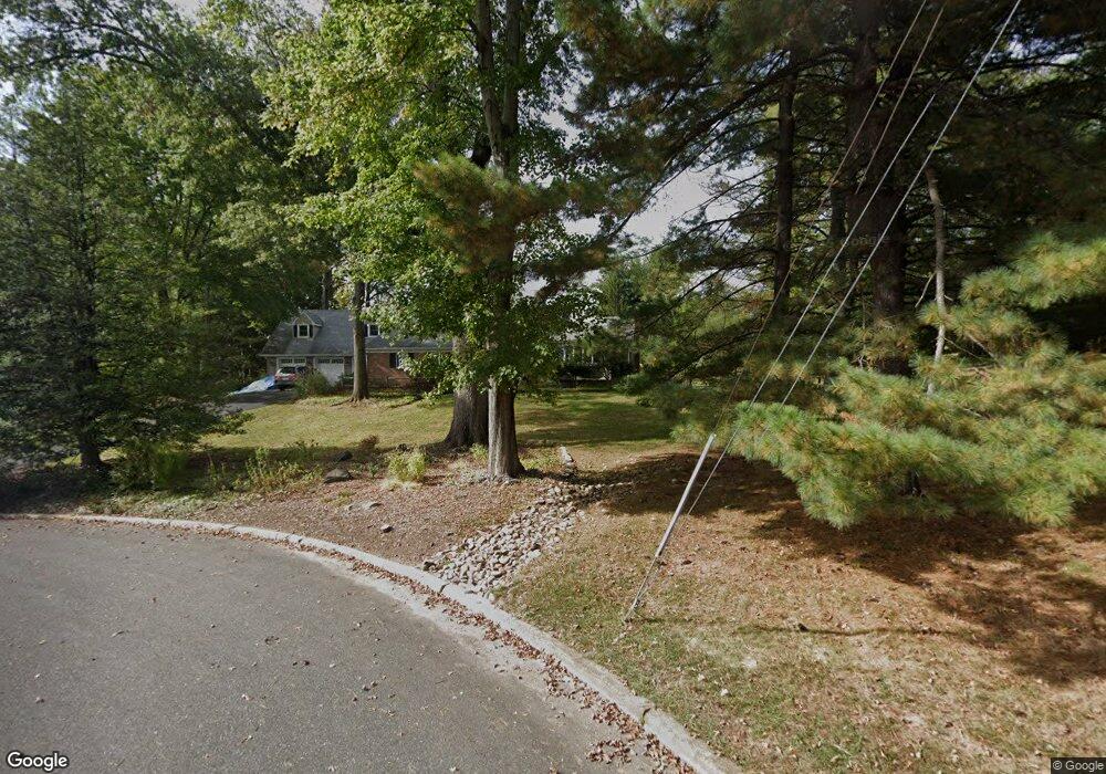
2051 Lynne Way Martinsville, NJ 08836
Estimated Value: $798,000 - $991,000
--
Bed
--
Bath
2,874
Sq Ft
$317/Sq Ft
Est. Value
About This Home
This home is located at 2051 Lynne Way, Martinsville, NJ 08836 and is currently estimated at $912,306, approximately $317 per square foot. 2051 Lynne Way is a home located in Somerset County with nearby schools including Crim Primary School, Bridgewater-Raritan Middle School, and Hillside Intermediate School.
Ownership History
Date
Name
Owned For
Owner Type
Purchase Details
Closed on
Feb 18, 1995
Sold by
Shriver Dave
Bought by
Erlenborn Dave and Erlenborn Shona
Current Estimated Value
Home Financials for this Owner
Home Financials are based on the most recent Mortgage that was taken out on this home.
Original Mortgage
$182,000
Interest Rate
8.96%
Create a Home Valuation Report for This Property
The Home Valuation Report is an in-depth analysis detailing your home's value as well as a comparison with similar homes in the area
Home Values in the Area
Average Home Value in this Area
Purchase History
| Date | Buyer | Sale Price | Title Company |
|---|---|---|---|
| Erlenborn Dave | $332,000 | -- |
Source: Public Records
Mortgage History
| Date | Status | Borrower | Loan Amount |
|---|---|---|---|
| Closed | Erlenborn Dave | $182,000 |
Source: Public Records
Tax History Compared to Growth
Tax History
| Year | Tax Paid | Tax Assessment Tax Assessment Total Assessment is a certain percentage of the fair market value that is determined by local assessors to be the total taxable value of land and additions on the property. | Land | Improvement |
|---|---|---|---|---|
| 2025 | $14,705 | $804,100 | $390,300 | $413,800 |
| 2024 | $14,705 | $754,900 | $390,300 | $364,600 |
| 2023 | $13,737 | $692,400 | $390,300 | $302,100 |
| 2022 | $13,420 | $650,800 | $390,300 | $260,500 |
| 2021 | $13,188 | $639,300 | $390,300 | $249,000 |
| 2020 | $13,165 | $626,000 | $390,300 | $235,700 |
| 2019 | $13,188 | $621,200 | $390,300 | $230,900 |
| 2018 | $13,053 | $616,300 | $390,300 | $226,000 |
| 2017 | $12,798 | $603,700 | $390,300 | $213,400 |
| 2016 | $12,591 | $603,000 | $390,300 | $212,700 |
| 2015 | $12,545 | $601,100 | $390,300 | $210,800 |
| 2014 | $12,241 | $577,700 | $390,300 | $187,400 |
Source: Public Records
Map
Nearby Homes
- 2044 Washington Valley Rd
- 108 Loft Dr
- 2072 Arbor Way
- 112 Loft Dr Unit II112
- 44 Loft Dr
- 2105 Washington Valley Rd
- 769 Chimney Rock Rd
- 4 Loft Dr Unit 4
- 2138 Washington Valley Rd
- 5 Bittle Ct
- 1899 Washington Valley Rd
- 7 Tower Rd
- 10 Assante Ln
- 1831 Washington Valley Rd
- 1 Dock Watch Hollow Rd
- 64 Sneider Rd
- 3 Brookside Dr
- 5 Brookside Dr
- 9 Brookside Dr
- 552 Stangle Rd
- 2065 Lynne Way
- 6 Wilde Hollow
- 2050 Lynne Way
- 8 Wilde Hollow
- 4 Wilde Hollow
- 775 van Nest Dr
- 2060 Lynne Way
- 737 van Nest Dr
- 743 van Nest Dr
- 9 Wilde Hollow
- 2 Wilde Hollow
- 787 van Nest Dr
- 5 Wilde Hollow
- 753 van Nest Dr
- 729 van Nest Dr
- 3 Wilde Hollow
- 2032 Washington Valley Rd
- 776 van Nest Dr
- 768 van Nest Dr
- 762 van Nest Dr