2051 Magnolia Grove Rd Iron Station, NC 28080
Estimated Value: $422,000 - $477,504
4
Beds
3
Baths
2,624
Sq Ft
$173/Sq Ft
Est. Value
About This Home
This home is located at 2051 Magnolia Grove Rd, Iron Station, NC 28080 and is currently estimated at $453,501, approximately $172 per square foot. 2051 Magnolia Grove Rd is a home located in Lincoln County with nearby schools including Iron Station Elementary School, East Lincoln Middle School, and East Lincoln High School.
Ownership History
Date
Name
Owned For
Owner Type
Purchase Details
Closed on
Oct 18, 2024
Sold by
Bumgarner Malinda and Bumgarner Emmitt
Bought by
Bumgarner Melinda
Current Estimated Value
Purchase Details
Closed on
Aug 11, 2016
Sold by
Bynum Hoyt P and Bynum Safarah B
Bought by
Bynum Charles A
Purchase Details
Closed on
Aug 28, 2014
Sold by
Bynum Hoyt P and Bynum Safarah B
Bought by
Bynum Hoyt P
Purchase Details
Closed on
Jan 27, 2010
Sold by
Bynum Hoyt P and Bynum Safarah B
Bought by
Beal Frank B and Beal Helen Rebecca
Create a Home Valuation Report for This Property
The Home Valuation Report is an in-depth analysis detailing your home's value as well as a comparison with similar homes in the area
Home Values in the Area
Average Home Value in this Area
Purchase History
| Date | Buyer | Sale Price | Title Company |
|---|---|---|---|
| Bumgarner Melinda | -- | None Listed On Document | |
| Bumgarner Melinda | -- | None Listed On Document | |
| Bynum Charles A | -- | None Available | |
| Bumgarner Malinda | -- | None Available | |
| Bynum Hoyt P | -- | None Available | |
| Beal Frank B | -- | None Available |
Source: Public Records
Tax History Compared to Growth
Tax History
| Year | Tax Paid | Tax Assessment Tax Assessment Total Assessment is a certain percentage of the fair market value that is determined by local assessors to be the total taxable value of land and additions on the property. | Land | Improvement |
|---|---|---|---|---|
| 2025 | $2,575 | $393,371 | $77,600 | $315,771 |
| 2024 | $2,555 | $393,371 | $77,600 | $315,771 |
| 2023 | $2,497 | $393,371 | $77,600 | $315,771 |
| 2022 | $1,706 | $216,377 | $55,783 | $160,594 |
| 2021 | $1,706 | $216,377 | $55,783 | $160,594 |
| 2020 | $1,548 | $216,377 | $55,783 | $160,594 |
| 2019 | $1,548 | $216,377 | $55,783 | $160,594 |
| 2018 | $1,472 | $188,490 | $53,067 | $135,423 |
| 2017 | $1,371 | $188,490 | $53,067 | $135,423 |
| 2016 | $1,240 | $385,961 | $250,538 | $135,423 |
| 2015 | $1,301 | $385,961 | $250,538 | $135,423 |
| 2014 | $1,470 | $417,639 | $256,999 | $160,640 |
Source: Public Records
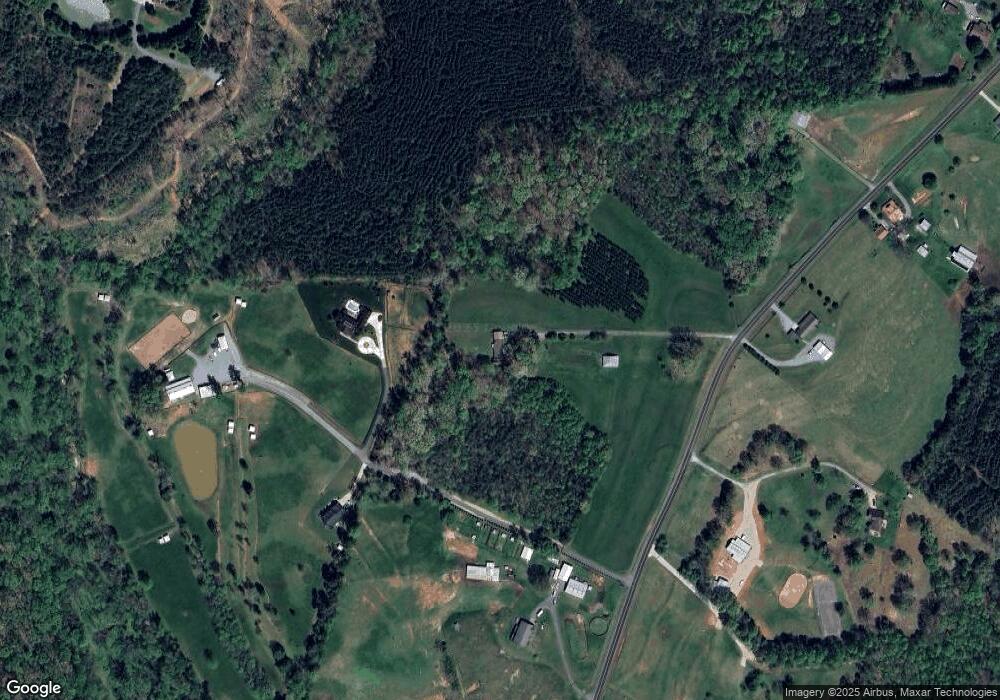
Map
Nearby Homes
- 1987 & 1981 Magnolia Grove Rd
- 1554 Forum Ln
- 2651 Keever Dairy Farm Rd
- 1481 Depot St
- 3388 Rhyne Forest Rd
- 5486 E Highway 27
- 3132 Fox Den Cir
- 00 Southmont Rd
- 3960 Orchard Rd
- 1585 Salem Church Rd
- 1341 Mirror Lake Rd
- 429 Link Dr
- 2452 Salem Church Rd
- 1279 Craig Dr
- 864 Calloway Rd
- 1743 Autumn Banks Way Unit 73p
- 1747 Autumn Banks Way Unit 75p
- 1753 Autumn Banks Way Unit 76p
- 1755 Autumn Banks Way Unit 77p
- 1371 Alexis High Shoals Rd
- 1987 Magnolia Grove Rd
- 1981 Magnolia Grove Rd
- 1973 Magnolia Grove Rd
- 2135 Magnolia Grove Rd
- 1966 Magnolia Grove Rd
- 2136 Magnolia Grove Rd
- 2197 Magnolia Grove Rd
- 2360 Will Schronce Rd
- 2190 Magnolia Grove Rd
- 1870 Magnolia Grove Rd
- 2198 Magnolia Grove Rd
- 2246 Magnolia Grove Rd
- 2494 Will Schronce Rd
- 2259 Magnolia Grove Rd
- 2204 Will Schronce Rd
- 000 Magnolia Grove Rd
- Portion of Parcel 27 Magnolia Grove Rd
- 2132 Will Schronce Rd
- Portion of Magnolia Grove Rd
- 1824 Magnolia Grove Rd