20512 295th Ave Pierre, SD 57501
Estimated Value: $529,000 - $599,000
3
Beds
2
Baths
2,487
Sq Ft
$227/Sq Ft
Est. Value
About This Home
This home is located at 20512 295th Ave, Pierre, SD 57501 and is currently estimated at $565,010, approximately $227 per square foot. 20512 295th Ave is a home with nearby schools including T.F. Riggs High School.
Ownership History
Date
Name
Owned For
Owner Type
Purchase Details
Closed on
Nov 7, 2011
Sold by
Davis Michael L and Davis Mary Elizabeth
Bought by
Kruger Sean M and Kruger Shana J
Current Estimated Value
Home Financials for this Owner
Home Financials are based on the most recent Mortgage that was taken out on this home.
Original Mortgage
$220,000
Outstanding Balance
$149,656
Interest Rate
3.97%
Estimated Equity
$415,354
Purchase Details
Closed on
Feb 28, 2006
Sold by
Stotz Nicholas F
Bought by
Davis Michael L and Davis Mary Elizabeth
Create a Home Valuation Report for This Property
The Home Valuation Report is an in-depth analysis detailing your home's value as well as a comparison with similar homes in the area
Purchase History
| Date | Buyer | Sale Price | Title Company |
|---|---|---|---|
| Kruger Sean M | $275,000 | -- | |
| Davis Michael L | $285,000 | -- |
Source: Public Records
Mortgage History
| Date | Status | Borrower | Loan Amount |
|---|---|---|---|
| Open | Kruger Sean M | $220,000 |
Source: Public Records
Tax History
| Year | Tax Paid | Tax Assessment Tax Assessment Total Assessment is a certain percentage of the fair market value that is determined by local assessors to be the total taxable value of land and additions on the property. | Land | Improvement |
|---|---|---|---|---|
| 2025 | $4,319 | $513,800 | $77,546 | $436,254 |
| 2024 | $4,345 | $473,612 | $71,480 | $402,132 |
| 2023 | $3,986 | $460,726 | $68,402 | $392,324 |
| 2022 | $3,544 | $390,446 | $57,968 | $332,478 |
| 2021 | $3,274 | $330,886 | $49,125 | $281,761 |
| 2020 | $3,329 | $303,900 | $47,694 | $256,206 |
| 2019 | $3,345 | $303,900 | $47,694 | $256,206 |
| 2018 | $3,251 | $289,429 | $45,423 | $244,006 |
| 2017 | -- | $280,999 | $44,100 | $236,899 |
| 2016 | $3,241 | $280,999 | $44,100 | $236,899 |
| 2015 | -- | $254,874 | $40,000 | $214,874 |
| 2014 | -- | $230,130 | $25,488 | $204,642 |
| 2013 | -- | $230,130 | $25,488 | $204,642 |
| 2011 | -- | $219,114 | $25,488 | $193,626 |
Source: Public Records
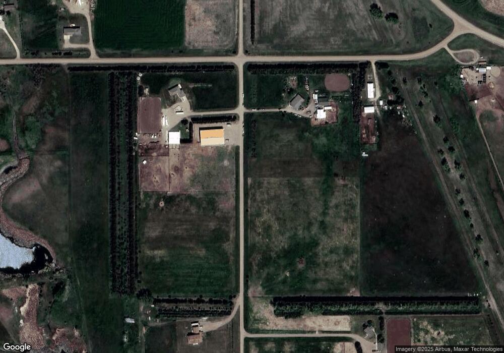
Map
Nearby Homes
- 29536 Stone Place
- 0 Tbd 203rd St St
- 2821 Oxford Ct
- Lot 35 Falcon Ridge Rd
- Lot 3 Falcon Ridge Rd
- 219 Mars St
- 104 Mercury St
- 149 Polaris Ave
- 1649 Northstar Ave Unit 1649 Northstar Ave.,
- 1912 Brighton Ct
- 0 Brookstone Lp
- Lot 13R N Garfield Ave
- 1814 Camden Ct
- 131 Hampton Dr
- 1621 Abbey Rd
- 137 Hampton Dr
- 0 Woodview Dr
- 129 Norbeck Dr
- 109 Baja Dr
- 4305 Sandwedge Dr
- 20507 295th Ave
- 20489 295th Ave
- 29522 205th St
- 20539 295th Ave
- 20477 295th Ave
- 20481 295th Ave
- 29482 205th St
- 29472 205th St
- 29464 205th St
- 29458 205th St
- 20452 295th Ave
- 29452 205th St
- 20315 Redwood Place
- 29528 Stone Place
- 20310 Redwood Place
- 20311 Redwood Place
- 20320 Cedar Ct
- 29531 Stone Place
- 20302 Redwood Place
- 20316 Cedar Ct
Your Personal Tour Guide
Ask me questions while you tour the home.