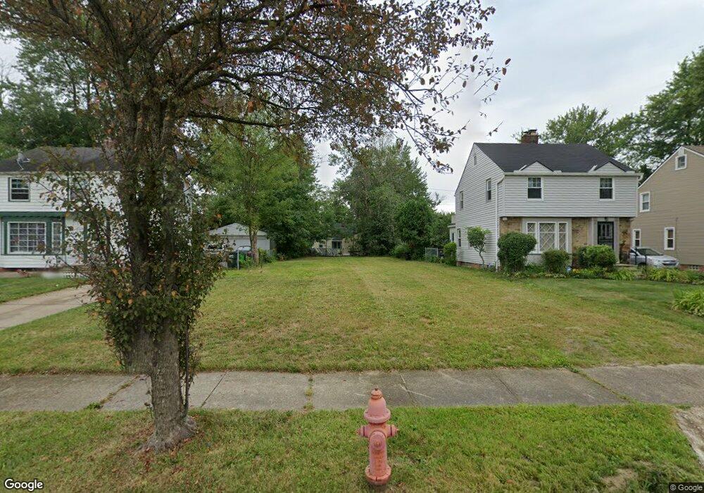
20512 Gladstone Rd Beachwood, OH 44122
Estimated Value: $40,000 - $435,000
3
Beds
1
Bath
1,308
Sq Ft
$188/Sq Ft
Est. Value
About This Home
This home is located at 20512 Gladstone Rd, Beachwood, OH 44122 and is currently estimated at $246,333, approximately $188 per square foot. 20512 Gladstone Rd is a home located in Cuyahoga County with nearby schools including John Dewey Elementary School, Warrensville Heights Middle School, and Warrensville Heights High School.
Ownership History
Date
Name
Owned For
Owner Type
Purchase Details
Closed on
Oct 15, 2004
Sold by
Mitchell Rashad L and Mitchell Alicia
Bought by
Mitchell Nicole M and Mitchell Nikki
Current Estimated Value
Purchase Details
Closed on
Mar 18, 1994
Sold by
Mitchell Larry D
Bought by
Mitchell Lenora M
Purchase Details
Closed on
Sep 9, 1976
Sold by
Ferguson Fred and Ferguson Mattie L
Bought by
Mitchell Larry D
Purchase Details
Closed on
Jan 1, 1975
Bought by
Ferguson Fred and Ferguson Mattie L
Create a Home Valuation Report for This Property
The Home Valuation Report is an in-depth analysis detailing your home's value as well as a comparison with similar homes in the area
Home Values in the Area
Average Home Value in this Area
Purchase History
| Date | Buyer | Sale Price | Title Company |
|---|---|---|---|
| Mitchell Nicole M | $12,500 | Public | |
| Mitchell Lenora M | -- | -- | |
| Mitchell Larry D | $28,500 | -- | |
| Ferguson Fred | -- | -- |
Source: Public Records
Tax History Compared to Growth
Tax History
| Year | Tax Paid | Tax Assessment Tax Assessment Total Assessment is a certain percentage of the fair market value that is determined by local assessors to be the total taxable value of land and additions on the property. | Land | Improvement |
|---|---|---|---|---|
| 2024 | $1,206 | $7,595 | $7,595 | -- |
| 2023 | $12,182 | $27,440 | $5,810 | $21,630 |
| 2022 | $11,708 | $27,440 | $5,810 | $21,630 |
| 2021 | $2,240 | $27,440 | $5,810 | $21,630 |
| 2020 | $2,384 | $23,450 | $4,970 | $18,480 |
| 2019 | $2,132 | $67,000 | $14,200 | $52,800 |
| 2018 | $2,003 | $23,450 | $4,970 | $18,480 |
| 2017 | $1,899 | $20,410 | $3,500 | $16,910 |
| 2016 | $1,873 | $20,410 | $3,500 | $16,910 |
| 2015 | $2,086 | $20,410 | $3,500 | $16,910 |
| 2014 | $2,086 | $23,730 | $4,060 | $19,670 |
Source: Public Records
Map
Nearby Homes
- 3905 Warrensville Center Rd
- 20511 Balfour Rd
- 20516 Amherst Rd
- 20614 Kings Hwy
- 20715 E Ridgewood Ave
- 19912 Lanbury Ave
- 4043 Township Pkwy
- 19901 Lanbury Ave
- 19819 Harvard Ave
- 19615 Harvard Ave
- 19302 Shakerwood Rd
- 19207 Kings Hwy
- 19112 Kings Hwy
- 19110 Lanbury Ave
- 3676 Rawnsdale Rd
- 3651 Rawnsdale Rd
- 20117 Butternut Ln
- 3696 Tolland Rd
- 19502 Hathaway Ln
- 3635 Tolland Rd
- 20508 Gladstone Rd
- 20516 Gladstone Rd
- 20600 Gladstone Rd
- 20502 Gladstone Rd
- 20604 Gladstone Rd
- 20418 Gladstone Rd
- 20513 Sunset Dr
- 20507 Sunset Dr
- 20517 Sunset Dr
- 20601 Sunset Dr
- 20503 Sunset Dr
- 20610 Gladstone Rd
- 20511 Gladstone Rd
- 20605 Sunset Dr
- 20515 Gladstone Rd
- 20507 Gladstone Rd
- 20417 Sunset Dr
- 20601 Gladstone Rd
- 20503 Gladstone Rd
- 3909 Warrensville Center Rd