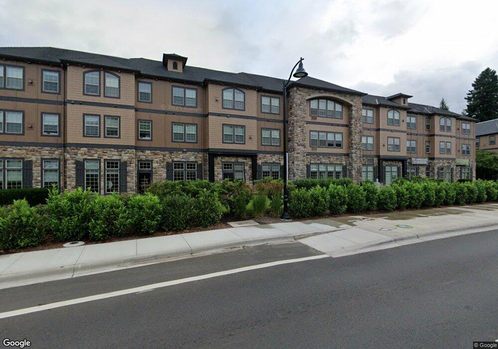
Hunter's Ridge 20512 SW Roy Rogers Rd Unit 312 Sherwood, OR 97140
Estimated Value: $418,000
3
Beds
2
Baths
1,533
Sq Ft
$273/Sq Ft
Est. Value
About This Home
This home is located at 20512 SW Roy Rogers Rd Unit 312, Sherwood, OR 97140 and is currently estimated at $418,000, approximately $272 per square foot. 20512 SW Roy Rogers Rd Unit 312 is a home located in Washington County with nearby schools including Ridges Elementary School, Sherwood Middle School, and Sherwood High School.
Ownership History
Date
Name
Owned For
Owner Type
Purchase Details
Closed on
Mar 27, 2023
Sold by
Mcgrath Thomas E
Bought by
Mcgrath Family Revocable Trust
Current Estimated Value
Purchase Details
Closed on
Jun 9, 2016
Sold by
Galer Mary Ann
Bought by
Mcgrath Thomas E and Mcgrath Carol A
Home Financials for this Owner
Home Financials are based on the most recent Mortgage that was taken out on this home.
Original Mortgage
$152,398
Interest Rate
3.66%
Mortgage Type
New Conventional
Purchase Details
Closed on
Mar 22, 2013
Sold by
Wolfe Marilyn L
Bought by
Rhodes Douglas and Galer Maryann
Purchase Details
Closed on
May 9, 2012
Sold by
Sherwood Crossing Llc
Bought by
Wolfe Marilyn L
Purchase Details
Closed on
Jun 15, 2006
Sold by
Sherwood Crossing Llc
Bought by
Wolfe Marilyn L
Create a Home Valuation Report for This Property
The Home Valuation Report is an in-depth analysis detailing your home's value as well as a comparison with similar homes in the area
Home Values in the Area
Average Home Value in this Area
Purchase History
| Date | Buyer | Sale Price | Title Company |
|---|---|---|---|
| Mcgrath Family Revocable Trust | -- | -- | |
| Mcgrath Thomas E | $289,000 | Wfg | |
| Rhodes Douglas | $235,000 | First American | |
| Wolfe Marilyn L | -- | First American | |
| Wolfe Marilyn L | $320,000 | First American |
Source: Public Records
Mortgage History
| Date | Status | Borrower | Loan Amount |
|---|---|---|---|
| Previous Owner | Mcgrath Thomas E | $152,398 |
Source: Public Records
Tax History Compared to Growth
Tax History
| Year | Tax Paid | Tax Assessment Tax Assessment Total Assessment is a certain percentage of the fair market value that is determined by local assessors to be the total taxable value of land and additions on the property. | Land | Improvement |
|---|---|---|---|---|
| 2026 | $5,082 | $274,600 | -- | -- |
| 2025 | $5,082 | $266,610 | -- | -- |
| 2024 | $4,961 | $258,850 | -- | -- |
| 2023 | $125 | $6,340 | $0 | $0 |
| 2022 | $112 | $6,340 | $0 | $0 |
| 2021 | $4,380 | $236,900 | $0 | $0 |
| 2020 | $109 | $5,820 | $0 | $0 |
| 2019 | $107 | $5,660 | $0 | $0 |
| 2018 | $4,099 | $216,810 | $0 | $0 |
| 2017 | $3,991 | $210,500 | $0 | $0 |
| 2016 | $98 | $5,190 | $0 | $0 |
Source: Public Records
About Hunter's Ridge
Map
Nearby Homes
- 20508 SW Roy Rogers Rd Unit 324
- 20445 SW Arnold Place
- 17093 SW Lynnly Way
- 16097 SW Holland Ln
- 21069 SW Madeira Terrace
- 15779 SW Harvester Ln
- 16045 SW Red Clover Ln
- 20830 SW Trailblazer Place
- 21467 SW Fallow Terrace
- 16718 SW Gleneagle Dr Unit 60 H
- 16738 SW Gleneagle Dr Unit 44
- 15678 SW Thrasher Way
- 20672 SW Santa fe Terrace
- 21658 SW Berkshire Terrace
- 21698 SW Berkshire Terrace
- 22146 SW Little John Terrace
- 18201 SW Edy Rd
- 0 SW Pine St
- 15416 SW Darla Kay Ct
- 20812 SW Elwert Rd
- 20512 SW Roy Rogers Rd Unit 219
- 20512 SW Roy Rogers Rd Unit 320
- 20512 SW Roy Rogers Rd Unit 216
- 20512 SW Roy Rogers Rd Unit 112
- 20512 SW Roy Rogers Rd Unit 311
- 20512 SW Roy Rogers Rd Unit 114
- 20512 SW Roy Rogers Rd Unit 215
- 20512 SW Roy Rogers Rd Unit 109
- 20512 SW Roy Rogers Rd Unit 110
- 20512 SW Roy Rogers Rd Unit 315
- 20512 SW Roy Rogers Rd Unit 319
- 20512 SW Roy Rogers Rd
- 20512 SW Roy Rogers Rd
- 20512 SW Roy Rogers Rd
- 20512 SW Roy Rogers Rd
- 20512 SW Roy Rogers Rd
- 20512 SW Roy Rogers Rd
- 20512 SW Roy Rogers Rd
- 20512 SW Roy Rogers Rd
- 20512 SW Roy Rogers Rd