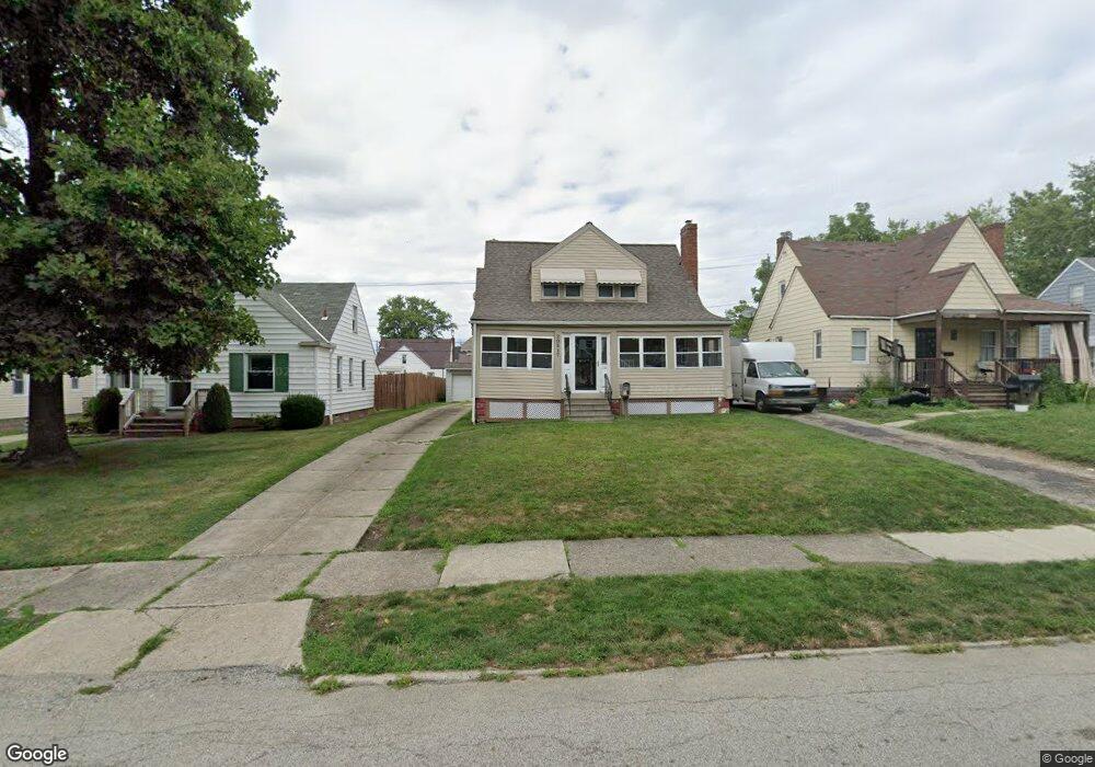
20517 Franklin Rd Maple Heights, OH 44137
Estimated Value: $104,000 - $122,183
3
Beds
2
Baths
1,240
Sq Ft
$90/Sq Ft
Est. Value
About This Home
This home is located at 20517 Franklin Rd, Maple Heights, OH 44137 and is currently estimated at $111,546, approximately $89 per square foot. 20517 Franklin Rd is a home located in Cuyahoga County with nearby schools including Abraham Lincoln Elementary School, Rockside/ J.F. Kennedy School, and Barack Obama School.
Ownership History
Date
Name
Owned For
Owner Type
Purchase Details
Closed on
Jul 16, 1990
Sold by
Green Michael R
Bought by
Green Vanessa Aka
Current Estimated Value
Purchase Details
Closed on
Aug 26, 1988
Sold by
Kapsa Richard S
Bought by
Green Michael R
Purchase Details
Closed on
Jan 17, 1984
Sold by
Kovach Jess W
Bought by
Kapsa Richard S
Purchase Details
Closed on
Jun 17, 1982
Sold by
Schneck Ethel M
Bought by
Kovach Jess W
Purchase Details
Closed on
Jan 1, 1975
Bought by
Schneck Ethel M
Create a Home Valuation Report for This Property
The Home Valuation Report is an in-depth analysis detailing your home's value as well as a comparison with similar homes in the area
Home Values in the Area
Average Home Value in this Area
Purchase History
| Date | Buyer | Sale Price | Title Company |
|---|---|---|---|
| Green Vanessa Aka | -- | -- | |
| Green Michael R | $49,900 | -- | |
| Kapsa Richard S | $48,000 | -- | |
| Kovach Jess W | -- | -- | |
| Schneck Ethel M | -- | -- |
Source: Public Records
Tax History
| Year | Tax Paid | Tax Assessment Tax Assessment Total Assessment is a certain percentage of the fair market value that is determined by local assessors to be the total taxable value of land and additions on the property. | Land | Improvement |
|---|---|---|---|---|
| 2024 | $2,622 | $27,965 | $7,420 | $20,545 |
| 2023 | $2,428 | $22,650 | $4,480 | $18,170 |
| 2022 | $2,419 | $22,650 | $4,480 | $18,170 |
| 2021 | $2,578 | $22,650 | $4,480 | $18,170 |
| 2020 | $2,204 | $17,150 | $3,400 | $13,760 |
| 2019 | $2,191 | $49,000 | $9,700 | $39,300 |
| 2018 | $2,180 | $17,150 | $3,400 | $13,760 |
| 2017 | $1,955 | $14,700 | $3,150 | $11,550 |
| 2016 | $2,193 | $14,700 | $3,150 | $11,550 |
| 2015 | $1,889 | $14,700 | $3,150 | $11,550 |
| 2014 | $1,889 | $16,180 | $3,470 | $12,710 |
Source: Public Records
Map
Nearby Homes
- 20517 Raymond St
- 5147 Warrensville Center Rd
- 20600 Watson Rd
- 20715 Watson Rd
- 20806 Clare Ave
- 20705 Hansen Rd
- 20905 Clare Ave
- 19931 Raymond St
- 21202 Hillgrove Ave
- 21207 Franklin Rd
- 21202 Gardenview Dr
- 19520 Maple Heights Blvd
- 21600 Franklin Rd
- 5165 Camden Rd
- 21607 Libby Rd
- 19289 Stafford Ave
- 21860 Louis Rd
- 5194 Homewood Ave
- 18990 Raymond St
- 18851 Raymond St
- 20605 Franklin Rd
- 20509 Franklin Rd
- 20505 Franklin Rd
- 20607 Franklin Rd
- 20514 Raymond St
- 20501 Franklin Rd
- 20510 Raymond St
- 20600 Raymond St
- 20609 Franklin Rd
- 20604 Raymond St
- 20504 Raymond St
- 20516 Franklin Rd
- 20512 Franklin Rd
- 20611 Franklin Rd
- 20600 Franklin Rd
- 20508 Franklin Rd
- 20500 Raymond St
- 20604 Franklin Rd
- 20650 Raymond St
- 20502 Franklin Rd
Your Personal Tour Guide
Ask me questions while you tour the home.