2052 Cain Ln Weatherford, TX 76088
Estimated Value: $737,000
--
Bed
--
Bath
3,768
Sq Ft
$196/Sq Ft
Est. Value
About This Home
This home is located at 2052 Cain Ln, Weatherford, TX 76088 and is currently estimated at $737,000, approximately $195 per square foot. 2052 Cain Ln is a home located in Parker County with nearby schools including Garner Elementary School.
Ownership History
Date
Name
Owned For
Owner Type
Purchase Details
Closed on
Aug 30, 2000
Sold by
Exchange Resources Inc
Bought by
Howe John A and Howe Helen J
Current Estimated Value
Purchase Details
Closed on
Jun 16, 2000
Sold by
Davis Nick E and Davis Pamela
Bought by
Howe John A and Howe Helen J
Purchase Details
Closed on
Nov 26, 1997
Bought by
Howe John A and Howe Helen J
Purchase Details
Closed on
Nov 24, 1997
Bought by
Howe John A and Howe Helen J
Purchase Details
Closed on
Apr 25, 1988
Bought by
Howe John A and Howe Helen J
Create a Home Valuation Report for This Property
The Home Valuation Report is an in-depth analysis detailing your home's value as well as a comparison with similar homes in the area
Home Values in the Area
Average Home Value in this Area
Purchase History
| Date | Buyer | Sale Price | Title Company |
|---|---|---|---|
| Howe John A | -- | -- | |
| Howe John A | -- | -- | |
| Howe John A | -- | -- | |
| Howe John A | -- | -- | |
| Howe John A | -- | -- |
Source: Public Records
Tax History Compared to Growth
Tax History
| Year | Tax Paid | Tax Assessment Tax Assessment Total Assessment is a certain percentage of the fair market value that is determined by local assessors to be the total taxable value of land and additions on the property. | Land | Improvement |
|---|---|---|---|---|
| 2025 | $12,858 | $701,100 | $25,000 | $676,100 |
| 2024 | $12,858 | $973,130 | $26,320 | $946,810 |
| 2023 | $12,858 | $973,130 | $26,320 | $946,810 |
| 2022 | $11,386 | $731,190 | $9,000 | $722,190 |
| 2021 | $12,754 | $731,190 | $9,000 | $722,190 |
| 2020 | $10,366 | $595,520 | $7,000 | $588,520 |
| 2019 | $10,348 | $556,450 | $7,000 | $549,450 |
| 2018 | $10,474 | $559,650 | $7,400 | $552,250 |
| 2017 | $10,628 | $559,650 | $7,400 | $552,250 |
| 2016 | $9,685 | $510,020 | $4,500 | $505,520 |
| 2015 | $6,039 | $510,020 | $4,500 | $505,520 |
| 2014 | $6,055 | $491,780 | $4,500 | $487,280 |
Source: Public Records
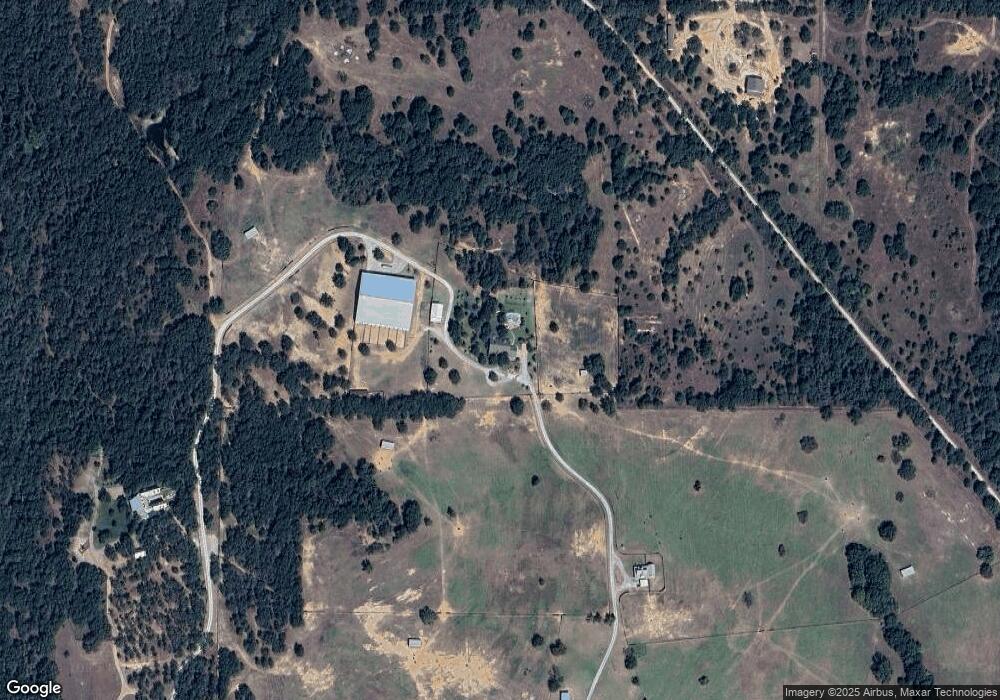
Map
Nearby Homes
- 1511 Cabaniss Ln
- TBD Old Authon Rd
- TBD Mineral Wells Hwy
- 0 Tbd Old Authon Rd
- 201 Threatt Ln
- 217 Jefferson Way
- Lot 3 Suade Way
- Lot 8 Suade Way
- Lot 5 Suade Way
- 233 Jefferson Way
- 121 Norene Ln
- TBD Willow Unit 3B
- TBD Willow Unit 3A
- Lot 6 Suade Way
- Lot 7 Suade Way
- 117 Norene Ln
- Lot 2 Suade Way
- 125 Norene Ln
- Lot 1 Way
- Lot 4 Suade Way
- 2048 Cain Ln
- 4792 Garner Rd
- 2040 Cain Ln
- 2034 Cain Ln
- 2039 Cain Ln
- 2030 Cain Ln
- 4445 Franko Switch Rd
- 2022 Cain Ln
- 4444 Franko Switch Rd
- 4840 Garner Rd
- 4538 Franko Switch Rd
- 4534 Franko Switch Rd
- 4045 Franko Switch Rd
- 4500 Franko Switch Rd
- 2111 Candle Ln
- 1501 Cabaniss Ln
- 4044 Franko Switch Rd
- 4631 Old Garner Rd
- 4600 Franko Switch Rd Unit SWITCH
- 1978 Cain Ln