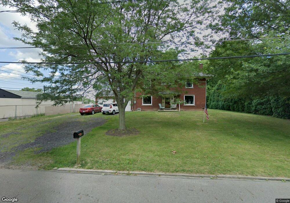
2052 Crestview Ave Alliance, OH 44601
Estimated Value: $223,000 - $235,000
4
Beds
2
Baths
2,237
Sq Ft
$103/Sq Ft
Est. Value
About This Home
This home is located at 2052 Crestview Ave, Alliance, OH 44601 and is currently estimated at $229,589, approximately $102 per square foot. 2052 Crestview Ave is a home located in Stark County with nearby schools including Alliance Elementary School at Rockhill, Alliance Intermediate School at Northside, and Alliance Middle School.
Ownership History
Date
Name
Owned For
Owner Type
Purchase Details
Closed on
Nov 5, 2007
Sold by
Zien Hwa Ming and Zien Cherry Chi
Bought by
Walker Donna M
Current Estimated Value
Home Financials for this Owner
Home Financials are based on the most recent Mortgage that was taken out on this home.
Original Mortgage
$98,000
Outstanding Balance
$62,005
Interest Rate
6.38%
Mortgage Type
Purchase Money Mortgage
Estimated Equity
$167,584
Create a Home Valuation Report for This Property
The Home Valuation Report is an in-depth analysis detailing your home's value as well as a comparison with similar homes in the area
Home Values in the Area
Average Home Value in this Area
Purchase History
| Date | Buyer | Sale Price | Title Company |
|---|---|---|---|
| Walker Donna M | $98,000 | Heritage Union Title Co Ltd |
Source: Public Records
Mortgage History
| Date | Status | Borrower | Loan Amount |
|---|---|---|---|
| Open | Walker Donna M | $98,000 |
Source: Public Records
Tax History
| Year | Tax Paid | Tax Assessment Tax Assessment Total Assessment is a certain percentage of the fair market value that is determined by local assessors to be the total taxable value of land and additions on the property. | Land | Improvement |
|---|---|---|---|---|
| 2025 | -- | $58,420 | $11,690 | $46,730 |
| 2024 | -- | $70,250 | $11,690 | $58,560 |
| 2023 | $1,916 | $47,680 | $10,890 | $36,790 |
| 2022 | $1,157 | $47,680 | $10,890 | $36,790 |
| 2021 | $1,191 | $47,680 | $10,890 | $36,790 |
| 2020 | $1,760 | $40,600 | $9,450 | $31,150 |
| 2019 | $335 | $40,600 | $9,450 | $31,150 |
Source: Public Records
Map
Nearby Homes
- 1016 Roseland Rd
- 0 Federal Ave
- 1615 Fairview Place
- 1534 Fernwood Blvd
- 864 W College Rd
- 1539 Parkway Blvd
- 2630 Blenheim Ave
- 1870 Northview Ave
- 2635 Blenheim Ave
- 1310 Overlook Dr
- 720 Vincent Blvd
- 1176 Parkside Dr
- 1601 Raywood Rd
- 2625 Belleflower Dr
- 856 Birchwood Dr
- 2420 Beechwood Ave
- 1030 Sunset Dr
- 1114 Briarcliff Ave
- 1136 Parkway Blvd
- 2705 Shunk Ave
- 2070 Crestview Ave
- 1170 W State St
- 2077 Crestview Ave
- 2051 Crestview Ave
- 2084 Crestview Ave
- 1186 W State St
- 1194 W State St
- 2095 Crestview Ave
- 2096 Crestview Ave
- 2099 Crestview Ave
- 2054 Center Ave
- 2070 Center Ave
- 2084 Center Ave
- 2090 Center Ave
- 1131 W State St
- 1131 W State St
- 1096 W State St
- 2098 Center Ave
- 1207 W State St
- 1207 W State St Unit B
Your Personal Tour Guide
Ask me questions while you tour the home.