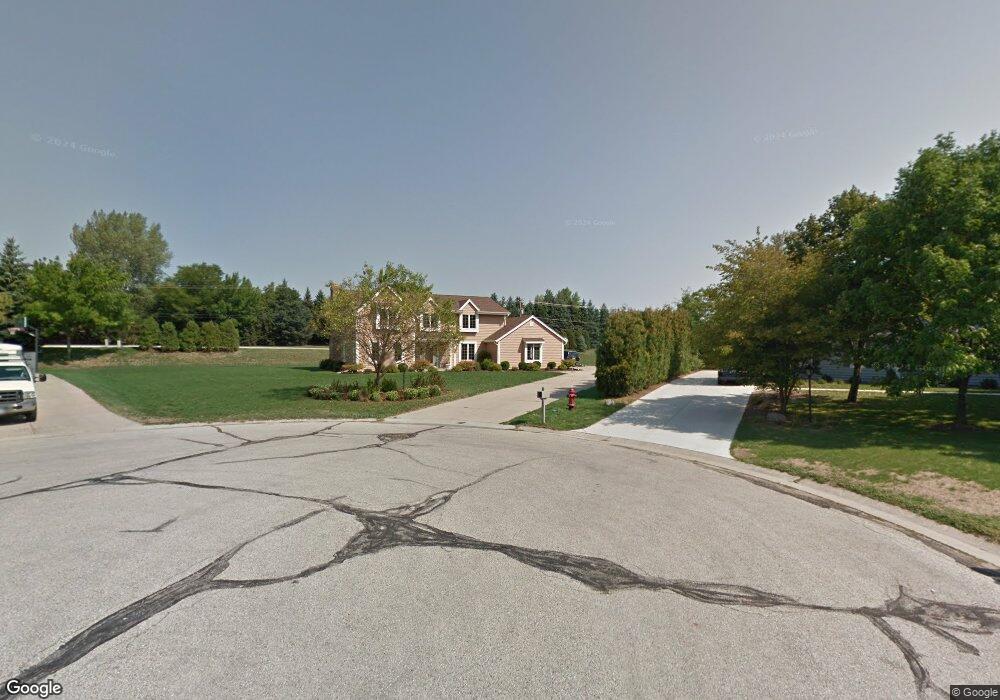
20520 Dexter Ct Brookfield, WI 53045
Estimated Value: $598,000 - $698,000
4
Beds
3
Baths
2,660
Sq Ft
$244/Sq Ft
Est. Value
About This Home
This home is located at 20520 Dexter Ct, Brookfield, WI 53045 and is currently estimated at $649,409, approximately $244 per square foot. 20520 Dexter Ct is a home located in Waukesha County with nearby schools including Brookfield Elementary School, Wisconsin Hills Middle School, and Brookfield Central High School.
Ownership History
Date
Name
Owned For
Owner Type
Purchase Details
Closed on
Sep 11, 2003
Sold by
Palmisano Pamela A
Bought by
Palmisano Michael A
Current Estimated Value
Home Financials for this Owner
Home Financials are based on the most recent Mortgage that was taken out on this home.
Original Mortgage
$137,000
Interest Rate
6.04%
Mortgage Type
Purchase Money Mortgage
Create a Home Valuation Report for This Property
The Home Valuation Report is an in-depth analysis detailing your home's value as well as a comparison with similar homes in the area
Home Values in the Area
Average Home Value in this Area
Purchase History
| Date | Buyer | Sale Price | Title Company |
|---|---|---|---|
| Palmisano Michael A | -- | -- |
Source: Public Records
Mortgage History
| Date | Status | Borrower | Loan Amount |
|---|---|---|---|
| Closed | Palmisano Michael A | $137,000 |
Source: Public Records
Tax History
| Year | Tax Paid | Tax Assessment Tax Assessment Total Assessment is a certain percentage of the fair market value that is determined by local assessors to be the total taxable value of land and additions on the property. | Land | Improvement |
|---|---|---|---|---|
| 2024 | $5,456 | $488,800 | $134,300 | $354,500 |
| 2023 | $5,459 | $488,800 | $134,300 | $354,500 |
| 2022 | $5,563 | $389,600 | $130,000 | $259,600 |
| 2021 | $5,892 | $389,600 | $130,000 | $259,600 |
| 2020 | $6,146 | $389,600 | $130,000 | $259,600 |
| 2019 | $5,904 | $389,600 | $130,000 | $259,600 |
| 2018 | $5,868 | $376,300 | $130,000 | $246,300 |
| 2017 | $5,868 | $376,300 | $130,000 | $246,300 |
| 2016 | $5,953 | $376,300 | $130,000 | $246,300 |
| 2015 | $5,919 | $376,300 | $130,000 | $246,300 |
| 2014 | $6,140 | $376,300 | $130,000 | $246,300 |
| 2013 | $6,140 | $376,300 | $130,000 | $246,300 |
Source: Public Records
Map
Nearby Homes
- 20305 Downing Ct
- 1825 Derrin Ln
- 1775 Derrin Ln
- 2000 Kathlynn Ct
- 19775 Trilby Ct
- 2820 Norman Dr
- 1930 Cotton Tail Ln
- 2550 Harmony Cir
- Lt118 Berwick Ct
- Lt120 Berwick Ct
- Lt116 Berwick Ct
- Lt114 Berwick Ct
- 2465 Lionel Ct
- 19260 Brookdale Dr
- 18865 Tanala Dr
- 18860 N Hills Dr
- 1040 Lansdowne Ct Unit V6
- 18850 N Hills Dr
- 18985 Wilderness Ct Unit B
- W221N3075 Greenwood Ct
- 20505 Dexter Ct
- 20505 Coventry Dr
- 20570 Dexter Ct
- 20545 Coventry Dr
- 20485 Coventry Dr
- 20585 Coventry Dr
- 20565 Dexter Ct
- 2270 Vincent Dr
- 2240 Vincent Dr
- 20625 Coventry Dr
- 20600 Dexter Ct
- Lot 15 N Barker Rd
- 20510 Coventry Dr
- 20550 Coventry Dr
- 20585 Dexter Ct
- 2350 Chanticleer Dr
- 20675 Coventry Dr
- 20600 Coventry Dr
- 2225 Vincent Dr
- 20640 Coventry Dr
Your Personal Tour Guide
Ask me questions while you tour the home.