20520 NE 221st Cir Battle Ground, WA 98604
Estimated Value: $700,688 - $770,000
3
Beds
3
Baths
2,158
Sq Ft
$343/Sq Ft
Est. Value
About This Home
This home is located at 20520 NE 221st Cir, Battle Ground, WA 98604 and is currently estimated at $740,422, approximately $343 per square foot. 20520 NE 221st Cir is a home located in Clark County with nearby schools including Tukes Valley Primary School, Tukes Valley Middle School, and Battle Ground High School.
Ownership History
Date
Name
Owned For
Owner Type
Purchase Details
Closed on
Aug 22, 2000
Sold by
Etulain Robert R and Etulain Stephanie L
Bought by
Eddington Michael and Eddington Marianne L
Current Estimated Value
Home Financials for this Owner
Home Financials are based on the most recent Mortgage that was taken out on this home.
Original Mortgage
$175,000
Outstanding Balance
$63,139
Interest Rate
8.15%
Estimated Equity
$677,283
Purchase Details
Closed on
Aug 31, 1998
Sold by
Prudential Residential Svcs Ltd Prtnrshp
Bought by
Etulain Robert R and Etulain Stephanie L
Home Financials for this Owner
Home Financials are based on the most recent Mortgage that was taken out on this home.
Original Mortgage
$140,000
Interest Rate
6.92%
Purchase Details
Closed on
Jan 16, 1998
Sold by
Ekstrand Timothy T and Ekstrand Randi A
Bought by
Prudential Residential Svcs Ltd Prtnrshp
Create a Home Valuation Report for This Property
The Home Valuation Report is an in-depth analysis detailing your home's value as well as a comparison with similar homes in the area
Home Values in the Area
Average Home Value in this Area
Purchase History
| Date | Buyer | Sale Price | Title Company |
|---|---|---|---|
| Eddington Michael | $248,000 | Charter Title Corporation | |
| Etulain Robert R | $240,000 | First American Title Co | |
| Prudential Residential Svcs Ltd Prtnrshp | -- | First American Title Ins Co |
Source: Public Records
Mortgage History
| Date | Status | Borrower | Loan Amount |
|---|---|---|---|
| Open | Eddington Michael | $175,000 | |
| Previous Owner | Etulain Robert R | $140,000 |
Source: Public Records
Tax History Compared to Growth
Tax History
| Year | Tax Paid | Tax Assessment Tax Assessment Total Assessment is a certain percentage of the fair market value that is determined by local assessors to be the total taxable value of land and additions on the property. | Land | Improvement |
|---|---|---|---|---|
| 2025 | $5,134 | $633,778 | $300,411 | $333,367 |
| 2024 | $4,620 | $616,189 | $300,411 | $315,778 |
| 2023 | $4,859 | $633,619 | $311,247 | $322,372 |
| 2022 | $4,425 | $609,701 | $287,809 | $321,892 |
| 2021 | $4,564 | $483,099 | $204,878 | $278,221 |
| 2020 | $4,417 | $456,619 | $219,300 | $237,319 |
| 2019 | $3,865 | $430,872 | $206,680 | $224,192 |
| 2018 | $4,493 | $432,670 | $0 | $0 |
| 2017 | $3,757 | $383,424 | $0 | $0 |
| 2016 | $3,722 | $349,549 | $0 | $0 |
| 2015 | $3,689 | $317,721 | $0 | $0 |
| 2014 | -- | $297,875 | $0 | $0 |
| 2013 | -- | $268,684 | $0 | $0 |
Source: Public Records
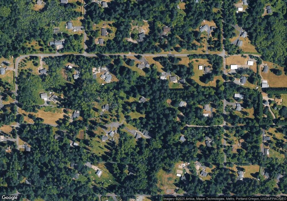
Map
Nearby Homes
- 20015 NE 234th St
- 0 NE 212th Ave
- 22400 NE 216th Cir
- 21017 NE Risto Rd
- 21821 NE Rock Creek Canyon Rd
- 20607 NE Allworth Rd
- 19815 NE Allworth Rd
- 20502 NE 225th Ave
- 22814 NE 182nd Ave
- 22314 NE 182nd Ave
- 20205 NE 190th Ave
- 23417 NE Canyon Rd
- 22414 NE 200th St
- 19301 NE 249th St
- 0 212th Ave
- 25307 NE 212th Ave
- 19119 NE 204th Ave
- 19911 NE 179th Ct
- 18717 NE 208th Ct
- 18205 NE 249th St
- 20500 NE 221st Cir
- 20804 NE 221st Cir
- 20709 NE 224th St
- 20519 NE 221st Cir
- 20405 NE 224th St
- 20805 NE 221st Cir
- 20614 NE 224th St
- 22120 NE 209th Ave
- 20316 NE 221st Cir
- 20317 NE 224th St
- 22314 NE 209th Ave
- 20302 NE 204th Ave
- 20820 NE 224th St
- 22417 NE 204th Ave
- 22005 NE 204th Ct
- 22024 NE 209th Ave
- 22001 NE 204th Ct
- 22207 NE 202nd Ave
- 20800 NE 219th St