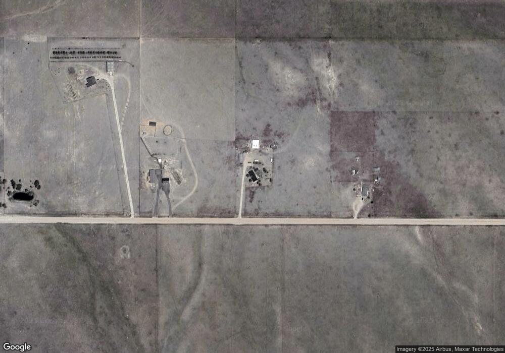
20520 Spencer Rd Peyton, CO 80831
Estimated Value: $458,000 - $680,000
4
Beds
2
Baths
3,027
Sq Ft
$185/Sq Ft
Est. Value
About This Home
This home is located at 20520 Spencer Rd, Peyton, CO 80831 and is currently estimated at $560,000, approximately $185 per square foot. 20520 Spencer Rd is a home located in El Paso County with nearby schools including Peyton Elementary School and Peyton Senior High School.
Ownership History
Date
Name
Owned For
Owner Type
Purchase Details
Closed on
Feb 9, 2005
Sold by
Mockerman Timothy Roy
Bought by
Mockerman Timothy Roy and Mockerman Marla
Current Estimated Value
Purchase Details
Closed on
Aug 30, 1991
Bought by
Mockerman Timothy R and Mockerman Marla
Purchase Details
Closed on
Feb 1, 1990
Bought by
Mockerman Timothy R and Mockerman Marla
Create a Home Valuation Report for This Property
The Home Valuation Report is an in-depth analysis detailing your home's value as well as a comparison with similar homes in the area
Home Values in the Area
Average Home Value in this Area
Purchase History
| Date | Buyer | Sale Price | Title Company |
|---|---|---|---|
| Mockerman Timothy Roy | -- | -- | |
| Mockerman Timothy R | -- | -- | |
| Mockerman Timothy R | -- | -- |
Source: Public Records
Tax History Compared to Growth
Tax History
| Year | Tax Paid | Tax Assessment Tax Assessment Total Assessment is a certain percentage of the fair market value that is determined by local assessors to be the total taxable value of land and additions on the property. | Land | Improvement |
|---|---|---|---|---|
| 2025 | $1,238 | $35,340 | -- | -- |
| 2024 | $1,093 | $33,070 | $9,990 | $23,080 |
| 2023 | $1,093 | $33,070 | $9,990 | $23,080 |
| 2022 | $1,060 | $23,080 | $7,640 | $15,440 |
| 2021 | $1,136 | $23,760 | $7,860 | $15,900 |
| 2020 | $1,038 | $21,090 | $6,880 | $14,210 |
| 2019 | $1,021 | $21,090 | $6,880 | $14,210 |
| 2018 | $825 | $16,590 | $6,930 | $9,660 |
| 2017 | $820 | $16,590 | $6,930 | $9,660 |
| 2016 | $760 | $15,350 | $6,610 | $8,740 |
| 2015 | $757 | $15,350 | $6,610 | $8,740 |
| 2014 | $693 | $13,880 | $6,800 | $7,080 |
Source: Public Records
Map
Nearby Homes
- 21150 Sampson Rd
- 21785 Spencer Rd
- 11987 Peyton Hwy
- 20713 Blue Springs View
- 20533 Blue Springs View
- 18702 Longhorn Acres Trail
- 11603 Bradshaw Rd
- 10165 Mcclelland Rd
- 13886 Log Rd
- 3780 Log Rd
- 3920 Log Rd
- 19530 Cheryl Grove
- Tract 7 Mcclelland Rd
- Tract 6 Mcclelland Rd
- Tract 21 Mcclelland Rd
- 22835 Farmhouse Ct
- 8175 Howdy Partner View
- 22945 Farmhouse Ct
- 7880 J D Johnson Rd
- 000 Judge Orr Rd
- 20450 Spencer Rd
- 20710 Spencer Rd
- 19860 Spencer Rd
- 10650 Eureka Rd
- 19908 Spencer Rd
- 10750 Eureka Rd
- 19890 Spencer Rd
- 11100 Arshad Dr
- 20365 Belinda Dr
- 20315 Belinda Dr
- 20425 Belinda Dr
- 11330 Arshad Dr
- 20310 Belinda Dr
- 11335 Arshad Dr
- 20565 Belinda Dr
- 20420 Belinda Dr
- 20360 Belinda Dr
- 0 Carpenter Rd Unit 9 REC7098073
- 0 Carpenter Rd Unit 3970375
- 0 Carpenter Rd Unit REC7098073
