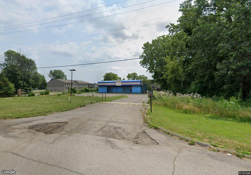
20525 Wick Rd Taylor, MI 48180
Estimated Value: $153,133
Studio
--
Bath
2,527
Sq Ft
$61/Sq Ft
Est. Value
About This Home
This home is located at 20525 Wick Rd, Taylor, MI 48180 and is currently estimated at $153,133, approximately $60 per square foot. 20525 Wick Rd is a home located in Wayne County with nearby schools including Blair Moody Elementary School, Robert J. West Middle School, and Taylor Preparatory High School.
Ownership History
Date
Name
Owned For
Owner Type
Purchase Details
Closed on
Mar 24, 2023
Sold by
Rt Michigan Properties Llc
Bought by
Los Charros Entertainment Llc
Current Estimated Value
Purchase Details
Closed on
Mar 21, 2023
Sold by
Taylor South Investment Llc
Bought by
Rt Michigan Properties Llc
Purchase Details
Closed on
Oct 16, 2020
Sold by
Taylor Rehab Twelve Llc
Bought by
Taylor South Investment Llc
Purchase Details
Closed on
Aug 21, 2018
Sold by
City Of Taylor
Bought by
Taylor Rehab Twelve Llc
Purchase Details
Closed on
Aug 10, 2018
Sold by
Sabree Eric R
Bought by
Treasurer City Of Taylor
Create a Home Valuation Report for This Property
The Home Valuation Report is an in-depth analysis detailing your home's value as well as a comparison with similar homes in the area
Home Values in the Area
Average Home Value in this Area
Purchase History
| Date | Buyer | Sale Price | Title Company |
|---|---|---|---|
| Los Charros Entertainment Llc | $125,000 | Speedy Title & Escrow Services | |
| Rt Michigan Properties Llc | -- | -- | |
| Taylor South Investment Llc | -- | None Available | |
| Taylor Rehab Twelve Llc | -- | None Available | |
| Treasurer City Of Taylor | $10,292 | None Available |
Source: Public Records
Tax History
| Year | Tax Paid | Tax Assessment Tax Assessment Total Assessment is a certain percentage of the fair market value that is determined by local assessors to be the total taxable value of land and additions on the property. | Land | Improvement |
|---|---|---|---|---|
| 2025 | $5,298 | $86,500 | $0 | $0 |
| 2024 | $3,789 | $61,800 | $0 | $0 |
| 2023 | $3,253 | $56,600 | $0 | $0 |
| 2022 | $4,129 | $55,600 | $0 | $0 |
| 2021 | $6,272 | $54,800 | $0 | $0 |
| 2020 | $4,548 | $55,000 | $0 | $0 |
| 2019 | $488,715 | $42,900 | $0 | $0 |
| 2018 | $3,937 | $70,100 | $0 | $0 |
| 2017 | $2,004 | $63,200 | $0 | $0 |
| 2016 | $4,833 | $63,200 | $0 | $0 |
| 2015 | $6,320 | $63,200 | $0 | $0 |
| 2013 | $6,320 | $63,200 | $0 | $0 |
| 2012 | $4,626 | $69,500 | $26,000 | $43,500 |
Source: Public Records
Map
Nearby Homes
- 9134 Weddel St
- 20812 Wick Rd
- 9444 Polk St
- 9127 Weddel St
- 21059 Wick Rd
- 20548 Lockwood St
- 8953 William St
- 8319 Ziegler St
- 9949 Allen Pointe Dr Unit 14
- 9720 Seavitt Dr
- 9687 Seavitt Dr
- 20234 Champaign St
- 10219 Island Lake Dr
- 18650 Grey Ave
- 9640 Dudley St
- 7972 Hipp St
- 17439 Brody Ave
- 9223 Roosevelt St
- 7854 Jackson St
- 8054 Robinson Ave
- 9633 E Pickwick Cir
- 9233 Polk St
- 20516 Wick Rd
- 20504 Wick Rd
- 9243 Polk St
- 20528 Wick Rd
- 9211 Polk St
- 9253 Polk St
- 20540 Wick Rd
- 20472 Wick Rd
- 9301 Polk St Unit Bldg-Unit
- 9301 Polk St
- 20552 Wick Rd
- 20448 Wick Rd
- 9137 Stevens St
- 9321 Polk St
- 20525 Shannon St
- 20535 Shannon St
- 9331 Polk St
- 9160 Rosella St