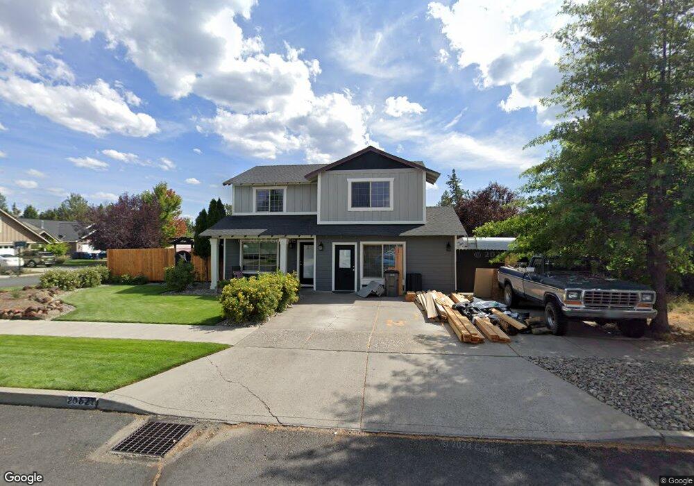
20527 Peak Ave Bend, OR 97702
Old Farm District NeighborhoodEstimated Value: $525,392 - $618,000
4
Beds
3
Baths
1,494
Sq Ft
$381/Sq Ft
Est. Value
About This Home
This home is located at 20527 Peak Ave, Bend, OR 97702 and is currently estimated at $568,848, approximately $380 per square foot. 20527 Peak Ave is a home located in Deschutes County with nearby schools including Silver Rail Elementary School, High Desert Middle School, and Bend Senior High School.
Ownership History
Date
Name
Owned For
Owner Type
Purchase Details
Closed on
Jul 9, 2004
Sold by
Foglio Homes & Development Inc
Bought by
Olson John and Olson Jennifer
Current Estimated Value
Home Financials for this Owner
Home Financials are based on the most recent Mortgage that was taken out on this home.
Original Mortgage
$138,960
Outstanding Balance
$69,065
Interest Rate
6.25%
Mortgage Type
Unknown
Estimated Equity
$499,783
Purchase Details
Closed on
Jun 29, 2004
Sold by
Foglio Homes & Development Inc
Bought by
Olson John and Olson Jennifer
Home Financials for this Owner
Home Financials are based on the most recent Mortgage that was taken out on this home.
Original Mortgage
$138,960
Outstanding Balance
$69,065
Interest Rate
6.25%
Mortgage Type
Unknown
Estimated Equity
$499,783
Create a Home Valuation Report for This Property
The Home Valuation Report is an in-depth analysis detailing your home's value as well as a comparison with similar homes in the area
Home Values in the Area
Average Home Value in this Area
Purchase History
| Date | Buyer | Sale Price | Title Company |
|---|---|---|---|
| Olson John | $173,700 | Amerititle | |
| Olson John | $173,700 | Amerititle |
Source: Public Records
Mortgage History
| Date | Status | Borrower | Loan Amount |
|---|---|---|---|
| Open | Olson John | $138,960 | |
| Closed | Olson John | $138,960 | |
| Closed | Olson John | $34,740 |
Source: Public Records
Tax History
| Year | Tax Paid | Tax Assessment Tax Assessment Total Assessment is a certain percentage of the fair market value that is determined by local assessors to be the total taxable value of land and additions on the property. | Land | Improvement |
|---|---|---|---|---|
| 2025 | $3,700 | $219,000 | -- | -- |
| 2024 | $3,560 | $212,630 | -- | -- |
| 2023 | $3,300 | $206,440 | $0 | $0 |
| 2022 | $3,079 | $194,600 | $0 | $0 |
| 2021 | $3,084 | $188,940 | $0 | $0 |
| 2020 | $2,926 | $188,940 | $0 | $0 |
| 2019 | $2,844 | $183,440 | $0 | $0 |
| 2018 | $2,764 | $178,100 | $0 | $0 |
| 2017 | $2,683 | $172,920 | $0 | $0 |
| 2016 | $2,559 | $167,890 | $0 | $0 |
| 2015 | $2,488 | $163,000 | $0 | $0 |
| 2014 | $2,415 | $158,260 | $0 | $0 |
Source: Public Records
Map
Nearby Homes
- 61346 Whitetail St
- 20609 SE Gemstone Ave Unit 131
- 61407 Kobe St
- 61429 SE Daybreak Ct Unit Lot 7
- 61425 SE Daybreak Ct Unit Lot 6
- 61441 SE Daybreak Ct Unit Lot 10
- 61437 SE Daybreak Ct Unit Lot 9
- 61433 SE Daybreak Ct Unit Lot 8
- 20608 Rolen Ave
- 61405 SE Daybreak Ct
- 61409 SE Daybreak Ct Unit Lot 2
- 20580 Klahani Dr
- 20594 SE Slate Ave
- 20606 SE Slate Ave
- 20599 Kira Dr Unit 382
- 20600 Kira Dr Unit 362
- 20632 Kira Dr
- 20560 Kira Dr Unit 371
- 20634 Hummingbird Ln
- 20657 Couples Ln
- 20528 Dylan Loop
- 20523 Peak Ave
- 20526 Peak Ave
- 20522 Peak Ave
- 20524 Dylan Loop
- 20553 Dylan Loop
- 20549 Dylan Loop
- 20519 Peak Ave
- 20557 Dylan Loop
- 20518 Peak Ave
- 20520 Dylan Loop
- 20545 Dylan Loop
- 61382 Peak Ave
- 61370 Peak Ave
- 20564 Dylan Loop
- 20561 Dylan Loop
- 20584 Dylan Loop
- 20514 Peak Ave
- 20529 Dylan Loop
- 20525 Dylan Loop
Your Personal Tour Guide
Ask me questions while you tour the home.