2053 Lowell Ave Mays Landing, NJ 08330
Estimated Value: $410,504 - $515,000
--
Bed
--
Bath
1,877
Sq Ft
$241/Sq Ft
Est. Value
About This Home
This home is located at 2053 Lowell Ave, Mays Landing, NJ 08330 and is currently estimated at $453,126, approximately $241 per square foot. 2053 Lowell Ave is a home located in Atlantic County with nearby schools including George L. Hess Educational Complex, Joseph Shaner School, and William Davies Middle School.
Ownership History
Date
Name
Owned For
Owner Type
Purchase Details
Closed on
May 11, 1993
Sold by
Bracey James T
Bought by
Delvalle Ernesto
Current Estimated Value
Purchase Details
Closed on
May 17, 1991
Sold by
Bracey James T
Bought by
Hamilton Nj Township Of
Purchase Details
Closed on
Sep 30, 1988
Sold by
Bracey Victoria P
Bought by
Bracey James T
Create a Home Valuation Report for This Property
The Home Valuation Report is an in-depth analysis detailing your home's value as well as a comparison with similar homes in the area
Home Values in the Area
Average Home Value in this Area
Purchase History
| Date | Buyer | Sale Price | Title Company |
|---|---|---|---|
| Delvalle Ernesto | $145,000 | -- | |
| Hamilton Nj Township Of | -- | -- | |
| Bracey James T | $11,000 | -- |
Source: Public Records
Tax History Compared to Growth
Tax History
| Year | Tax Paid | Tax Assessment Tax Assessment Total Assessment is a certain percentage of the fair market value that is determined by local assessors to be the total taxable value of land and additions on the property. | Land | Improvement |
|---|---|---|---|---|
| 2025 | $8,241 | $240,200 | $47,800 | $192,400 |
| 2024 | $8,241 | $240,200 | $47,800 | $192,400 |
| 2023 | $7,749 | $240,200 | $47,800 | $192,400 |
| 2022 | $7,749 | $240,200 | $47,800 | $192,400 |
| 2021 | $7,732 | $240,200 | $47,800 | $192,400 |
| 2020 | $7,732 | $240,200 | $47,800 | $192,400 |
| 2019 | $7,751 | $240,200 | $47,800 | $192,400 |
| 2018 | $7,480 | $240,200 | $47,800 | $192,400 |
| 2017 | $7,362 | $240,200 | $47,800 | $192,400 |
| 2016 | $7,156 | $240,200 | $47,800 | $192,400 |
| 2015 | $6,913 | $240,200 | $47,800 | $192,400 |
| 2014 | $6,775 | $257,900 | $54,200 | $203,700 |
Source: Public Records
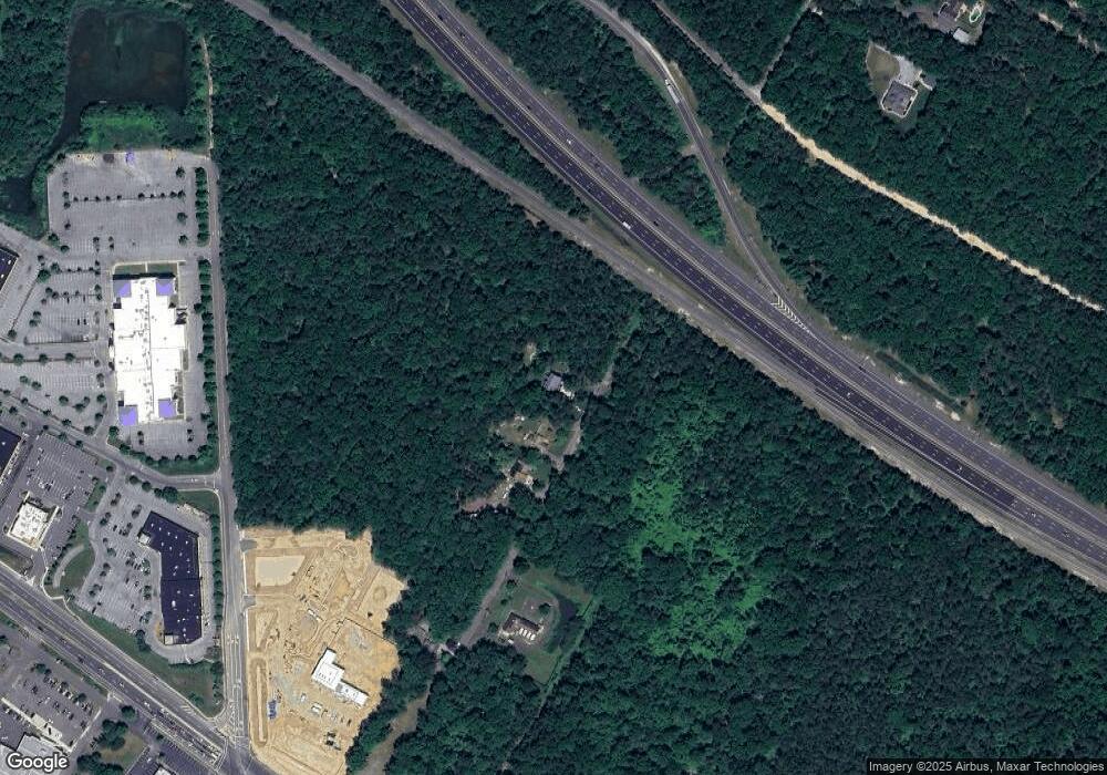
Map
Nearby Homes
- 4127 Black Horse Pike
- 7 Golf Dr
- 124 Amherst Dr
- 20 Monet Dr
- 66 Monet Dr
- 2580 Wrangleboro Rd
- 16 Rue Chagall
- 94 Baltusrol Dr
- 78 Oakmont Dr
- 2619 Boulder Ct
- 8 Rembrandt Way
- 2619 Durango Ct Unit 910
- 7 Renaissance Dr
- 2425 Lahn Ln
- 26 Baltusrol Dr
- 712 Scarborough Dr
- 24 Ravenwood Dr
- 182 Pebble Beach Dr
- 197 Pebble Beach Dr
- 277 Greenbriar Ct
- 2045 Lowell Ave
- 2052 Mckee Ave
- 0 Lowell Ave
- 2025 Lowell Ave
- 4173 Black Horse Pike
- 0 Mays Landing Rd
- 4155 Pearce Rd
- 4215 Black Horse Pike
- 2510 Long Ave
- 4165 E Black Horse Pike
- 4165 Black Horse Pike
- 2083 Delilah Rd
- 2530 Long Ave
- 2520 Long Ave
- 1976 Mckee Ave
- 4050 Pearce Rd
- 4131 Pearce Rd
- 1967 Mckee Ave
- 4120 Black Horse Pike
- 2540 Long Ave