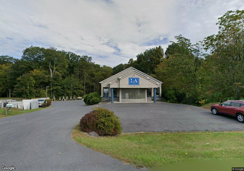
2053 Route 209 Brodheadsville, PA 18322
Estimated Value: $580,052
--
Bed
1
Bath
5,733
Sq Ft
$101/Sq Ft
Est. Value
About This Home
This home is located at 2053 Route 209, Brodheadsville, PA 18322 and is currently estimated at $580,052, approximately $101 per square foot. 2053 Route 209 is a home located in Monroe County with nearby schools including Pleasant Valley Elementary School, Pleasant Valley Intermediate School, and Pleasant Valley Middle School.
Ownership History
Date
Name
Owned For
Owner Type
Purchase Details
Closed on
Oct 4, 2022
Sold by
Debenedetto Donna M
Bought by
Gutowski Artur and Gutowski Ewa J
Current Estimated Value
Home Financials for this Owner
Home Financials are based on the most recent Mortgage that was taken out on this home.
Original Mortgage
$250,000
Outstanding Balance
$239,727
Interest Rate
5.55%
Mortgage Type
Credit Line Revolving
Estimated Equity
$340,325
Purchase Details
Closed on
Dec 29, 1992
Bought by
Debenedetto Donna M
Create a Home Valuation Report for This Property
The Home Valuation Report is an in-depth analysis detailing your home's value as well as a comparison with similar homes in the area
Home Values in the Area
Average Home Value in this Area
Purchase History
| Date | Buyer | Sale Price | Title Company |
|---|---|---|---|
| Gutowski Artur | $500,000 | -- | |
| Debenedetto Donna M | -- | -- |
Source: Public Records
Mortgage History
| Date | Status | Borrower | Loan Amount |
|---|---|---|---|
| Open | Gutowski Artur | $250,000 |
Source: Public Records
Tax History Compared to Growth
Tax History
| Year | Tax Paid | Tax Assessment Tax Assessment Total Assessment is a certain percentage of the fair market value that is determined by local assessors to be the total taxable value of land and additions on the property. | Land | Improvement |
|---|---|---|---|---|
| 2025 | $2,565 | $315,270 | $103,600 | $211,670 |
| 2024 | $2,093 | $315,270 | $103,600 | $211,670 |
| 2023 | $9,547 | $315,270 | $103,600 | $211,670 |
| 2022 | $9,288 | $315,270 | $103,600 | $211,670 |
| 2021 | $8,852 | $315,270 | $103,600 | $211,670 |
| 2020 | $9,127 | $315,270 | $103,600 | $211,670 |
| 2019 | $7,011 | $39,330 | $6,260 | $33,070 |
| 2018 | $6,932 | $39,330 | $6,260 | $33,070 |
| 2017 | $6,852 | $39,330 | $6,260 | $33,070 |
| 2016 | $1,089 | $39,330 | $6,260 | $33,070 |
| 2015 | -- | $39,330 | $6,260 | $33,070 |
| 2014 | -- | $39,330 | $6,260 | $33,070 |
Source: Public Records
Map
Nearby Homes
- 103 Silver Valley Rd
- 1297 Woodstock Dr
- 218 Evergreen Ct
- 300 Silver Valley Rd
- 423 Cottontail Ln
- 197 Koehler Rd
- 2116 James Way
- 232 Rodenbach Ln
- 1073 Meixsell Valley Rd
- 219 Robins Ct
- 1762 United States Route 209
- 521 Greenview Dr
- 1652 Bonser Rd
- 217 Pearson (Lot 2) Ln
- 217 Ln
- 44 Regency Ln
- 529 Pine Ridge Rd
- 1547 Weir Creek Dr
- 648 Marion Ln
- 558 Effort Neola Rd
- RTE209 Route 209
- 306 Village Edge Rd
- 306 Village Edge Dr
- 2069 U S 209
- 2071 U S 209
- 2071 Route 209
- 0 1 Unit 634720
- 2073 U S 209
- 2035 Route 209
- 312 Village Edge Dr
- 317 Village Edge Rd
- 317 Village Edge Dr
- 319 Village Edge Dr
- 3 Village Edge Ct
- 321 Village Edge Dr
- 2034 Route 209
- 320 Village Edge Rd
- 250 Azalea Rd
- 306 Village Edge Rd
- 633 Village Edge Rd