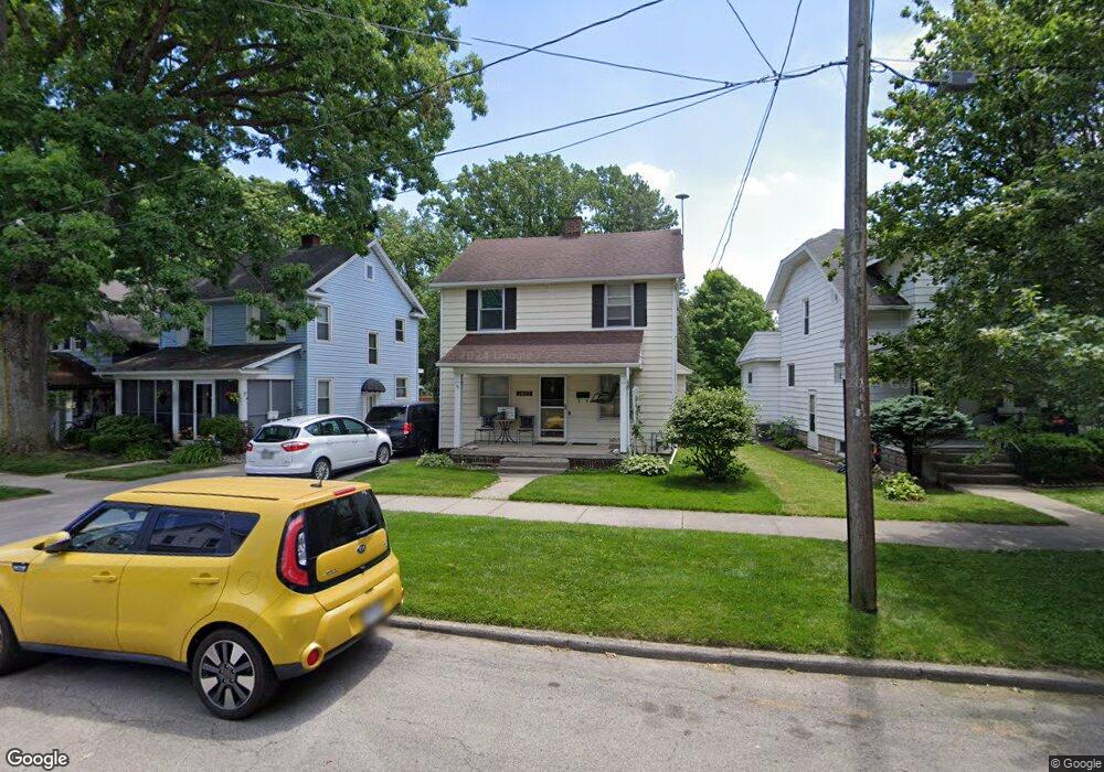
2053 S Kennison Dr Toledo, OH 43609
Glendale-Heatherdowns NeighborhoodEstimated Value: $108,000 - $149,000
3
Beds
2
Baths
1,447
Sq Ft
$86/Sq Ft
Est. Value
About This Home
This home is located at 2053 S Kennison Dr, Toledo, OH 43609 and is currently estimated at $124,050, approximately $85 per square foot. 2053 S Kennison Dr is a home located in Lucas County with nearby schools including Harvard Elementary School, Bowsher High School, and Explorers Academy of Science and Technology.
Ownership History
Date
Name
Owned For
Owner Type
Purchase Details
Closed on
Feb 16, 1995
Sold by
Meade Kevin E
Bought by
Newhouse Todd D and Newhouse Jennifer A
Current Estimated Value
Home Financials for this Owner
Home Financials are based on the most recent Mortgage that was taken out on this home.
Original Mortgage
$72,137
Interest Rate
9.26%
Mortgage Type
New Conventional
Create a Home Valuation Report for This Property
The Home Valuation Report is an in-depth analysis detailing your home's value as well as a comparison with similar homes in the area
Home Values in the Area
Average Home Value in this Area
Purchase History
| Date | Buyer | Sale Price | Title Company |
|---|---|---|---|
| Newhouse Todd D | $72,500 | -- |
Source: Public Records
Mortgage History
| Date | Status | Borrower | Loan Amount |
|---|---|---|---|
| Closed | Newhouse Todd D | $72,137 |
Source: Public Records
Tax History Compared to Growth
Tax History
| Year | Tax Paid | Tax Assessment Tax Assessment Total Assessment is a certain percentage of the fair market value that is determined by local assessors to be the total taxable value of land and additions on the property. | Land | Improvement |
|---|---|---|---|---|
| 2024 | $938 | $30,730 | $5,915 | $24,815 |
| 2023 | $1,521 | $23,625 | $4,900 | $18,725 |
| 2022 | $1,526 | $23,625 | $4,900 | $18,725 |
| 2021 | $1,564 | $23,625 | $4,900 | $18,725 |
| 2020 | $1,503 | $19,985 | $4,130 | $15,855 |
| 2019 | $1,461 | $19,985 | $4,130 | $15,855 |
| 2018 | $1,479 | $19,985 | $4,130 | $15,855 |
| 2017 | $1,504 | $19,530 | $4,025 | $15,505 |
| 2016 | $1,504 | $55,800 | $11,500 | $44,300 |
| 2015 | $1,490 | $55,800 | $11,500 | $44,300 |
| 2014 | $1,229 | $19,540 | $4,030 | $15,510 |
| 2013 | $1,229 | $19,540 | $4,030 | $15,510 |
Source: Public Records
Map
Nearby Homes
- 885 National Ave
- 940 Francis Ave
- 859 Wright Ave
- 1011 National Ave
- 705 Wright Ave
- 649 Wright Ave
- 531 Shasta Dr
- 909 Woodsdale Ave
- 835 Toronto Ave
- 1043 Atlantic Ave
- 1016 Woodsdale Ave
- 556 Apple Ave
- 440 Somerset St
- 2126 Airport Hwy
- 1455 & 1457 Ingomar Ave
- 731 Geneva Ave
- 512 Woodsdale Ave
- 713 Geneva Ave
- 1777 South Ave
- 804 Hampton Ave
- 2049 S Kennison Dr
- 2057 S Kennison Dr
- 2045 S Kennison Dr
- 2041 S Kennison Dr
- 2061 S Kennison Dr
- 2069 S Kennison Dr
- 2033 S Kennison Dr
- 838 Wylie Ave
- 2075 S Kennison Dr
- 2056 S Kennison Dr
- 840 Wylie Ave
- 2054 S Kennison Dr
- 2060 S Kennison Dr
- 2050 S Kennison Dr
- 2064 S Kennison Dr
- 2048 S Kennison Dr
- 2066 S Kennison Dr
- 2079 S Kennison Dr
- 2044 S Kennison Dr
- 842 Wylie Ave