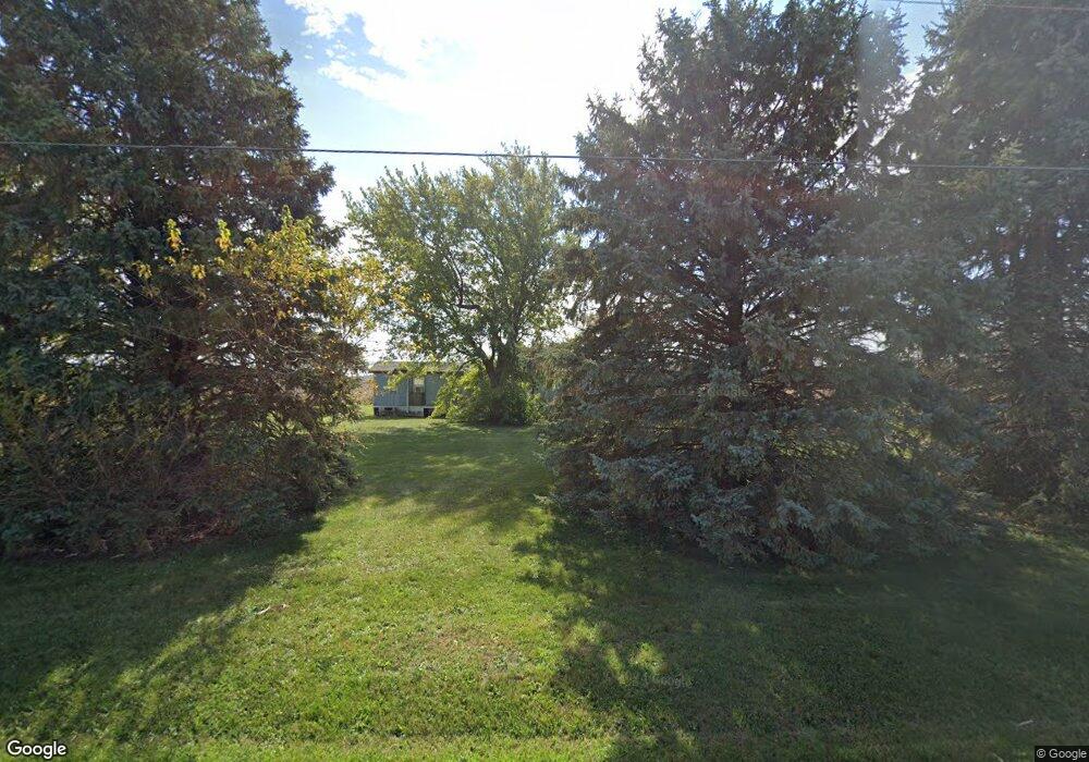
20534 Clay Rd Wapakoneta, OH 45895
Estimated Value: $72,680 - $142,000
--
Bed
--
Bath
--
Sq Ft
1.1
Acres
About This Home
This home is located at 20534 Clay Rd, Wapakoneta, OH 45895 and is currently estimated at $99,227. 20534 Clay Rd is a home located in Auglaize County with nearby schools including Wapakoneta Elementary School, Wapakoneta High School, and Wapakoneta Middle School.
Ownership History
Date
Name
Owned For
Owner Type
Purchase Details
Closed on
Jun 16, 2010
Sold by
Metz Ralph W and Metz Linda R
Bought by
Wright Ralph W and Wright Delinda
Current Estimated Value
Purchase Details
Closed on
Oct 24, 2000
Sold by
Kantner Jean M
Bought by
Kantner Jean M Trustee
Purchase Details
Closed on
May 25, 2000
Bought by
Kantner Jean M
Purchase Details
Closed on
Jun 5, 1992
Sold by
Badertscher Robert
Bought by
Kantner Norman L
Purchase Details
Closed on
Sep 1, 1986
Purchase Details
Closed on
Sep 1, 1985
Create a Home Valuation Report for This Property
The Home Valuation Report is an in-depth analysis detailing your home's value as well as a comparison with similar homes in the area
Home Values in the Area
Average Home Value in this Area
Purchase History
| Date | Buyer | Sale Price | Title Company |
|---|---|---|---|
| Wright Ralph W | $17,500 | Attorney | |
| Kantner Jean M Trustee | -- | -- | |
| Kantner Jean M | -- | -- | |
| Kantner Norman L | $10,000 | -- | |
| -- | $10,000 | -- | |
| -- | $17,000 | -- |
Source: Public Records
Tax History Compared to Growth
Tax History
| Year | Tax Paid | Tax Assessment Tax Assessment Total Assessment is a certain percentage of the fair market value that is determined by local assessors to be the total taxable value of land and additions on the property. | Land | Improvement |
|---|---|---|---|---|
| 2024 | $491 | $9,600 | $9,330 | $270 |
| 2023 | $350 | $9,600 | $9,330 | $270 |
| 2022 | $321 | $8,020 | $7,470 | $550 |
| 2021 | $318 | $8,020 | $7,470 | $550 |
| 2020 | $319 | $8,016 | $7,466 | $550 |
| 2019 | $273 | $6,731 | $6,272 | $459 |
| 2018 | $272 | $6,731 | $6,272 | $459 |
| 2017 | $271 | $6,731 | $6,272 | $459 |
| 2016 | $261 | $6,539 | $5,975 | $564 |
| 2015 | $142 | $6,539 | $5,975 | $564 |
| 2014 | $263 | $6,539 | $5,975 | $564 |
| 2013 | $148 | $6,539 | $5,975 | $564 |
Source: Public Records
Map
Nearby Homes
- 12574 Kuenstle Rd
- 20382 Clay Rd
- 20548 Clay Rd
- 20986 Clay Rd
- 21047 Clay Rd
- 12257 Kuenstle Rd
- 12600 State Route 65
- 21325 Clay Rd
- 11997 Ohio 65
- 11997 State Route 65
- 12218 State Route 65
- 12778 State Route 65
- 11802 Kuenstle Rd
- 11942 State Route 65
- 12358 Geyer Rd
- 11774 Kuenstle Rd
- 21521 Clay Rd
- 11736 Kuenstle Rd
- 11866 State Route 65