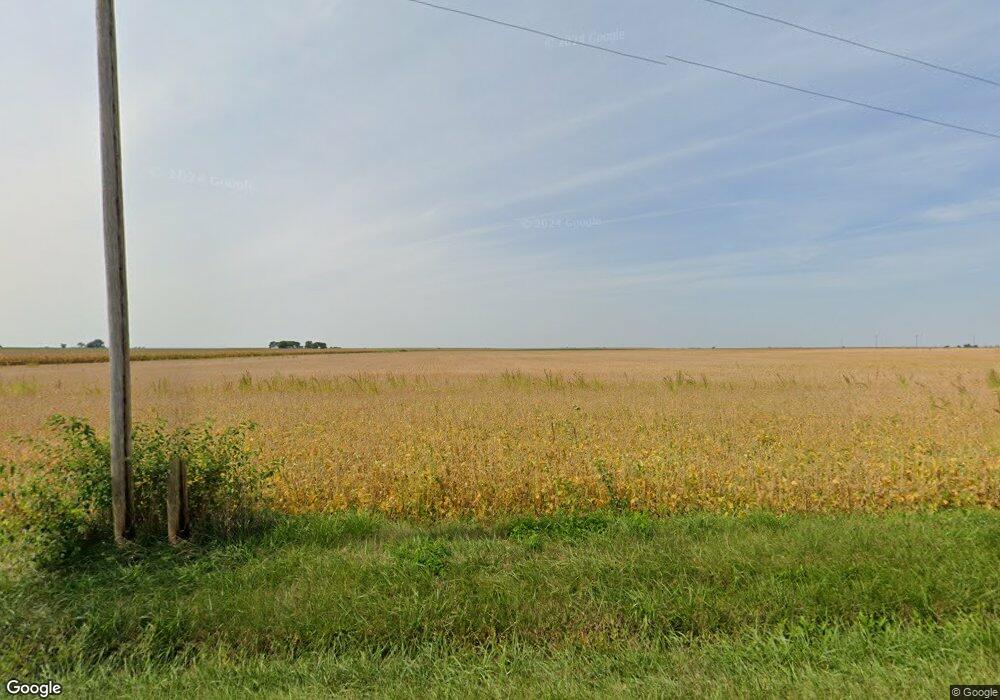
2054 Cr 1800e Arthur, IL 61911
Estimated Value: $337,000
5
Beds
2
Baths
3,376
Sq Ft
$100/Sq Ft
Est. Value
About This Home
This home is located at 2054 Cr 1800e, Arthur, IL 61911 and is currently priced at $337,000, approximately $99 per square foot. 2054 Cr 1800e is a home located in Moultrie County with nearby schools including Arthur Grade School, Arthur Lovington Atwood Hammond High School, and Northside School.
Ownership History
Date
Name
Owned For
Owner Type
Purchase Details
Closed on
Dec 8, 2023
Sold by
Morton Community Bank
Bought by
Haven Of Care Inc
Current Estimated Value
Purchase Details
Closed on
Jan 23, 2020
Sold by
Helmurth Joanna V
Bought by
Morton Community Bank
Purchase Details
Closed on
Feb 10, 2017
Sold by
State Bank Of Arthur
Bought by
Helmuth Andrew O and Helmuth Joanna V
Purchase Details
Closed on
Apr 19, 2013
Sold by
Yoder Lonnie F
Bought by
Yoder Lonnie F and Yoder Martha D
Create a Home Valuation Report for This Property
The Home Valuation Report is an in-depth analysis detailing your home's value as well as a comparison with similar homes in the area
Home Values in the Area
Average Home Value in this Area
Purchase History
| Date | Buyer | Sale Price | Title Company |
|---|---|---|---|
| Haven Of Care Inc | -- | None Listed On Document | |
| Morton Community Bank | $76,000 | None Listed On Document | |
| Morton Community Bank | -- | None Available | |
| Helmuth Andrew O | -- | -- | |
| Yoder Lonnie F | -- | None Available |
Source: Public Records
Tax History Compared to Growth
Tax History
| Year | Tax Paid | Tax Assessment Tax Assessment Total Assessment is a certain percentage of the fair market value that is determined by local assessors to be the total taxable value of land and additions on the property. | Land | Improvement |
|---|---|---|---|---|
| 2022 | $6,290 | $101,749 | $9,094 | $92,655 |
| 2021 | $6,302 | $97,434 | $8,617 | $88,817 |
| 2020 | $5,881 | $94,138 | $8,267 | $85,871 |
| 2019 | $5,779 | $91,219 | $6,599 | $84,620 |
| 2018 | $6,034 | $98,164 | $4,743 | $93,421 |
| 2017 | $6,216 | $97,758 | $4,638 | $93,120 |
| 2016 | $6,419 | $97,870 | $4,580 | $93,290 |
| 2015 | $6,349 | $96,705 | $4,435 | $92,270 |
| 2014 | -- | $101,573 | $4,743 | $96,830 |
| 2013 | -- | $101,486 | $4,656 | $96,830 |
Source: Public Records
Map
Nearby Homes
- 531 S Vine St
- 623 W Parkview Dr
- 530 S Union St
- 206 E Logan St
- 221 S Hickory St
- 411 Crestwood Dr
- 705 E Illinois St
- Lot 16 N Beech St
- Lot 17 N Beech St
- 101 Rhine Blvd
- 320 S Main St
- 219 S Missouri St
- 222 S Iowa St
- 210 N Kentucky St
- 3 Royal Ct
- 5 Royal Ct
- 2 Royal Ct
- 4 Royal Ct
- 209 N Iowa St
- 333 E Orchard Ave
