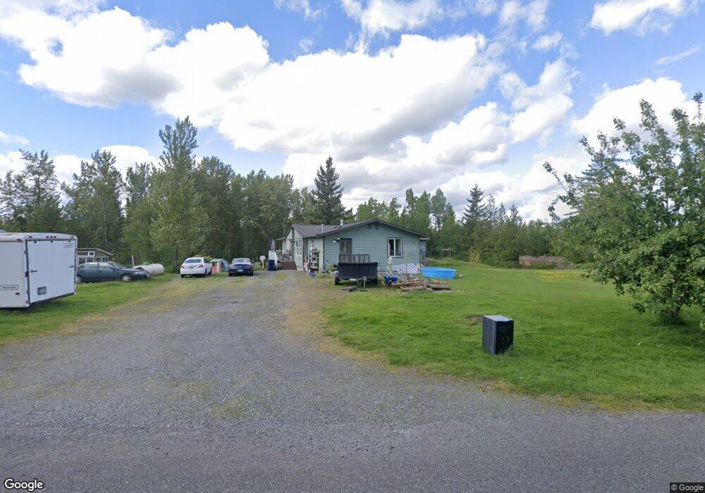
2054 Lindsay Rd Everson, WA 98247
Estimated Value: $844,000
4
Beds
2
Baths
2,368
Sq Ft
$356/Sq Ft
Est. Value
About This Home
This home is located at 2054 Lindsay Rd, Everson, WA 98247 and is currently estimated at $844,000, approximately $356 per square foot. 2054 Lindsay Rd is a home located in Whatcom County with nearby schools including Lynden High School.
Ownership History
Date
Name
Owned For
Owner Type
Purchase Details
Closed on
Aug 17, 2020
Sold by
Nieuwman Harries Edward and Nieuwman Jeanne Marie
Bought by
Revocable Liv Tr Of Harries Edward Nieus
Current Estimated Value
Create a Home Valuation Report for This Property
The Home Valuation Report is an in-depth analysis detailing your home's value as well as a comparison with similar homes in the area
Purchase History
We collect this data history from publicly available records. To have your information removed, we recommend requesting removal directly through your county’s website.
| Date | Buyer | Sale Price | Title Company |
|---|---|---|---|
| Revocable Liv Tr Of Harries Edward Nieus | -- | None Available |
Source: Public Records
Tax History
| Year | Tax Paid | Tax Assessment Tax Assessment Total Assessment is a certain percentage of the fair market value that is determined by local assessors to be the total taxable value of land and additions on the property. | Land | Improvement |
|---|---|---|---|---|
| 2025 | $523 | $640,672 | $278,688 | $361,984 |
| 2024 | $495 | $629,137 | $275,982 | $353,155 |
| 2023 | $495 | $471,873 | $73,216 | $398,657 |
| 2022 | $602 | $279,477 | $73,130 | $175,734 |
| 2021 | $644 | $279,477 | $73,130 | $175,734 |
| 2020 | $663 | $276,347 | $70,000 | $206,347 |
| 2019 | $690 | $279,381 | $73,034 | $206,347 |
| 2018 | $740 | $272,858 | $70,000 | $202,858 |
| 2017 | $758 | $241,232 | $30,000 | $211,232 |
| 2016 | $2,797 | $228,931 | $30,000 | $198,931 |
| 2015 | $2,396 | $228,931 | $30,000 | $198,931 |
| 2014 | -- | $213,885 | $32,703 | $181,182 |
| 2013 | -- | $208,458 | $32,724 | $175,734 |
Source: Public Records
Map
Nearby Homes
- 1915 Hampton Rd
- 1766 Hampton Rd
- 2165 E Badger Rd
- 2150 Lagerwey Cir
- 2105 Lagerwey Cir
- 2103 Lagerwey Cir
- 2268 Brome St
- 2120 Lagerwey Cir
- 2178 Lagerwey Cir
- 2180 Lagerwey Cir
- 2193 Lagerwey Cir
- 2068 Bowfin Way
- 8172 Van Buren Rd
- 2013 Brome St
- 2011 Woodsman Dr
- 1926 Junegrass Dr
- 2075 Bluestem St
- 1950 N Prairie Ln
- 1970 N Prairie Ln
- 1580 Foxtail St
- 2106 Lindsay Rd
- 2040 Lindsay Rd
- 0 21xx Lindsay Rd
- 8535 Oxford Ln
- 2096 Hampton Rd
- 8611 Oxford Hill Ln
- 8607 Oxford Hill Ln
- 8617 Oxford Hill Ln
- 8544 Oxford Hill Ln
- 2178 Hampton Rd
- 8603 Oxford Hill Ln
- 2102 Hampton Rd
- 0 Lindsay Rd
- 0 Lindsay Rd
- 0 Lindsay Rd Unit NWM1278429
- 8616 Oxford Hill Ln
- 2056 Hampton Rd
- 2272 Lindsay Rd
- 2192 Lindsay Rd
- 17 xx Hampton Rd
Your Personal Tour Guide
Ask me questions while you tour the home.