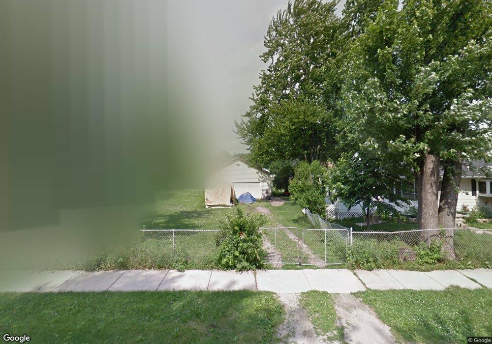
2054 Mcgregor Rd Ypsilanti, MI 48198
Estimated Value: $177,000 - $217,000
3
Beds
1
Bath
768
Sq Ft
$262/Sq Ft
Est. Value
About This Home
This home is located at 2054 Mcgregor Rd, Ypsilanti, MI 48198 and is currently estimated at $201,442, approximately $262 per square foot. 2054 Mcgregor Rd is a home located in Washtenaw County with nearby schools including Rawsonville Elementary School, Owen Intermediate School, and McBride Middle School.
Ownership History
Date
Name
Owned For
Owner Type
Purchase Details
Closed on
Feb 13, 2008
Sold by
Mortgage Electronic Registration Systems
Bought by
Hsbc Bank Usa Na and Certificateholders Of Mortgage Pass Thro
Current Estimated Value
Purchase Details
Closed on
Feb 7, 2008
Sold by
Kelly David E and Kelly Connie Ann
Bought by
Mortgage Electronic Registration Systems
Purchase Details
Closed on
Jun 29, 1995
Sold by
Branham R Jean
Bought by
Kelly David E and Kelly Connie Ann
Home Financials for this Owner
Home Financials are based on the most recent Mortgage that was taken out on this home.
Original Mortgage
$60,500
Interest Rate
7.9%
Mortgage Type
New Conventional
Create a Home Valuation Report for This Property
The Home Valuation Report is an in-depth analysis detailing your home's value as well as a comparison with similar homes in the area
Home Values in the Area
Average Home Value in this Area
Purchase History
| Date | Buyer | Sale Price | Title Company |
|---|---|---|---|
| Hsbc Bank Usa Na | -- | None Available | |
| Mortgage Electronic Registration Systems | $129,926 | None Available | |
| Kelly David E | $64,800 | -- |
Source: Public Records
Mortgage History
| Date | Status | Borrower | Loan Amount |
|---|---|---|---|
| Previous Owner | Kelly David E | $60,500 |
Source: Public Records
Tax History Compared to Growth
Tax History
| Year | Tax Paid | Tax Assessment Tax Assessment Total Assessment is a certain percentage of the fair market value that is determined by local assessors to be the total taxable value of land and additions on the property. | Land | Improvement |
|---|---|---|---|---|
| 2025 | -- | $106,200 | $0 | $0 |
| 2024 | -- | $94,900 | $0 | $0 |
| 2023 | $1,394 | $85,300 | $0 | $0 |
| 2022 | $1,394 | $76,900 | $0 | $0 |
| 2021 | $1,394 | $67,200 | $0 | $0 |
| 2020 | $1,394 | $56,200 | $0 | $0 |
| 2019 | $1,394 | $47,200 | $47,200 | $0 |
| 2018 | $1,464 | $41,000 | $0 | $0 |
| 2017 | $1,464 | $44,100 | $0 | $0 |
| 2016 | $751 | $32,507 | $0 | $0 |
| 2015 | $1,324 | $32,410 | $0 | $0 |
| 2014 | $1,324 | $40,700 | $0 | $0 |
| 2013 | -- | $40,700 | $0 | $0 |
Source: Public Records
Map
Nearby Homes
- 2168 Moeller Ave
- 2726 Brooklyn Dr
- 0 Rawsonville Rd Unit 23127000
- 1823 Cadillac Ave
- 1781 Cadillac Ave
- 1817 Cadillac Ave
- 2405 Rawsonville Rd
- 1818 Mccartney Ave
- 1920 S Pasadena Ave
- 6460 Rawsonville Rd
- 13157 Lake Point Blvd
- 2319 George Ave
- 2215 Harmon Ave
- 3208 Grove Rd
- 1336 Woodglen Ave
- 6151 Rawsonville Rd
- 9701 Harbour Cove Ct Unit 50
- 6191 Rawsonville Rd
- 6185 W Adams
- 50710 W Huron River Dr
- 2050 Mcgregor Rd
- 2070 Mcgregor Rd
- 2046 Mcgregor Rd
- 2071 Bomber Ave
- 2049 Bomber Ave
- 2074 Mcgregor Rd
- 2061 Mcgregor Rd
- 2036 Mcgregor Rd
- 2051 Mcgregor Rd
- 2065 Mcgregor Rd
- 2031 Bomber Ave
- 2085 Bomber Ave
- 2043 Mcgregor Rd
- 2090 Mcgregor Rd
- 2035 Mcgregor Rd
- 2087 Mcgregor Rd
- 2099 Bomber Ave
- 2031 Mcgregor Rd
- 2050 Bomber Ave
- 2068 Bomber Ave