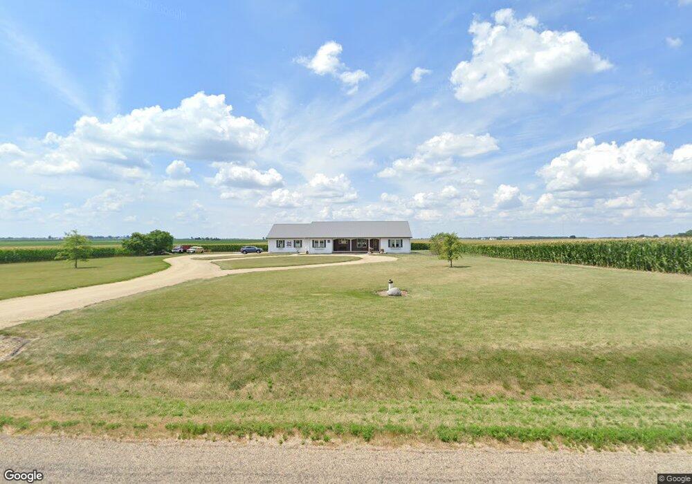
20547 Roth Rd Morton, IL 61550
Estimated Value: $357,000 - $479,000
4
Beds
3
Baths
2,551
Sq Ft
$159/Sq Ft
Est. Value
About This Home
This home is located at 20547 Roth Rd, Morton, IL 61550 and is currently estimated at $405,923, approximately $159 per square foot. 20547 Roth Rd is a home located in Tazewell County with nearby schools including Morton High School and Blessed Sacrament School.
Ownership History
Date
Name
Owned For
Owner Type
Purchase Details
Closed on
Nov 13, 2015
Sold by
Mooberry Dale Lawrence
Bought by
Mooberry Dale L and Mooberry Julie A
Current Estimated Value
Home Financials for this Owner
Home Financials are based on the most recent Mortgage that was taken out on this home.
Original Mortgage
$288,250
Outstanding Balance
$227,413
Interest Rate
3.88%
Mortgage Type
New Conventional
Estimated Equity
$178,510
Purchase Details
Closed on
Mar 25, 2006
Sold by
Mooberry Buford Lee and Mooberry Wilda Joyce
Bought by
Mooberry Dale Lawrence
Create a Home Valuation Report for This Property
The Home Valuation Report is an in-depth analysis detailing your home's value as well as a comparison with similar homes in the area
Home Values in the Area
Average Home Value in this Area
Purchase History
| Date | Buyer | Sale Price | Title Company |
|---|---|---|---|
| Mooberry Dale L | -- | Hometown Title | |
| Mooberry Dale Lawrence | -- | None Available |
Source: Public Records
Mortgage History
| Date | Status | Borrower | Loan Amount |
|---|---|---|---|
| Open | Mooberry Dale L | $288,250 |
Source: Public Records
Tax History Compared to Growth
Tax History
| Year | Tax Paid | Tax Assessment Tax Assessment Total Assessment is a certain percentage of the fair market value that is determined by local assessors to be the total taxable value of land and additions on the property. | Land | Improvement |
|---|---|---|---|---|
| 2024 | $5,641 | $95,700 | $7,550 | $88,150 |
| 2023 | $5,641 | $87,860 | $6,930 | $80,930 |
| 2022 | $5,452 | $81,270 | $6,410 | $74,860 |
| 2021 | $5,220 | $78,140 | $6,160 | $71,980 |
| 2020 | $5,103 | $78,140 | $6,160 | $71,980 |
| 2019 | $5,095 | $78,140 | $6,160 | $71,980 |
| 2018 | $5,002 | $78,140 | $6,160 | $71,980 |
| 2017 | $4,873 | $77,370 | $6,100 | $71,270 |
| 2016 | $4,822 | $77,370 | $6,100 | $71,270 |
| 2015 | $5,059 | $0 | $0 | $0 |
| 2013 | $5,011 | $75,610 | $4,790 | $70,820 |
Source: Public Records
Map
Nearby Homes
- 112 Hemlock Dr
- 101 Cottonwood Dr Unit 101Cot
- 109 Mulberry Dr Unit 109Mul
- 111 Willow Oak Dr Unit 111Wil
- 121 Jay Ave
- 110 White Oak Dr Unit 110Whi
- 116 E Sassafras Dr Unit 116Sas
- 120 Lakewood Ave
- 101 Patricia Ave
- 1224 Autumn Ridge Ct
- 26 Linden Ct
- 614 Thornridge Dr
- 45 Fox Creek Ct
- 19478 Springfield Rd
- 406 Shady Knolls Dr
- 101 Amelia Dr
- 104 Amelia Dr
- 600 S Columbus Ave
- 26 Jasper Ct
- 108 Amelia Dr
- 20715 Roth Rd
- 20263 Roth Rd
- 20360 Roth Rd
- 20874 Roth Rd
- 20043 Roth Rd
- 0 E Muller Rd
- 1800 W Jefferson St
- 2514 E Muller Rd
- 1811 W Jefferson St
- 814 S Pleasant Hill Rd
- 812 S Pleasant Hill Rd
- 115 Aspen Dr
- 115 Aspen Dr
- 106 Aspen Dr
- 106 Aspen Dr
- 114 Aspen Dr
- 110 Aspen Dr
- 108 Aspen Dr
- 106 Aspen Dr
- 117 Buckeye Dr Unit 117buc