20548 Clay Rd Wapakoneta, OH 45895
Estimated Value: $196,908 - $304,000
3
Beds
1
Bath
1,617
Sq Ft
$154/Sq Ft
Est. Value
About This Home
This home is located at 20548 Clay Rd, Wapakoneta, OH 45895 and is currently estimated at $249,227, approximately $154 per square foot. 20548 Clay Rd is a home located in Auglaize County with nearby schools including Wapakoneta Elementary School, Wapakoneta High School, and Wapakoneta Middle School.
Ownership History
Date
Name
Owned For
Owner Type
Purchase Details
Closed on
Jan 24, 2008
Sold by
Baker Daniel L and Knerr Scott D
Bought by
Baker Daniel L and Knerr Scott D
Current Estimated Value
Purchase Details
Closed on
Mar 7, 1996
Bought by
Adk Partnership
Purchase Details
Closed on
Feb 20, 1996
Sold by
Kinstle Marietta M
Bought by
Adk Partnership
Purchase Details
Closed on
Apr 24, 1995
Sold by
Kinstle Harold J
Bought by
Kinstle Marietta M
Create a Home Valuation Report for This Property
The Home Valuation Report is an in-depth analysis detailing your home's value as well as a comparison with similar homes in the area
Home Values in the Area
Average Home Value in this Area
Purchase History
| Date | Buyer | Sale Price | Title Company |
|---|---|---|---|
| Baker Daniel L | -- | Attorney | |
| Adk Partnership | -- | -- | |
| Adk Partnership | $120,000 | -- | |
| Kinstle Marietta M | -- | -- |
Source: Public Records
Tax History Compared to Growth
Tax History
| Year | Tax Paid | Tax Assessment Tax Assessment Total Assessment is a certain percentage of the fair market value that is determined by local assessors to be the total taxable value of land and additions on the property. | Land | Improvement |
|---|---|---|---|---|
| 2024 | $2,144 | $41,960 | $24,340 | $17,620 |
| 2023 | $1,462 | $41,960 | $24,340 | $17,620 |
| 2022 | $1,293 | $33,360 | $19,480 | $13,880 |
| 2021 | $1,242 | $33,360 | $19,480 | $13,880 |
| 2020 | $1,241 | $33,359 | $19,481 | $13,878 |
| 2019 | $1,080 | $28,029 | $16,370 | $11,659 |
| 2018 | $1,047 | $28,029 | $16,370 | $11,659 |
| 2017 | $1,047 | $28,029 | $16,370 | $11,659 |
| 2016 | $835 | $22,393 | $14,252 | $8,141 |
| 2015 | $830 | $22,393 | $14,252 | $8,141 |
| 2014 | $839 | $22,393 | $14,252 | $8,141 |
| 2013 | $766 | $19,660 | $11,519 | $8,141 |
Source: Public Records
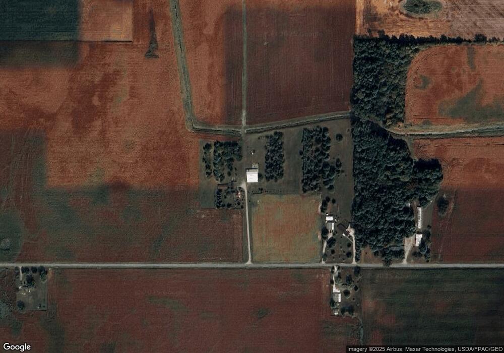
Map
Nearby Homes
- 20630 State Route 67
- 17 E Walnut St
- 37 N Main St
- 0 Ohio 67
- 25836 Ohio 67
- 202 W Mulberry St
- 105 Guthrie St
- 103 Redbud Cir
- 104 Village Pkwy
- 115 Village Pkwy
- 206 W Pike St
- 0 Ohio 274
- 215 Village Pkwy
- 406 E Pike St
- 406 James St
- 22275 Buckland Holden Rd
- 303 Hudson Dr
- 306 Hudson Dr
- 302 Hudson Dr
- 304 Hudson Dr
- 20986 Clay Rd
- 21047 Clay Rd
- 20534 Clay Rd
- 12574 Kuenstle Rd
- 12600 State Route 65
- 21325 Clay Rd
- 12778 State Route 65
- 20382 Clay Rd
- 12218 State Route 65
- 12257 Kuenstle Rd
- 11997 Ohio 65
- 11997 State Route 65
- 21521 Clay Rd
- 13194 State Route 65
- 13194 Ohio 65
- 11942 State Route 65
- 13269 State Route 65
- 11866 State Route 65
- 11802 Kuenstle Rd