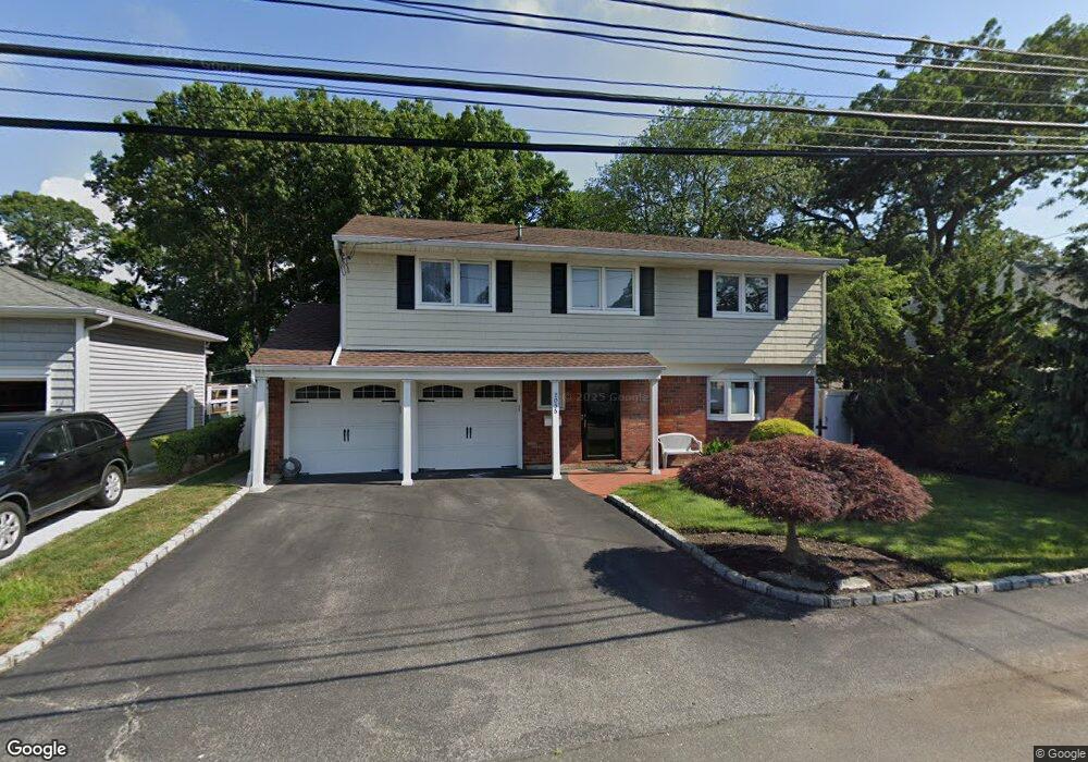
2055 Abbot Ave Merrick, NY 11566
Estimated Value: $931,000 - $967,651
4
Beds
3
Baths
2,007
Sq Ft
$473/Sq Ft
Est. Value
About This Home
This home is located at 2055 Abbot Ave, Merrick, NY 11566 and is currently estimated at $949,326, approximately $473 per square foot. 2055 Abbot Ave is a home located in Nassau County with nearby schools including Burcham Elementary School, Merrick Avenue Middle School, and Waynoka High School.
Ownership History
Date
Name
Owned For
Owner Type
Purchase Details
Closed on
Apr 14, 2021
Sold by
Lemonis Laurie
Bought by
Kroll Seth and Kroll Meredith
Current Estimated Value
Home Financials for this Owner
Home Financials are based on the most recent Mortgage that was taken out on this home.
Original Mortgage
$600,000
Outstanding Balance
$542,592
Interest Rate
3.1%
Mortgage Type
New Conventional
Estimated Equity
$406,734
Purchase Details
Closed on
Jan 14, 2014
Sold by
Lemonis Robert and Lemonis Laurie
Bought by
Lemonis Laurie
Create a Home Valuation Report for This Property
The Home Valuation Report is an in-depth analysis detailing your home's value as well as a comparison with similar homes in the area
Home Values in the Area
Average Home Value in this Area
Purchase History
| Date | Buyer | Sale Price | Title Company |
|---|---|---|---|
| Kroll Seth | $753,000 | None Available | |
| Lemonis Laurie | -- | -- |
Source: Public Records
Mortgage History
| Date | Status | Borrower | Loan Amount |
|---|---|---|---|
| Open | Kroll Seth | $600,000 |
Source: Public Records
Tax History Compared to Growth
Tax History
| Year | Tax Paid | Tax Assessment Tax Assessment Total Assessment is a certain percentage of the fair market value that is determined by local assessors to be the total taxable value of land and additions on the property. | Land | Improvement |
|---|---|---|---|---|
| 2025 | $15,986 | $552 | $192 | $360 |
| 2024 | $4,201 | $588 | $205 | $383 |
| 2023 | $14,299 | $603 | $210 | $393 |
| 2022 | $14,299 | $588 | $205 | $383 |
| 2021 | $15,002 | $568 | $183 | $385 |
| 2020 | $9,311 | $615 | $502 | $113 |
| 2019 | $3,216 | $659 | $504 | $155 |
| 2018 | $3,270 | $703 | $0 | $0 |
| 2017 | $6,916 | $747 | $508 | $239 |
| 2016 | $10,258 | $791 | $453 | $338 |
| 2015 | $3,448 | $835 | $478 | $357 |
| 2014 | $3,448 | $835 | $478 | $357 |
| 2013 | $3,623 | $939 | $538 | $401 |
Source: Public Records
Map
Nearby Homes
- 2005 Abbot Ave
- 1580 Little Whaleneck Rd
- 1680 Lake Ave
- 1531 Merrick Ave
- 12 Washington Dr
- 2 Garfield St
- 1617 Richard Ave
- 2207 Van Nostrand Ave
- 2271 Locust St
- 37 Orchard St
- 2282 Sycamore Place
- 1800 Remson Ave
- 2245 Van Nostrand Ave
- 1360 Powell Ave
- 526 Park Ave
- 1750 Henry Rd
- 1448 Dewey Ave
- 1734 Roberta Ln
- 2239 Henry St
- 70 Nancy Blvd