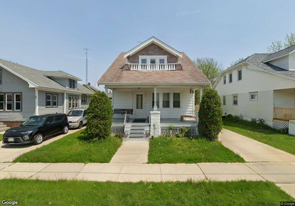
2055 Carter St Racine, WI 53402
The 13th Ward NeighborhoodEstimated Value: $159,000 - $194,000
--
Bed
--
Bath
1,406
Sq Ft
$126/Sq Ft
Est. Value
About This Home
This home is located at 2055 Carter St, Racine, WI 53402 and is currently estimated at $177,017, approximately $125 per square foot. 2055 Carter St is a home located in Racine County with nearby schools including Roosevelt Elementary School, Jerstad-Agerholm Middle School, and Horlick High School.
Ownership History
Date
Name
Owned For
Owner Type
Purchase Details
Closed on
May 16, 2012
Sold by
Cook Kathleen L and Proeber Linda E
Bought by
Htoo Et and Paw Sereh
Current Estimated Value
Home Financials for this Owner
Home Financials are based on the most recent Mortgage that was taken out on this home.
Original Mortgage
$55,000
Outstanding Balance
$38,142
Interest Rate
3.92%
Mortgage Type
New Conventional
Estimated Equity
$138,875
Purchase Details
Closed on
Aug 31, 2006
Sold by
Mcgrath Robert W
Bought by
Proeber Iinda E
Create a Home Valuation Report for This Property
The Home Valuation Report is an in-depth analysis detailing your home's value as well as a comparison with similar homes in the area
Home Values in the Area
Average Home Value in this Area
Purchase History
| Date | Buyer | Sale Price | Title Company |
|---|---|---|---|
| Htoo Et | $71,900 | None Available | |
| Proeber Iinda E | $95,000 | -- |
Source: Public Records
Mortgage History
| Date | Status | Borrower | Loan Amount |
|---|---|---|---|
| Open | Htoo Et | $55,000 |
Source: Public Records
Tax History Compared to Growth
Tax History
| Year | Tax Paid | Tax Assessment Tax Assessment Total Assessment is a certain percentage of the fair market value that is determined by local assessors to be the total taxable value of land and additions on the property. | Land | Improvement |
|---|---|---|---|---|
| 2024 | $2,911 | $128,000 | $15,000 | $113,000 |
| 2023 | $2,680 | $115,000 | $15,000 | $100,000 |
| 2022 | $2,485 | $105,000 | $15,000 | $90,000 |
| 2021 | $2,506 | $95,000 | $15,000 | $80,000 |
| 2020 | $2,527 | $95,000 | $15,000 | $80,000 |
| 2019 | $2,289 | $88,000 | $15,000 | $73,000 |
| 2018 | $2,186 | $75,000 | $15,000 | $60,000 |
| 2017 | $2,229 | $75,000 | $15,000 | $60,000 |
| 2016 | $2,150 | $71,000 | $15,000 | $56,000 |
| 2015 | $2,213 | $71,000 | $15,000 | $56,000 |
| 2014 | $2,213 | $71,000 | $15,000 | $56,000 |
| 2013 | $2,213 | $76,000 | $17,400 | $58,600 |
Source: Public Records
Map
Nearby Homes
- 1228 English St
- 1910 Lasalle St
- 1823 Marquette St
- 1626 Rapids Dr
- 1812 Green St
- 2123 Carlisle Ave
- 2326 Saint Clair St
- 2100 Carlisle Ave
- 1639 Douglas Ave
- 1700 Green St
- 1616 Dr Martin Luther King Dr
- 1715 Saint Clair St
- 901 William St
- 2818 Lasalle St
- 2009 Rapids Dr
- 2206 N Main St
- 1337 Kewaunee St
- 501 High St
- 1708 Shoop St
- 1419 Geneva St