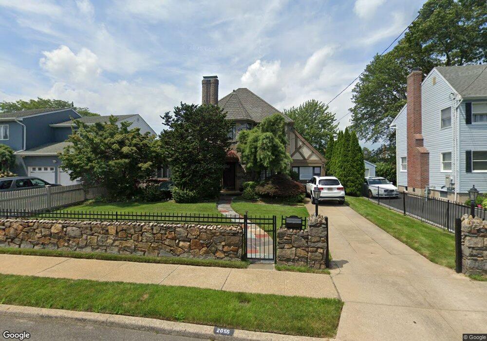
2055 Cornell Place Merrick, NY 11566
Estimated Value: $1,025,000 - $1,046,304
--
Bed
3
Baths
2,038
Sq Ft
$508/Sq Ft
Est. Value
About This Home
This home is located at 2055 Cornell Place, Merrick, NY 11566 and is currently estimated at $1,035,652, approximately $508 per square foot. 2055 Cornell Place is a home located in Nassau County with nearby schools including Burcham Elementary School, Merrick Avenue Middle School, and Waynoka High School.
Ownership History
Date
Name
Owned For
Owner Type
Purchase Details
Closed on
Mar 4, 2020
Sold by
Shaw Eric B and Shaw Brenda A
Bought by
Shaw Brenda A
Current Estimated Value
Purchase Details
Closed on
Dec 12, 2003
Sold by
Collica Paul
Bought by
Takos Jennifer
Purchase Details
Closed on
Jun 3, 1998
Purchase Details
Closed on
May 5, 1995
Sold by
Balboni Michael Ref and Longrich Investors Inc
Bought by
Longrich Investors Inc
Home Financials for this Owner
Home Financials are based on the most recent Mortgage that was taken out on this home.
Original Mortgage
$171,500
Interest Rate
7.89%
Create a Home Valuation Report for This Property
The Home Valuation Report is an in-depth analysis detailing your home's value as well as a comparison with similar homes in the area
Home Values in the Area
Average Home Value in this Area
Purchase History
| Date | Buyer | Sale Price | Title Company |
|---|---|---|---|
| Shaw Brenda A | -- | None Available | |
| Takos Jennifer | $629,000 | -- | |
| -- | -- | -- | |
| Longrich Investors Inc | $178,100 | -- |
Source: Public Records
Mortgage History
| Date | Status | Borrower | Loan Amount |
|---|---|---|---|
| Previous Owner | Longrich Investors Inc | $171,500 |
Source: Public Records
Tax History Compared to Growth
Tax History
| Year | Tax Paid | Tax Assessment Tax Assessment Total Assessment is a certain percentage of the fair market value that is determined by local assessors to be the total taxable value of land and additions on the property. | Land | Improvement |
|---|---|---|---|---|
| 2025 | $17,849 | $588 | $198 | $390 |
| 2024 | $3,774 | $560 | $189 | $371 |
| 2023 | $15,324 | $588 | $198 | $390 |
| 2022 | $15,324 | $588 | $198 | $390 |
| 2021 | $19,869 | $609 | $171 | $438 |
| 2020 | $14,666 | $971 | $648 | $323 |
| 2019 | $18,471 | $971 | $586 | $385 |
| 2018 | $15,863 | $1,073 | $0 | $0 |
| 2017 | $10,920 | $1,073 | $520 | $553 |
| 2016 | $15,512 | $1,136 | $551 | $585 |
| 2015 | $5,306 | $1,337 | $648 | $689 |
| 2014 | $5,306 | $1,337 | $648 | $689 |
| 2013 | $4,994 | $1,330 | $648 | $682 |
Source: Public Records
Map
Nearby Homes
- 217 Bayview Ave
- 163 Wynsum Ave
- 1360-1370 Merrick Rd
- 43 Wynsum Ave
- 44 Keeler Ave
- 1945 Byron Rd
- 72 Lake End Rd
- 174 Babylon Turnpike
- 1800 Carlisle Place
- 131 Gregory Ave
- 45 Henry St
- 1825 Alice St
- 110 Hampton Way
- 2203 Washington St
- 2147 Seneca Dr N
- 60 Montauk Ave
- 31 Alice St
- 1894 Commonwealth Ave
- 2729 Shore Dr
- 2770 Lincoln Blvd
- 2059 Cornell Place
- 2049 Cornell Place
- 14 Cornell Place
- 14 Cornell Place
- 2043 Cornell Place
- 2048 Cornell Place
- 2058 Kirkwood Ave
- 2052 Cornell Place
- 2058 Cornell Place
- 10 Cornell Place
- 2058 Kirkwood Ave
- 15 Cornell Place
- 2064 Kirkwood Ave
- 2042 Cornell Place
- 2064 Kirkwood Ave
- 9 Cornell Place
- 122 Hewlett Ave
- 116 Hewlett Ave
- 2037 Cornell Place
- 112 Hewlett Ave