2055 Fife Ridge Ct Roswell, GA 30075
Litchfield NeighborhoodEstimated Value: $967,000 - $1,241,000
4
Beds
3
Baths
4,899
Sq Ft
$224/Sq Ft
Est. Value
About This Home
This home is located at 2055 Fife Ridge Ct, Roswell, GA 30075 and is currently estimated at $1,095,904, approximately $223 per square foot. 2055 Fife Ridge Ct is a home located in Fulton County with nearby schools including Sweet Apple Elementary School, Elkins Pointe Middle School, and Fulton Academy of Science and Technology.
Ownership History
Date
Name
Owned For
Owner Type
Purchase Details
Closed on
Apr 30, 2024
Sold by
Fierro Debra M
Bought by
Fierro Debra Trust and Fierro Debra M Tr
Current Estimated Value
Purchase Details
Closed on
Apr 30, 2004
Sold by
Peachtree Residl Prop Llc
Bought by
Fierro Peter F and Fierro Debra
Home Financials for this Owner
Home Financials are based on the most recent Mortgage that was taken out on this home.
Original Mortgage
$333,700
Interest Rate
5.35%
Mortgage Type
New Conventional
Create a Home Valuation Report for This Property
The Home Valuation Report is an in-depth analysis detailing your home's value as well as a comparison with similar homes in the area
Home Values in the Area
Average Home Value in this Area
Purchase History
| Date | Buyer | Sale Price | Title Company |
|---|---|---|---|
| Fierro Debra Trust | -- | -- | |
| Fierro Peter F | $604,500 | -- |
Source: Public Records
Mortgage History
| Date | Status | Borrower | Loan Amount |
|---|---|---|---|
| Previous Owner | Fierro Peter F | $333,700 |
Source: Public Records
Tax History Compared to Growth
Tax History
| Year | Tax Paid | Tax Assessment Tax Assessment Total Assessment is a certain percentage of the fair market value that is determined by local assessors to be the total taxable value of land and additions on the property. | Land | Improvement |
|---|---|---|---|---|
| 2025 | $1,374 | $278,480 | $52,680 | $225,800 |
| 2023 | $1,374 | $277,640 | $52,680 | $224,960 |
| 2022 | $6,726 | $277,640 | $52,680 | $224,960 |
| 2021 | $7,950 | $282,480 | $52,080 | $230,400 |
| 2020 | $8,071 | $277,320 | $59,040 | $218,280 |
| 2019 | $1,255 | $272,440 | $58,000 | $214,440 |
| 2018 | $6,946 | $266,040 | $56,640 | $209,400 |
| 2017 | $6,686 | $242,080 | $60,920 | $181,160 |
| 2016 | $6,653 | $242,080 | $60,920 | $181,160 |
| 2015 | $7,998 | $242,080 | $60,920 | $181,160 |
| 2014 | $6,914 | $242,080 | $60,920 | $181,160 |
Source: Public Records
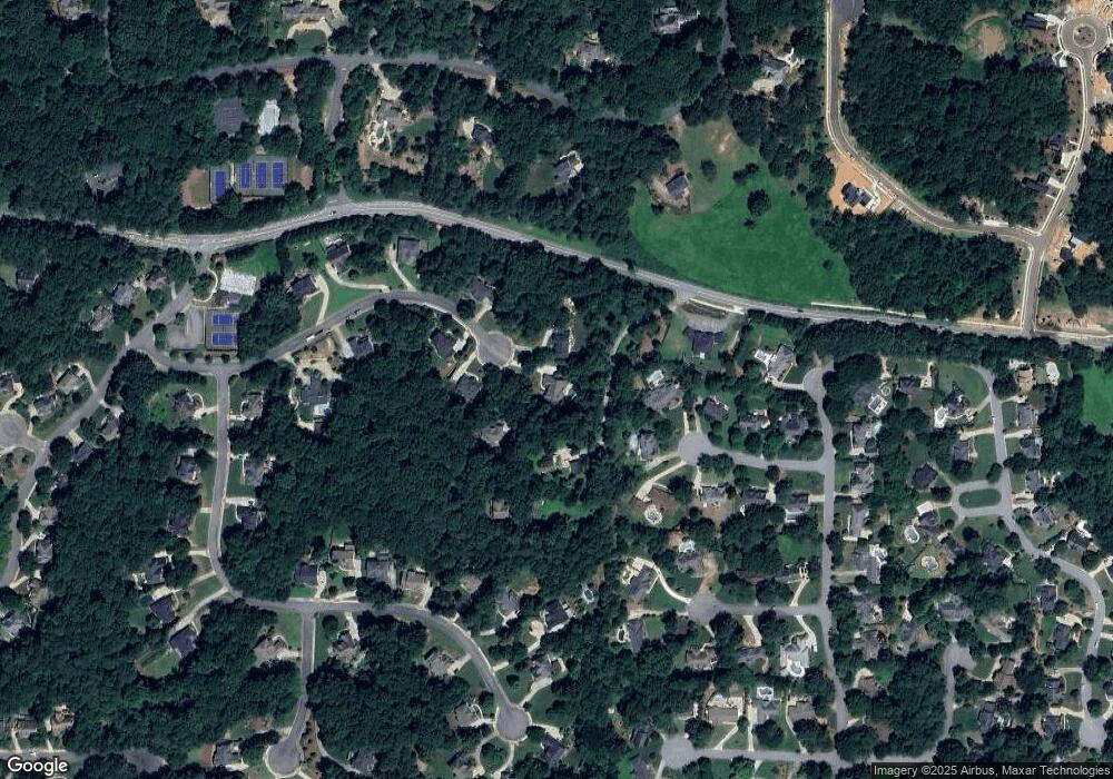
Map
Nearby Homes
- 120 Cedarwood Ln
- 140 Cedarwood Ln
- 4010 Rockingham Dr
- 150 Cedarwood Ln
- 235 Winterberry Way
- 130 Cedarwood Ln
- 180 Cedarwood Ln
- 160 Cedarwood Ln
- 5045 Rockingham Dr
- 12620 Old Surrey Place
- 110 Ansley Way
- 13585 Wood Fern Way
- 13565 Wood Fern Way
- 12555 Sibley Ln
- 140 E Lake Dr
- 915 Ebenezer Rd
- 1460 Lakemist Ct
- 130 W Lake Dr
- 12660 Ebenezer Pond Ct
- 1260 Cashiers Way
- 2045 Fife Ridge Ct
- 12597 Roper Rd
- 2060 Fife Ridge Ct
- 2050 Fife Ridge Ct
- 340 Silver Oaks Ct Unit 20
- 335 Silver Oaks Ct
- 2040 Fife Ridge Ct
- 2035 Fife Ridge Ct
- 12595 Roper Rd
- 0 Cox Rd Unit 52 7543691
- 0 Cox Rd Unit 10544730
- 0 Cox Rd Unit 7596297
- 0 Cox Rd Unit 10541681
- 0 Cox Rd Unit 7596303
- 0 Cox Rd Unit 7045335
- 0 Cox Rd Unit 8735931
- 0 Cox Rd Unit 7400839
- 0 Cox Rd Unit 3081481
- 0 Cox Rd Unit 9048114
- 0 Cox Rd Unit 9026121