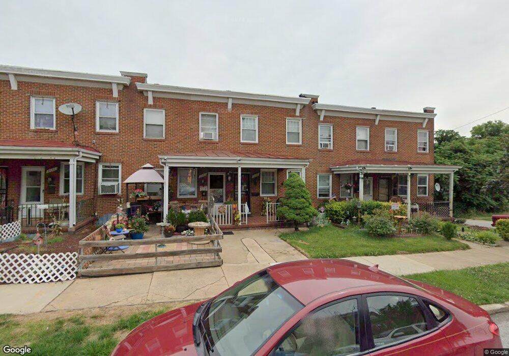
2055 Griffis Ave Baltimore, MD 21230
Morrell Park NeighborhoodEstimated Value: $107,742 - $134,000
Studio
1
Bath
1,020
Sq Ft
$119/Sq Ft
Est. Value
About This Home
This home is located at 2055 Griffis Ave, Baltimore, MD 21230 and is currently estimated at $120,871, approximately $118 per square foot. 2055 Griffis Ave is a home located in Baltimore City with nearby schools including Morrell Park Elementary/Middle School, Booker T. Washington Middle School, and Digital Harbor High School.
Ownership History
Date
Name
Owned For
Owner Type
Purchase Details
Closed on
Nov 30, 2001
Sold by
Secretary Of Housing
Bought by
Sinclair Neville
Current Estimated Value
Purchase Details
Closed on
Feb 14, 2001
Sold by
Fitzpatrick Patrice A
Bought by
Secretary Of Housing and Urban Development
Purchase Details
Closed on
Jul 9, 1997
Sold by
Ray Robert E
Bought by
Fitzpatrick Patrice A and Hands Murray H
Create a Home Valuation Report for This Property
The Home Valuation Report is an in-depth analysis detailing your home's value as well as a comparison with similar homes in the area
Home Values in the Area
Average Home Value in this Area
Purchase History
| Date | Buyer | Sale Price | Title Company |
|---|---|---|---|
| Sinclair Neville | $28,500 | -- | |
| Secretary Of Housing | $62,000 | -- | |
| Fitzpatrick Patrice A | $57,900 | -- |
Source: Public Records
Tax History
| Year | Tax Paid | Tax Assessment Tax Assessment Total Assessment is a certain percentage of the fair market value that is determined by local assessors to be the total taxable value of land and additions on the property. | Land | Improvement |
|---|---|---|---|---|
| 2025 | $1,452 | $68,400 | -- | -- |
| 2024 | $1,452 | $61,800 | -- | -- |
| 2023 | $114 | $55,200 | $12,000 | $43,200 |
| 2022 | $1,303 | $55,200 | $12,000 | $43,200 |
| 2021 | $1,303 | $55,200 | $12,000 | $43,200 |
| 2020 | $1,182 | $50,100 | $12,000 | $38,100 |
| 2019 | $1,177 | $50,100 | $12,000 | $38,100 |
| 2018 | $1,182 | $50,100 | $12,000 | $38,100 |
| 2017 | $1,529 | $64,800 | $0 | $0 |
| 2016 | $3,033 | $64,800 | $0 | $0 |
| 2015 | $3,033 | $64,800 | $0 | $0 |
| 2014 | $3,033 | $108,600 | $0 | $0 |
Source: Public Records
Map
Nearby Homes
- 2039 Grinnalds Ave
- 1935 Grinnalds Ave
- 1933 Grinnalds Ave
- 1918 Griffis Ave
- 1933 Griffis Ave
- 2149 Harman Ave
- 0 Harman Ave
- 1909 Harman Ave
- 2365 Washington Blvd
- 2000 Hollins Ferry Rd
- 2104 Whistler Ave
- 2453 Washington Blvd
- 2506 Washington Blvd
- 1918 Parksley Ave
- 1703 - 1707 1/2 Spence St
- 1706 Sexton St
- 1707 Harman Ave
- 1701 Spence St
- 2305 Herkimer St
- 1704 Harman Ave
- 2057 Griffis Ave
- 2053 Griffis Ave
- 2059 Griffis Ave
- 2051 Griffis Ave
- 2049 Griffis Ave
- 2047 Griffis Ave
- 2045 Griffis Ave
- 2043 Griffis Ave
- 2041 Griffis Ave
- 2010 Breitwert Ave
- 2039 Griffis Ave
- 2037 Griffis Ave
- 2004 Breitwert Ave
- 2052 Griffis Ave
- 2054 Griffis Ave
- 2050 Griffis Ave
- 2056 Griffis Ave
- 2048 Griffis Ave
- 2046 Griffis Ave
- 2014 Breitwert Ave
Your Personal Tour Guide
Ask me questions while you tour the home.