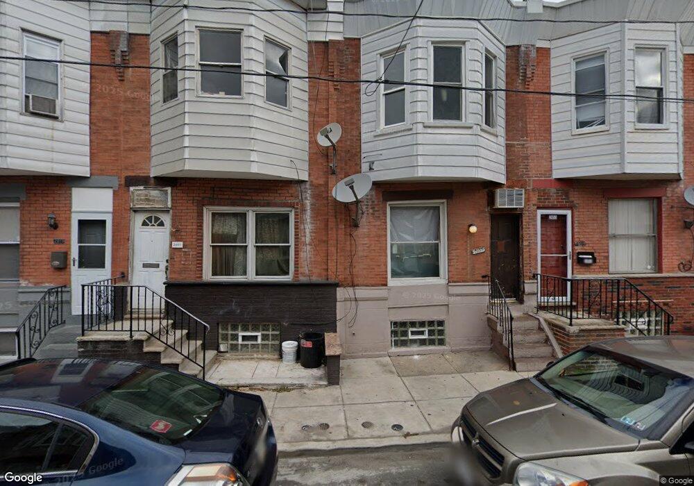
2055 Mercy St Philadelphia, PA 19145
South Philadelphia West NeighborhoodEstimated Value: $217,000 - $281,000
3
Beds
1
Bath
942
Sq Ft
$261/Sq Ft
Est. Value
About This Home
This home is located at 2055 Mercy St, Philadelphia, PA 19145 and is currently estimated at $245,486, approximately $260 per square foot. 2055 Mercy St is a home located in Philadelphia County with nearby schools including Stephen Girard School, Universal Vare Charter School, and Universal Audenried Charter High School.
Ownership History
Date
Name
Owned For
Owner Type
Purchase Details
Closed on
Aug 31, 2020
Sold by
Utopia Capital Llc
Bought by
Chenzheng01 Llc
Current Estimated Value
Purchase Details
Closed on
Oct 30, 2019
Sold by
Patel Trilok
Bought by
Utopia Capital Llc
Purchase Details
Closed on
Feb 8, 2010
Sold by
Deutsche Bank National Trust Company
Bought by
Patel Trilok M
Purchase Details
Closed on
Feb 2, 2009
Sold by
Maddrey Gerard
Bought by
Deutsche Bank National Trust Company
Purchase Details
Closed on
Apr 17, 2006
Sold by
Tsjl Ltd Inc
Bought by
Maddrey Gerard
Home Financials for this Owner
Home Financials are based on the most recent Mortgage that was taken out on this home.
Original Mortgage
$61,200
Interest Rate
7.9%
Mortgage Type
Purchase Money Mortgage
Create a Home Valuation Report for This Property
The Home Valuation Report is an in-depth analysis detailing your home's value as well as a comparison with similar homes in the area
Home Values in the Area
Average Home Value in this Area
Purchase History
| Date | Buyer | Sale Price | Title Company |
|---|---|---|---|
| Chenzheng01 Llc | $95,000 | Alpert Abstract Llc | |
| Utopia Capital Llc | $95,000 | Prosperity Abstract Llc | |
| Patel Trilok M | $24,500 | None Available | |
| Deutsche Bank National Trust Company | $3,300 | None Available | |
| Maddrey Gerard | $68,000 | None Available |
Source: Public Records
Mortgage History
| Date | Status | Borrower | Loan Amount |
|---|---|---|---|
| Previous Owner | Maddrey Gerard | $61,200 |
Source: Public Records
Tax History Compared to Growth
Tax History
| Year | Tax Paid | Tax Assessment Tax Assessment Total Assessment is a certain percentage of the fair market value that is determined by local assessors to be the total taxable value of land and additions on the property. | Land | Improvement |
|---|---|---|---|---|
| 2025 | $1,713 | $250,000 | $50,000 | $200,000 |
| 2024 | $1,713 | $250,000 | $50,000 | $200,000 |
| 2023 | $1,713 | $122,400 | $24,400 | $98,000 |
| 2022 | $1,215 | $122,400 | $24,400 | $98,000 |
| 2021 | $1,215 | $0 | $0 | $0 |
| 2020 | $1,215 | $0 | $0 | $0 |
| 2019 | $1,130 | $0 | $0 | $0 |
| 2018 | $0 | $0 | $0 | $0 |
| 2017 | $869 | $0 | $0 | $0 |
| 2016 | $869 | $0 | $0 | $0 |
| 2015 | $324 | $0 | $0 | $0 |
| 2014 | -- | $62,200 | $6,448 | $55,752 |
| 2012 | -- | $7,712 | $737 | $6,975 |
Source: Public Records
Map
Nearby Homes
- 2032 S 21st St
- 2022 S 21st St
- 2040 S Norwood St
- 2056 Emily St
- 2047 S Beechwood St
- 2001 S Norwood St
- 2032 S Beechwood St
- 2025 S 22nd St
- 2014 Emily St
- 2028 S 22nd St
- 1943 S 22nd St
- 2005 Mercy St
- 2013 S Croskey St
- 2010 S Croskey St
- 1937 S Croskey St
- 2043 S Hemberger St
- 1942 S Croskey St
- 2024 Mifflin St
- 2028 S Opal St
- 1937 S 20th St