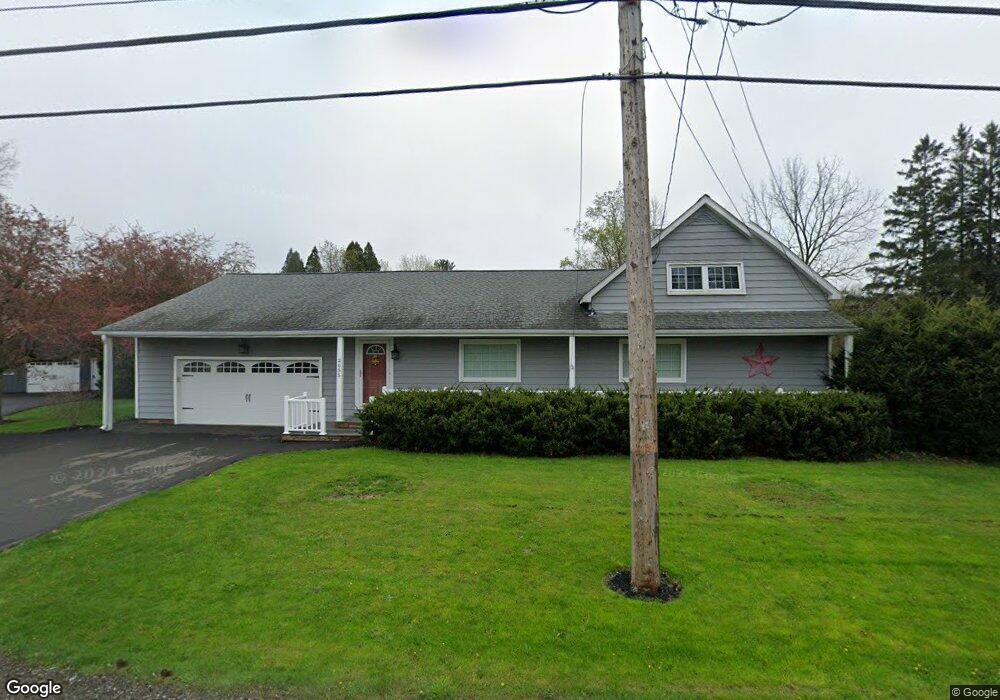
2055 Norcross Rd Erie, PA 16510
Millcreek NeighborhoodEstimated Value: $304,682 - $346,000
3
Beds
1
Bath
2,091
Sq Ft
$155/Sq Ft
Est. Value
About This Home
This home is located at 2055 Norcross Rd, Erie, PA 16510 and is currently estimated at $323,171, approximately $154 per square foot. 2055 Norcross Rd is a home located in Erie County with nearby schools including Belle Valley Elementary School, McDowell High School, and James S. Wilson Middle School.
Ownership History
Date
Name
Owned For
Owner Type
Purchase Details
Closed on
Sep 1, 2019
Sold by
Markow Linda S and Markow Roy A
Bought by
Markow Dean C
Current Estimated Value
Home Financials for this Owner
Home Financials are based on the most recent Mortgage that was taken out on this home.
Original Mortgage
$140,000
Outstanding Balance
$93,082
Interest Rate
3.7%
Mortgage Type
Commercial
Estimated Equity
$230,089
Purchase Details
Closed on
Jun 23, 2011
Sold by
Ericsson William C and Bricsson Robert W
Bought by
Markow Linda S and Markow Roy A
Purchase Details
Closed on
Jan 31, 2005
Sold by
Ericsson Richard and Ericsson Betty J
Bought by
Ericsson William C and Ericsson Robert W
Create a Home Valuation Report for This Property
The Home Valuation Report is an in-depth analysis detailing your home's value as well as a comparison with similar homes in the area
Home Values in the Area
Average Home Value in this Area
Purchase History
| Date | Buyer | Sale Price | Title Company |
|---|---|---|---|
| Markow Dean C | $165,000 | None Available | |
| Markow Linda S | -- | None Available | |
| Ericsson William C | -- | -- |
Source: Public Records
Mortgage History
| Date | Status | Borrower | Loan Amount |
|---|---|---|---|
| Open | Markow Dean C | $140,000 |
Source: Public Records
Tax History Compared to Growth
Tax History
| Year | Tax Paid | Tax Assessment Tax Assessment Total Assessment is a certain percentage of the fair market value that is determined by local assessors to be the total taxable value of land and additions on the property. | Land | Improvement |
|---|---|---|---|---|
| 2025 | $4,536 | $165,030 | $37,400 | $127,630 |
| 2024 | $4,417 | $165,030 | $37,400 | $127,630 |
| 2023 | $4,170 | $165,030 | $37,400 | $127,630 |
| 2022 | $4,006 | $165,030 | $37,400 | $127,630 |
| 2021 | $3,963 | $165,030 | $37,400 | $127,630 |
| 2020 | $3,922 | $165,030 | $37,400 | $127,630 |
| 2019 | $3,857 | $165,030 | $37,400 | $127,630 |
| 2018 | $3,761 | $165,030 | $37,400 | $127,630 |
| 2017 | $3,753 | $165,030 | $37,400 | $127,630 |
| 2016 | $4,416 | $165,030 | $37,400 | $127,630 |
| 2015 | $4,374 | $165,030 | $37,400 | $127,630 |
| 2014 | $1,400 | $165,030 | $37,400 | $127,630 |
Source: Public Records
Map
Nearby Homes
- 2034 E Gore Rd
- 0 Conrad Rd
- 4315 Fargo St
- 5149 Henderson Rd Unit 139
- 5149 Henderson Rd Unit 110
- 0 Old French Rd Unit 181790
- 4813 Grouse Hollow Dr
- 4801 Grouse Hollow Dr
- 2554 Pepper Tree Dr
- 4206 Stanton St
- 4816 Avellino Dr
- 4030 Mcclelland Ave
- 4309 Koehler Rd
- 3950 Rice Ave
- 2345 Wager Rd
- 2738 E 44th St
- 2021 E 38th St
- 1323 E Grandview Blvd
- 2227 E 38th St
- 2259 E 38th St
- 2047 Norcross Rd
- 2111 Norcross Rd
- 2033 Norcross Rd
- 2040 Norcross Rd
- 2123 Norcross Rd
- 2021 Norcross Rd
- 2020 Norcross Rd
- 2017 Norcross Rd
- 2057 Norcross Rd
- 2008 Norcross Rd
- 0 Norcross Rd
- 2144 Norcross Rd
- 2154 Norcross Rd
- 2155 Norcross Rd
- 2059 Brooksboro Dr
- 2053 Brooksboro Dr
- 2047 Brooksboro Dr
- 2065 Brooksboro Dr
- 2161 Norcross Rd
- 2041 Brooksboro Dr