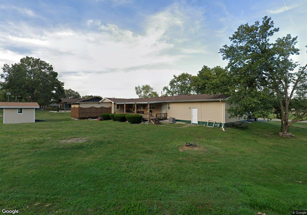
2055 S Spring Ln Decatur, IL 62521
Enterprise NeighborhoodEstimated Value: $149,000 - $200,832
3
Beds
3
Baths
2,468
Sq Ft
$73/Sq Ft
Est. Value
About This Home
This home is located at 2055 S Spring Ln, Decatur, IL 62521 and is currently estimated at $178,958, approximately $72 per square foot. 2055 S Spring Ln is a home located in Macon County with nearby schools including South Shores Elementary School, Stephen Decatur Middle School, and Holy Family Catholic School.
Ownership History
Date
Name
Owned For
Owner Type
Purchase Details
Closed on
Dec 21, 2020
Sold by
Morrell Rhonda J
Bought by
Butler Walter Gene and Butler Gail L
Current Estimated Value
Home Financials for this Owner
Home Financials are based on the most recent Mortgage that was taken out on this home.
Original Mortgage
$98,300
Outstanding Balance
$87,406
Interest Rate
2.63%
Mortgage Type
New Conventional
Estimated Equity
$91,552
Purchase Details
Closed on
Sep 1, 1998
Create a Home Valuation Report for This Property
The Home Valuation Report is an in-depth analysis detailing your home's value as well as a comparison with similar homes in the area
Home Values in the Area
Average Home Value in this Area
Purchase History
| Date | Buyer | Sale Price | Title Company |
|---|---|---|---|
| Butler Walter Gene | $114,000 | None Available | |
| -- | $99,000 | -- |
Source: Public Records
Mortgage History
| Date | Status | Borrower | Loan Amount |
|---|---|---|---|
| Open | Butler Walter Gene | $98,300 |
Source: Public Records
Tax History Compared to Growth
Tax History
| Year | Tax Paid | Tax Assessment Tax Assessment Total Assessment is a certain percentage of the fair market value that is determined by local assessors to be the total taxable value of land and additions on the property. | Land | Improvement |
|---|---|---|---|---|
| 2024 | $2,703 | $50,152 | $4,548 | $45,604 |
| 2023 | $2,755 | $42,237 | $4,548 | $37,689 |
| 2022 | $2,827 | $40,294 | $4,338 | $35,956 |
| 2021 | $2,786 | $38,333 | $4,127 | $34,206 |
| 2020 | $3,162 | $41,111 | $3,911 | $37,200 |
| 2019 | $3,162 | $41,111 | $3,911 | $37,200 |
| 2018 | $2,964 | $39,545 | $3,762 | $35,783 |
| 2017 | $2,895 | $39,177 | $3,727 | $35,450 |
| 2016 | $3,417 | $39,095 | $3,719 | $35,376 |
| 2015 | $3,192 | $37,957 | $3,611 | $34,346 |
| 2014 | $2,920 | $37,581 | $3,575 | $34,006 |
| 2013 | $2,908 | $37,581 | $3,575 | $34,006 |
Source: Public Records
Map
Nearby Homes
- 1739 Moorwood Dr
- 2207 Forest Crest Dr
- 15 Calumet Rd
- 1740 S Fairview Ave
- 2705 S Taylor Rd
- 2529 W Alice Ln
- 1280 W Masters Ln
- 2970 Olympia Dr
- 4220 S Lake Ct
- 134 Madison Dr
- 59 Medial Dr
- 1833 Burning Tree Dr
- 636 S Sycamore St
- 344 W Imboden Dr
- 2704 Brookville Place
- 3316 Ferris Dr
- 365 S Taylor Ave
- 2913 S Danny Dr
- 1391 W Decatur St
- 353 S Linden Ave
- 2055 S Spring Ln
- 1739 Granite Rd
- 1755 Granite Rd
- 1721 Granite Rd
- 2049 Spring Ln
- 2048 Spring Ln
- 1805 Granite Rd
- 1810 Granite Rd
- 2035 Spring Ln
- 1815 Granite Rd
- 2023 Spring Ln
- 1824 Granite Rd
- 1740 Rock Dr
- 1825 Granite Rd
- 1826 Rock Dr
- 1846 Rock Dr
- 1739 W Rock Springs Rd
- 2145 Spring Ln
- 1721 W Rock Springs Rd
- 1730 Rock Dr