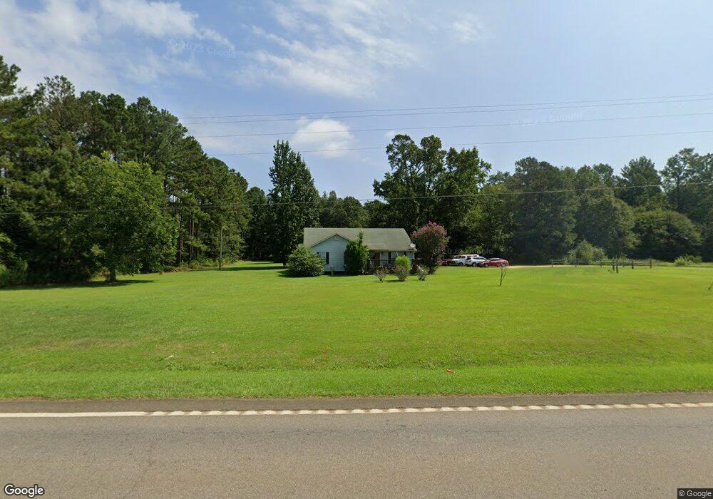
20556 Ga Highway 37 Edison, GA 39846
Estimated Value: $144,968 - $244,000
--
Bed
--
Bath
1,984
Sq Ft
$97/Sq Ft
Est. Value
About This Home
This home is located at 20556 Ga Highway 37, Edison, GA 39846 and is currently estimated at $192,492, approximately $97 per square foot. 20556 Ga Highway 37 is a home with nearby schools including Calhoun County Elementary School, Calhoun County Middle School, and Calhoun County High School.
Ownership History
Date
Name
Owned For
Owner Type
Purchase Details
Closed on
Apr 22, 2010
Sold by
Favors Lacey V
Bought by
Scott Devontrez
Current Estimated Value
Home Financials for this Owner
Home Financials are based on the most recent Mortgage that was taken out on this home.
Original Mortgage
$106,080
Outstanding Balance
$70,066
Interest Rate
4.99%
Mortgage Type
New Conventional
Estimated Equity
$122,426
Purchase Details
Closed on
Jul 25, 2003
Sold by
Peterson Bobby and Peterson Lisa
Bought by
Favors Lacey V
Purchase Details
Closed on
Jun 3, 1998
Sold by
The Associates Financial Services
Bought by
Peterson Bobby and Peterson Lisa
Create a Home Valuation Report for This Property
The Home Valuation Report is an in-depth analysis detailing your home's value as well as a comparison with similar homes in the area
Home Values in the Area
Average Home Value in this Area
Purchase History
| Date | Buyer | Sale Price | Title Company |
|---|---|---|---|
| Scott Devontrez | $104,000 | -- | |
| Favors Lacey V | $62,800 | -- | |
| Peterson Bobby | -- | -- |
Source: Public Records
Mortgage History
| Date | Status | Borrower | Loan Amount |
|---|---|---|---|
| Open | Scott Devontrez | $106,080 |
Source: Public Records
Tax History Compared to Growth
Tax History
| Year | Tax Paid | Tax Assessment Tax Assessment Total Assessment is a certain percentage of the fair market value that is determined by local assessors to be the total taxable value of land and additions on the property. | Land | Improvement |
|---|---|---|---|---|
| 2025 | $1,330 | $40,870 | $1,908 | $38,962 |
| 2024 | $1,331 | $40,870 | $1,908 | $38,962 |
| 2023 | $1,339 | $40,870 | $1,908 | $38,962 |
| 2022 | $1,296 | $40,670 | $1,908 | $38,762 |
| 2021 | $1,159 | $34,983 | $1,908 | $33,075 |
| 2020 | $1,267 | $34,983 | $1,908 | $33,075 |
| 2019 | $1,263 | $35,798 | $1,908 | $33,890 |
| 2018 | $1,168 | $35,798 | $1,908 | $33,890 |
| 2017 | $1,136 | $35,798 | $1,908 | $33,890 |
| 2016 | $1,072 | $35,798 | $1,908 | $33,890 |
| 2015 | -- | $35,714 | $2,223 | $33,490 |
| 2014 | -- | $38,278 | $2,223 | $36,055 |
| 2013 | -- | $38,356 | $2,223 | $36,133 |
Source: Public Records
Map
Nearby Homes