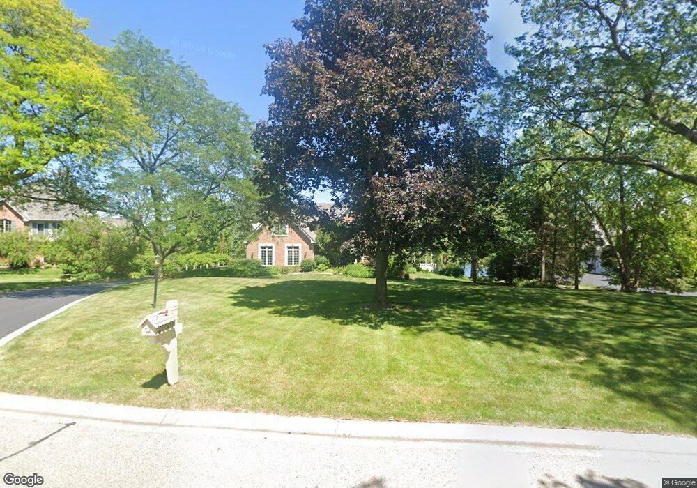
20557 N Amherst Ln Deer Park, IL 60010
Estimated Value: $1,135,000 - $1,477,000
--
Bed
5
Baths
5,276
Sq Ft
$236/Sq Ft
Est. Value
About This Home
This home is located at 20557 N Amherst Ln, Deer Park, IL 60010 and is currently estimated at $1,247,242, approximately $236 per square foot. 20557 N Amherst Ln is a home located in Lake County with nearby schools including Arnett C. Lines Elementary School, Barrington Mdle School- Prairie Cmps, and Barrington High School.
Ownership History
Date
Name
Owned For
Owner Type
Purchase Details
Closed on
May 4, 1998
Sold by
Harris Bank Barrington
Bought by
Drohan David F and Drohen Denise C
Current Estimated Value
Home Financials for this Owner
Home Financials are based on the most recent Mortgage that was taken out on this home.
Original Mortgage
$200,000
Interest Rate
7.32%
Mortgage Type
Balloon
Create a Home Valuation Report for This Property
The Home Valuation Report is an in-depth analysis detailing your home's value as well as a comparison with similar homes in the area
Home Values in the Area
Average Home Value in this Area
Purchase History
| Date | Buyer | Sale Price | Title Company |
|---|---|---|---|
| Drohan David F | $869,000 | Inter County Title Co |
Source: Public Records
Mortgage History
| Date | Status | Borrower | Loan Amount |
|---|---|---|---|
| Closed | Drohan David F | $200,000 |
Source: Public Records
Tax History Compared to Growth
Tax History
| Year | Tax Paid | Tax Assessment Tax Assessment Total Assessment is a certain percentage of the fair market value that is determined by local assessors to be the total taxable value of land and additions on the property. | Land | Improvement |
|---|---|---|---|---|
| 2024 | $23,244 | $370,910 | $42,150 | $328,760 |
| 2023 | $20,807 | $350,435 | $39,823 | $310,612 |
| 2022 | $20,807 | $313,735 | $39,053 | $274,682 |
| 2021 | $20,367 | $305,695 | $38,052 | $267,643 |
| 2020 | $19,887 | $305,695 | $38,052 | $267,643 |
| 2019 | $19,439 | $303,028 | $37,720 | $265,308 |
| 2018 | $20,874 | $329,675 | $44,176 | $285,499 |
| 2017 | $20,510 | $325,702 | $43,644 | $282,058 |
| 2016 | $20,519 | $315,389 | $42,262 | $273,127 |
| 2015 | $19,580 | $300,399 | $40,253 | $260,146 |
| 2014 | $21,574 | $313,367 | $44,083 | $269,284 |
| 2012 | $20,655 | $314,027 | $44,176 | $269,851 |
Source: Public Records
Map
Nearby Homes
- 104 Lois Ln
- 523 N Ela Rd
- 44 Oak Ridge Ln
- 20633 N Primrose Ct
- 1312 Lake Shore Dr N Unit 7
- 36 Ferndale Rd
- 110 Tudor Dr
- 23036 W Long Grove Rd
- 1288 The Point St
- 290 Cold Spring Rd
- 21 Ferndale Rd
- 185 Cold Spring Rd
- 104 Howe Terrace
- 101 Surrey Ln
- 21355 N Bobwhite Ln
- 1202 Tracie Dr
- 129 Roth Ave
- 1254 Tracie Dr
- 20358 N Wallingford Ln
- 175 Hilltop Ave
- 20525 N Amherst Ln
- 20583 N Amherst Ln
- 20590 N Amherst Ln
- 20556 N Amherst Ln
- 20522 N Amherst Ln
- 23811 W Long Grove Rd
- 20671 N Waddington Rd Unit 2
- 20486 N Meadow Ln Unit 2
- 20520 N Meadow Ln
- 23833 W Long Grove Rd Unit B
- 20584 N Amherst Ln
- 23803 W Long Grove Rd
- 20672 N Waddington Rd
- 20530 N Meadow Ln Unit B
- 20679 N Waddington Rd
- 20774 N Meadow Ln
- 23928 W Long Grove Rd
- 23855 W Long Grove Rd
- 20676 N Waddington Rd
- 23893 W Long Grove Rd