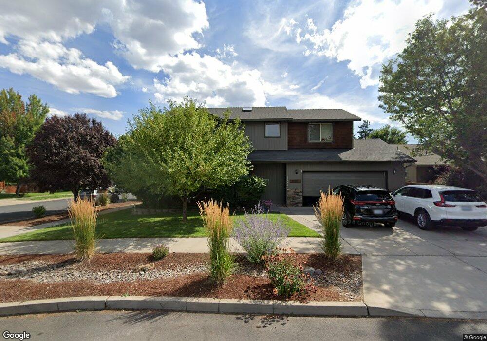
20557 Peak Ave Bend, OR 97702
Old Farm District NeighborhoodEstimated Value: $656,000 - $707,000
4
Beds
4
Baths
2,456
Sq Ft
$276/Sq Ft
Est. Value
About This Home
This home is located at 20557 Peak Ave, Bend, OR 97702 and is currently estimated at $676,827, approximately $275 per square foot. 20557 Peak Ave is a home located in Deschutes County with nearby schools including Silver Rail Elementary School, High Desert Middle School, and Bend Senior High School.
Ownership History
Date
Name
Owned For
Owner Type
Purchase Details
Closed on
Oct 30, 2003
Sold by
Reinhardt Construction & Design Llc
Bought by
Roberts Michael E and Roberts Else
Current Estimated Value
Home Financials for this Owner
Home Financials are based on the most recent Mortgage that was taken out on this home.
Original Mortgage
$214,000
Interest Rate
6.17%
Mortgage Type
New Conventional
Purchase Details
Closed on
Aug 6, 2003
Sold by
Double B Development Inc
Bought by
Reinhardt Construction & Design Llc
Home Financials for this Owner
Home Financials are based on the most recent Mortgage that was taken out on this home.
Original Mortgage
$150,400
Interest Rate
5.64%
Mortgage Type
Construction
Create a Home Valuation Report for This Property
The Home Valuation Report is an in-depth analysis detailing your home's value as well as a comparison with similar homes in the area
Home Values in the Area
Average Home Value in this Area
Purchase History
| Date | Buyer | Sale Price | Title Company |
|---|---|---|---|
| Roberts Michael E | $246,750 | Amerititle | |
| Reinhardt Construction & Design Llc | $50,000 | Amerititle |
Source: Public Records
Mortgage History
| Date | Status | Borrower | Loan Amount |
|---|---|---|---|
| Previous Owner | Roberts Michael E | $214,000 | |
| Previous Owner | Reinhardt Construction & Design Llc | $150,400 |
Source: Public Records
Tax History Compared to Growth
Tax History
| Year | Tax Paid | Tax Assessment Tax Assessment Total Assessment is a certain percentage of the fair market value that is determined by local assessors to be the total taxable value of land and additions on the property. | Land | Improvement |
|---|---|---|---|---|
| 2025 | $4,581 | $271,150 | -- | -- |
| 2024 | $4,408 | $263,260 | -- | -- |
| 2023 | $4,086 | $255,600 | $0 | $0 |
| 2022 | $3,812 | $240,940 | $0 | $0 |
| 2021 | $3,818 | $233,930 | $0 | $0 |
| 2020 | $3,623 | $233,930 | $0 | $0 |
| 2019 | $3,522 | $227,120 | $0 | $0 |
| 2018 | $3,422 | $220,510 | $0 | $0 |
| 2017 | $3,322 | $214,090 | $0 | $0 |
| 2016 | $3,168 | $207,860 | $0 | $0 |
| 2015 | $3,080 | $201,810 | $0 | $0 |
| 2014 | $2,990 | $195,940 | $0 | $0 |
Source: Public Records
Map
Nearby Homes
- 20572 Conifer Ave
- 20575 Conifer Ave
- 20528 Dylan Loop
- 20580 Klahani Dr
- 20657 Couples Ln
- 20606 SE Slate Ave
- 20615 Kira Dr Unit 386
- 20495 SE Bard Ct Unit 7
- 20603 Kira Dr Unit 383
- 61429 SE Daybreak Ct Unit Lot 7
- 20599 Kira Dr Unit 382
- 61441 SE Daybreak Ct Unit Lot 10
- 20487 SE Bard Ct Unit 11
- 61433 SE Daybreak Ct Unit Lot 8
- 61413 SE Daybreak
- 61405 SE Daybreak Ct
- 61409 SE Daybreak Ct Unit Lot 2
- 61172 Splendor Ln
- 61160 Splendor Ln
- 20572 Kira Dr Unit 369
- 20553 Peak Ave
- 20577 Prospector Loop
- 20581 Prospector Loop
- 20549 Peak Ave
- 20558 Prospector Loop
- 20554 Prospector Loop
- 20556 Peak Ave
- 20552 Peak Ave
- 20550 Prospector Loop
- 20585 Prospector Loop
- 20548 Peak Dr
- 20548 Peak Ave
- 20545 Peak Ave
- 20566 Prospector Loop
- 20546 Prospector Loop
- 20525 Prospector Loop
- 20578 Prospector Loop
- 20574 Prospector Loop