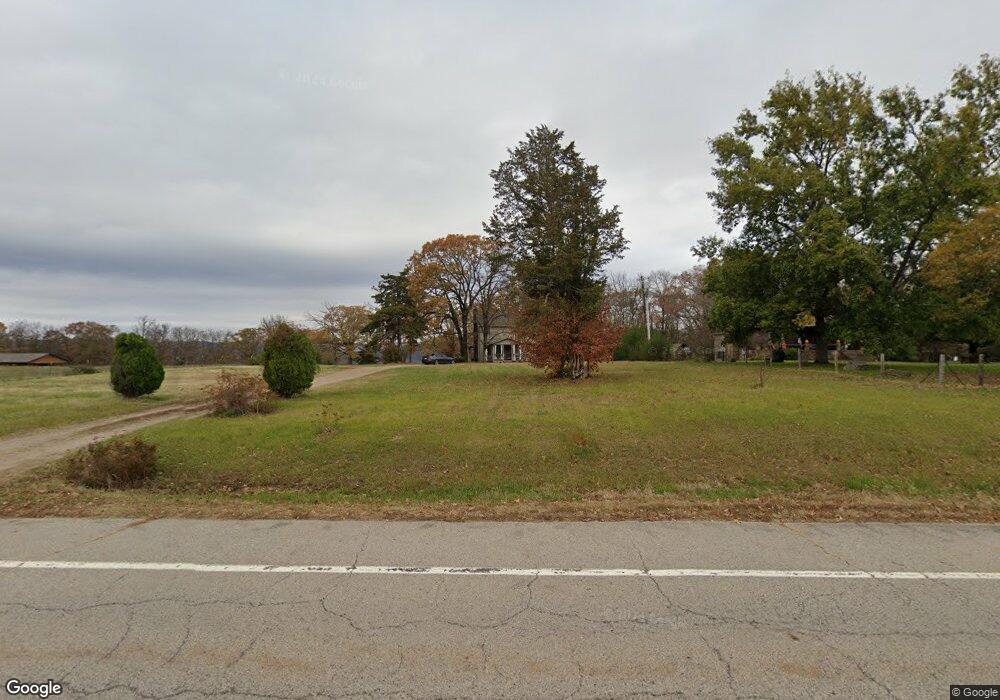
20559 N Highway 71 Mountainburg, AR 72946
Estimated Value: $173,470 - $342,000
4
Beds
2
Baths
2,224
Sq Ft
$107/Sq Ft
Est. Value
About This Home
This home is located at 20559 N Highway 71, Mountainburg, AR 72946 and is currently estimated at $237,368, approximately $106 per square foot. 20559 N Highway 71 is a home located in Crawford County with nearby schools including Mountainburg Elementary School, Mountainburg Middle School, and Mountainburg High School.
Ownership History
Date
Name
Owned For
Owner Type
Purchase Details
Closed on
Aug 17, 2018
Sold by
Pense Roger D and Pense Diana K
Bought by
Pense Dustin Lewis and Pense Brianna Dawn
Current Estimated Value
Purchase Details
Closed on
Mar 21, 2016
Sold by
Roger D and Pense Diana K
Bought by
Pense Andrea Denise
Purchase Details
Closed on
Dec 9, 2014
Sold by
M & T Bank
Bought by
Pense Roger D and Pense Diana K
Create a Home Valuation Report for This Property
The Home Valuation Report is an in-depth analysis detailing your home's value as well as a comparison with similar homes in the area
Home Values in the Area
Average Home Value in this Area
Purchase History
| Date | Buyer | Sale Price | Title Company |
|---|---|---|---|
| Pense Dustin Lewis | -- | None Available | |
| Pense Andrea Denise | -- | None Available | |
| Pense Roger D | -- | None Available |
Source: Public Records
Tax History Compared to Growth
Tax History
| Year | Tax Paid | Tax Assessment Tax Assessment Total Assessment is a certain percentage of the fair market value that is determined by local assessors to be the total taxable value of land and additions on the property. | Land | Improvement |
|---|---|---|---|---|
| 2025 | $199 | $23,830 | $3,200 | $20,630 |
| 2024 | $266 | $23,830 | $3,200 | $20,630 |
| 2023 | $309 | $23,830 | $3,200 | $20,630 |
| 2022 | $280 | $12,760 | $1,800 | $10,960 |
| 2021 | $280 | $12,760 | $1,800 | $10,960 |
| 2020 | $217 | $12,760 | $1,800 | $10,960 |
| 2019 | $217 | $12,760 | $1,800 | $10,960 |
| 2018 | $581 | $12,760 | $1,800 | $10,960 |
| 2017 | $53 | $11,390 | $1,800 | $9,590 |
| 2016 | $18 | $11,390 | $1,800 | $9,590 |
| 2015 | $179 | $11,390 | $1,800 | $9,590 |
| 2014 | $529 | $11,390 | $1,800 | $9,590 |
Source: Public Records
Map
Nearby Homes
- 20255 N Highway 71
- 21701 Mount Gaylor Point
- 22764 Carter Lane Rd
- 47 Acres Wc 4275
- 11939 Canova Trail
- 11901 Canova Trail
- 19108 Canova Trail
- 21588 S Highway 71
- 15800 Sand Point Terrace
- 20845 U S 71
- 20805 Pine Dr
- 15802 Sand Point Terrace
- 15801 Sand Point Terrace
- 610 Blueberry Hill Rd
- 411 E Front Ave
- TBD Old Locke Rd
- 21710 Wc 274
- 01 Freedom Rd
- 12774 Bunyard Wc 41
- TBD N Devils Den Rd
- 20567 N Highway 71
- 20583 N Highway 71
- 20537 N Highway 71
- 20586 N Highway 71
- 20605 N Highway 71
- 20621 N Highway 71
- 20582 N Highway 71
- 20526 N Highway 71
- 20516 N Highway 71
- 20743 N Highway 71
- 20479 N Highway 71
- 20435 N Highway 71
- 20435 Hwy 71
- 20440 N Highway 71
- 20530 Vista Cir
- 20354 N Highway 71
- 14722 Winfrey Valley Cutoff
- 20531 Vista Cir
- 20335 N Highway 71
- 20616 Vista Cir