2056 Highway 53 E Dawsonville, GA 30534
Dawson County NeighborhoodEstimated Value: $456,000 - $595,791
3
Beds
2
Baths
1,398
Sq Ft
$376/Sq Ft
Est. Value
About This Home
This home is located at 2056 Highway 53 E, Dawsonville, GA 30534 and is currently estimated at $525,448, approximately $375 per square foot. 2056 Highway 53 E is a home located in Dawson County with nearby schools including Riverview Elementary School, Dawson County Junior High School, and Dawson County Middle School.
Ownership History
Date
Name
Owned For
Owner Type
Purchase Details
Closed on
Oct 23, 2018
Sold by
Long Laura Dean
Bought by
Smith Rita Sharon and Conner Kayron Long
Current Estimated Value
Purchase Details
Closed on
Nov 3, 2009
Sold by
Long Laura Dean
Bought by
Rigney Curt G
Purchase Details
Closed on
Dec 3, 2007
Sold by
Long Kenneth Hayes
Bought by
Long Laura Dean
Purchase Details
Closed on
Aug 7, 2000
Sold by
Chastain Randall
Bought by
Long Kenneth and Long Laura
Purchase Details
Closed on
Sep 29, 1998
Sold by
Byrd Mark
Bought by
Long Kenneth and Long Laura
Purchase Details
Closed on
Feb 10, 1987
Sold by
Long Kenneth
Bought by
Long Kenneth and Long Laura
Create a Home Valuation Report for This Property
The Home Valuation Report is an in-depth analysis detailing your home's value as well as a comparison with similar homes in the area
Home Values in the Area
Average Home Value in this Area
Purchase History
| Date | Buyer | Sale Price | Title Company |
|---|---|---|---|
| Smith Rita Sharon | -- | -- | |
| Rigney Curt G | $105,900 | -- | |
| Long Laura Dean | -- | -- | |
| Long Kenneth | -- | -- | |
| Long Kenneth | $500 | -- | |
| Long Kenneth | -- | -- |
Source: Public Records
Tax History Compared to Growth
Tax History
| Year | Tax Paid | Tax Assessment Tax Assessment Total Assessment is a certain percentage of the fair market value that is determined by local assessors to be the total taxable value of land and additions on the property. | Land | Improvement |
|---|---|---|---|---|
| 2024 | $1,315 | $265,464 | $73,680 | $191,784 |
| 2023 | $1,576 | $250,784 | $56,120 | $194,664 |
| 2022 | $997 | $135,732 | $39,040 | $96,692 |
| 2021 | $915 | $122,380 | $39,040 | $83,340 |
| 2020 | $982 | $126,780 | $42,160 | $84,620 |
| 2019 | $2,701 | $113,180 | $42,160 | $71,020 |
| 2018 | $301 | $113,180 | $42,160 | $71,020 |
| 2017 | $203 | $101,249 | $39,850 | $61,399 |
| 2016 | $213 | $99,879 | $39,850 | $60,029 |
| 2015 | $193 | $92,090 | $36,261 | $55,829 |
| 2014 | $177 | $86,302 | $36,261 | $50,041 |
| 2013 | -- | $78,799 | $36,261 | $42,538 |
Source: Public Records
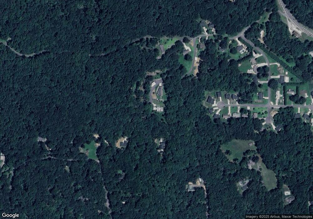
Map
Nearby Homes
- 74 E Gate Dr
- 0 Mountain Brook Rd Unit 7614426
- 0 Mountain Brook Rd Unit 10571981
- 0 Mountain Brook Rd Unit 7614434
- 0 Mountain Brook Rd Unit 10570759
- 305 Mountain Brook Rd
- 0 Afton #4 Rd
- 0 Rd
- 0 Rd
- 270 Clifton Dr
- 301 Collins Rd
- 204 Hugh Stowers Rd
- 262 Magnolia Dr
- 46 Fernbrook Trail
- 181 Longleaf St
- 0 Mill Creek Dr Unit 7479868
- 0 Mill Creek Dr Unit 10405516
- 554 Vandiviere Rd
- 1190 Mill Creek Dr
- 270 Shepard Dr
- LOT 6 Eastgate Dr
- 0 E Gate Dr Unit 7393798
- 0 E Gate Dr Unit 7528632
- 0 Eastgate Dr Unit 17 LOTS 2912415
- 0 Eastgate Dr Unit 7118137
- 0 Eastgate Dr Unit 6 7118149
- 0 Eastgate Dr Unit 7298502
- 0 Eastgate Dr Unit 4128156
- 0 Eastgate Dr Unit 5165070
- 0 Eastgate Dr Unit 5313813
- 0 Eastgate Dr Unit 5389410
- 0 Eastgate Dr Unit 5739041
- 0 Eastgate Dr Unit 7068993
- 0 Eastgate Dr Unit 7215811
- 0 Eastgate Dr Unit 8065848
- 0 Eastgate Dr Unit 8252869
- 0 Eastgate Dr Unit 8331383
- 0 Eastgate Dr Unit 8685976
- 56 Eastgate Dr
- 225 Buddy Burt Rd