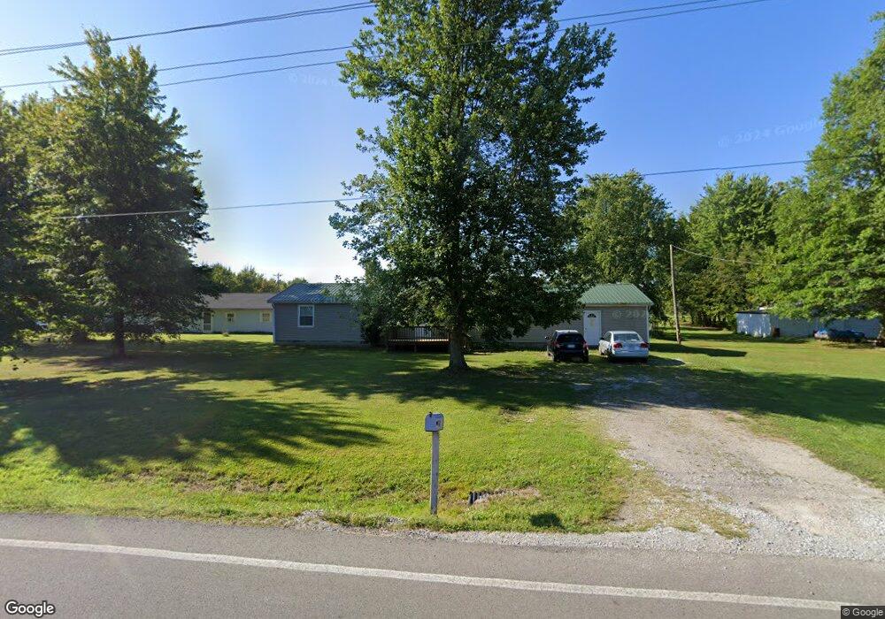
2056 New Harmony Shiloh Rd Mount Orab, OH 45154
Estimated Value: $168,000 - $205,291
3
Beds
2
Baths
1,560
Sq Ft
$117/Sq Ft
Est. Value
About This Home
This home is located at 2056 New Harmony Shiloh Rd, Mount Orab, OH 45154 and is currently estimated at $182,323, approximately $116 per square foot. 2056 New Harmony Shiloh Rd is a home located in Brown County with nearby schools including Western Brown High School.
Ownership History
Date
Name
Owned For
Owner Type
Purchase Details
Closed on
May 13, 2011
Sold by
Secretary Of Housing & Urban Development
Bought by
Justice Randy and Justice Laura
Current Estimated Value
Purchase Details
Closed on
Oct 4, 2010
Sold by
Storer Jerry
Bought by
Wells Fargo Bank Na
Purchase Details
Closed on
Aug 20, 2010
Sold by
Wells Fargo Bank Na
Bought by
Secretary Of Housing & Urban Development
Purchase Details
Closed on
Jun 5, 2003
Sold by
Dyer Richard E and Dyer Pearl
Bought by
Storer Jerry and Storer Tonya
Home Financials for this Owner
Home Financials are based on the most recent Mortgage that was taken out on this home.
Original Mortgage
$77,779
Interest Rate
5.71%
Mortgage Type
FHA
Purchase Details
Closed on
Dec 12, 1995
Sold by
Fisher Bruce D
Bought by
Dyer Richard E
Home Financials for this Owner
Home Financials are based on the most recent Mortgage that was taken out on this home.
Original Mortgage
$61,200
Interest Rate
8%
Mortgage Type
VA
Create a Home Valuation Report for This Property
The Home Valuation Report is an in-depth analysis detailing your home's value as well as a comparison with similar homes in the area
Home Values in the Area
Average Home Value in this Area
Purchase History
| Date | Buyer | Sale Price | Title Company |
|---|---|---|---|
| Justice Randy | $28,000 | Attorney | |
| Wells Fargo Bank Na | $33,334 | None Available | |
| Secretary Of Housing & Urban Development | -- | None Available | |
| Storer Jerry | $79,000 | -- | |
| Dyer Richard E | $60,000 | -- |
Source: Public Records
Mortgage History
| Date | Status | Borrower | Loan Amount |
|---|---|---|---|
| Previous Owner | Storer Jerry | $77,779 | |
| Previous Owner | Dyer Richard E | $61,200 |
Source: Public Records
Tax History Compared to Growth
Tax History
| Year | Tax Paid | Tax Assessment Tax Assessment Total Assessment is a certain percentage of the fair market value that is determined by local assessors to be the total taxable value of land and additions on the property. | Land | Improvement |
|---|---|---|---|---|
| 2024 | $958 | $33,090 | $8,690 | $24,400 |
| 2023 | $958 | $25,740 | $6,310 | $19,430 |
| 2022 | $749 | $25,740 | $6,310 | $19,430 |
| 2021 | $740 | $25,740 | $6,310 | $19,430 |
| 2020 | $639 | $21,450 | $5,260 | $16,190 |
| 2019 | $687 | $21,450 | $5,260 | $16,190 |
| 2018 | $680 | $21,450 | $5,260 | $16,190 |
| 2017 | $592 | $18,480 | $5,260 | $13,220 |
| 2016 | $592 | $18,480 | $5,260 | $13,220 |
| 2015 | $581 | $18,480 | $5,260 | $13,220 |
| 2014 | $581 | $18,000 | $4,780 | $13,220 |
| 2013 | $579 | $18,000 | $4,780 | $13,220 |
Source: Public Records
Map
Nearby Homes
- 1993 Old State Rd
- 2437 Tri County Hwy
- 153 Willow Run Rd
- 12570 Liming van Thompson Rd
- 3722 Coon Ave
- 100 Longwood Blvd
- 115 Sweet Bay Trail
- 3305 Pleasant Hill Rd
- 3644 Deer Trace
- 3614 Bootjack Corner Rd
- 108 Boulder Dr
- 0 Deer Trace Rd
- 3524 Pleasant Hill Rd
- 101 Julian Ln
- 15070 Bodman Rd
- 133 Kelly Dr
- 3690 Todds Run Foster Rd
- 3631 Bass Rd
- 0 Karampas Unit 1850784
- 110 Copper Sun Ct
- 13677 Lower Cumberland Rd
- 2048 New Harmony Shiloh Rd
- 13682 Lower Cumberland Rd
- 13632 Lower Cumberland Rd
- 2015 New Harmony Shiloh Rd
- 2014 New Harmony Shiloh Rd
- 13623 Lower Cumberland Rd
- 2128 New Harmony Shiloh Rd
- 1993 New Harmony Shiloh Rd
- 1986 New Harmony Shiloh Rd
- 2130 New Harmony Shiloh Rd
- 2133 New Harmony Shiloh Rd
- 1971 New Harmony Shiloh Rd
- 13555 Lower Cumberland Rd
- 1946 Maple Grove Rd
- 1966 Maple Grove Rd
- 1939 New Harmony Shiloh Rd
- 13597 Lower Cumberland Rd
- 12990 Upper Cumberland Rd
- 13718 Upper Cumberland Rd