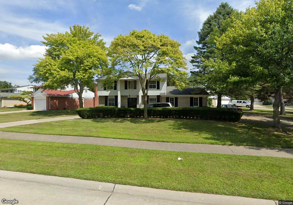
20560 Wayland St Southfield, MI 48076
Estimated Value: $343,315 - $412,000
4
Beds
2
Baths
2,442
Sq Ft
$153/Sq Ft
Est. Value
About This Home
This home is located at 20560 Wayland St, Southfield, MI 48076 and is currently estimated at $374,829, approximately $153 per square foot. 20560 Wayland St is a home located in Oakland County with nearby schools including Alice M. Birney K-8 School, Southfield Christian School, and Yeshivas Darchei Torah.
Ownership History
Date
Name
Owned For
Owner Type
Purchase Details
Closed on
Sep 20, 2011
Sold by
Ellerbee Greene Cheryl D
Bought by
The Federal National Mortgage Associatio
Current Estimated Value
Purchase Details
Closed on
Nov 16, 2000
Sold by
Curtis Leslie F
Bought by
Ellerbee-Greene Cheryl
Home Financials for this Owner
Home Financials are based on the most recent Mortgage that was taken out on this home.
Original Mortgage
$180,000
Interest Rate
7.69%
Mortgage Type
Purchase Money Mortgage
Create a Home Valuation Report for This Property
The Home Valuation Report is an in-depth analysis detailing your home's value as well as a comparison with similar homes in the area
Home Values in the Area
Average Home Value in this Area
Purchase History
| Date | Buyer | Sale Price | Title Company |
|---|---|---|---|
| The Federal National Mortgage Associatio | $200,944 | None Available | |
| Ellerbee-Greene Cheryl | $236,250 | -- |
Source: Public Records
Mortgage History
| Date | Status | Borrower | Loan Amount |
|---|---|---|---|
| Previous Owner | Ellerbee-Greene Cheryl | $180,000 |
Source: Public Records
Tax History Compared to Growth
Tax History
| Year | Tax Paid | Tax Assessment Tax Assessment Total Assessment is a certain percentage of the fair market value that is determined by local assessors to be the total taxable value of land and additions on the property. | Land | Improvement |
|---|---|---|---|---|
| 2022 | $4,082 | $146,330 | $25,850 | $120,480 |
| 2021 | $3,892 | $124,540 | $26,770 | $97,770 |
| 2020 | $3,388 | $116,880 | $21,420 | $95,460 |
| 2018 | $4,010 | $98,000 | $21,420 | $76,580 |
| 2015 | -- | $72,340 | $0 | $0 |
| 2014 | -- | $62,630 | $0 | $0 |
| 2011 | -- | $58,620 | $0 | $0 |
Source: Public Records
Map
Nearby Homes
- 27925 Arlington Dr
- 20780 Wayland St
- 20345 Harbor Ln
- 21140 Winchester St
- 20120 Covington Pkwy
- 21330 Winchester St
- 27430 Evergreen Rd Unit 36
- 28450 Tapert Dr
- 21361 Andover Rd
- 21440 Constitution St
- 20351 Lacrosse Ave
- 27249 Nantucket Dr
- 000 Pontiac Trail
- 20141 Lacrosse Ave
- 21731 Concord St
- 19360 W 11 Mile Rd
- 19646 Middlesex Ave
- 19400 W 11 Mile Rd Unit 12
- 21901 Concord St
- 28330 Lahser Rd
- 20570 Wayland St
- 27685 Arlington Dr
- 27715 Arlington Dr
- 20555 Wayland St
- 20580 Wayland St
- 20565 Wayland St
- 27530 Arlington Dr
- 27745 Arlington Dr
- 20575 Wayland St
- 27510 Arlington Dr
- 27600 Arlington Dr
- 20590 Wayland St
- 20585 Wayland St
- 27490 Arlington Ct
- 27500 Arlington Dr
- 27775 Arlington Dr
- 27650 Arlington Dr
- 27680 Arlington Dr
- 27520 Arlington Ct
- 27620 Bradford Ln