20561 Springston Ford Rd Elkins, AR 72727
Estimated Value: $290,000 - $816,000
--
Bed
3
Baths
2,892
Sq Ft
$166/Sq Ft
Est. Value
About This Home
This home is located at 20561 Springston Ford Rd, Elkins, AR 72727 and is currently estimated at $480,746, approximately $166 per square foot. 20561 Springston Ford Rd is a home located in Washington County with nearby schools including Elkins Elementary Primary School, Elkins Elementary School, and Elkins Middle School.
Ownership History
Date
Name
Owned For
Owner Type
Purchase Details
Closed on
Dec 29, 2010
Sold by
Krodell Chris and Krodell Jennifer
Bought by
Krodell Chris and Krodell Jennifer
Current Estimated Value
Purchase Details
Closed on
Sep 28, 1990
Bought by
Krodell Chris and Krodell Jennifer
Purchase Details
Closed on
Oct 29, 1989
Bought by
Springston Floyd and Springston Alice
Purchase Details
Closed on
Jan 1, 1985
Bought by
Springston Floyd and Springston Alice
Create a Home Valuation Report for This Property
The Home Valuation Report is an in-depth analysis detailing your home's value as well as a comparison with similar homes in the area
Home Values in the Area
Average Home Value in this Area
Purchase History
| Date | Buyer | Sale Price | Title Company |
|---|---|---|---|
| Krodell Chris | -- | Waco Title Company | |
| Krodell Chris | $90,000 | -- | |
| Springston Floyd | $1,000 | -- | |
| Springston Floyd | -- | -- |
Source: Public Records
Tax History Compared to Growth
Tax History
| Year | Tax Paid | Tax Assessment Tax Assessment Total Assessment is a certain percentage of the fair market value that is determined by local assessors to be the total taxable value of land and additions on the property. | Land | Improvement |
|---|---|---|---|---|
| 2025 | $1,661 | $57,470 | $5,700 | $51,770 |
| 2024 | $1,668 | $57,470 | $5,700 | $51,770 |
| 2023 | $1,700 | $57,470 | $5,700 | $51,770 |
| 2022 | $1,659 | $41,970 | $6,760 | $35,210 |
| 2021 | $1,592 | $41,970 | $6,760 | $35,210 |
| 2020 | $1,526 | $41,970 | $6,760 | $35,210 |
| 2019 | $1,082 | $28,620 | $5,660 | $22,960 |
| 2018 | $1,107 | $28,620 | $5,660 | $22,960 |
| 2017 | $1,087 | $28,620 | $5,660 | $22,960 |
| 2016 | $1,093 | $28,620 | $5,660 | $22,960 |
| 2015 | $1,093 | $28,620 | $5,660 | $22,960 |
| 2014 | $1,033 | $27,420 | $5,060 | $22,360 |
Source: Public Records
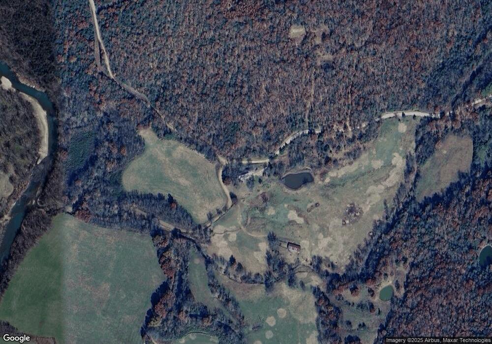
Map
Nearby Homes
- 503 Jason St
- 607 Jason St
- 517 Jason St
- 10836 Bray Rd
- 1022 Adysen Ln
- 20553 Durham McCord Rd
- 19105 Feather Hill Rd
- 20266 Mount Olive Rd
- 12016 Snake Branch Rd
- 21964 Raven Rd
- 2107 Madison 4097
- 0 Tbd Madison Cr 6021 Unit 1319733
- 19641 Conestoga Rd
- 6451 Madison 6041
- RC Carnegie II Plan at Stokenbury
- RC Keswick Plan at Stokenbury
- RC Foster II Plan at Stokenbury
- RC Franklin Plan at Stokenbury
- RC Glenwood Plan at Stokenbury
- RC Raleigh Plan at Stokenbury
- 20662 Springston Ford Rd
- 10215 Venice Rd
- 20300 Springston Ford Rd
- 10182 Venice Rd
- 20945 Springston Ford Rd
- 20906 Springston Ford Rd
- 21001 Springston Ford Rd
- 0 Springton Ford Rd Unit 623920
- 21045 Springston Ford Rd
- 0 Springston Ford Unit 1040406
- 21070 Springston Ford Rd
- 10432 Tomlinson Rd
- 21199 Rothrock Rd
- 10695 Venice Rd
- 10464 Tomlinson Rd
- 21101 Rothrock Rd
- 21180 Springston Ford Rd
- 21175 Springston Ford Rd
- 21224 Rothrock Rd
- 10458 Tomlinson Rd