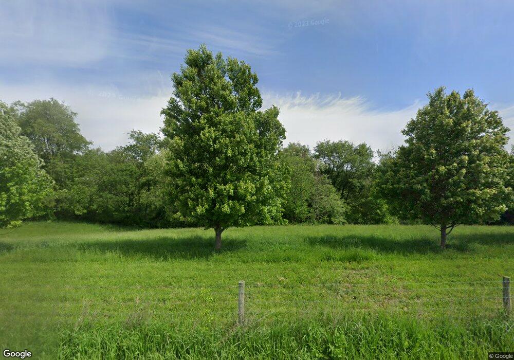
20563 Daniels Rd Mount Vernon, OH 43050
Estimated Value: $1,498,000 - $2,284,367
7
Beds
6
Baths
8,784
Sq Ft
$222/Sq Ft
Est. Value
About This Home
This home is located at 20563 Daniels Rd, Mount Vernon, OH 43050 and is currently estimated at $1,952,122, approximately $222 per square foot. 20563 Daniels Rd is a home located in Knox County with nearby schools including Mount Vernon High School.
Ownership History
Date
Name
Owned For
Owner Type
Purchase Details
Closed on
Jul 1, 2024
Sold by
Van Gorp Limited
Bought by
Vangorp Cornel
Current Estimated Value
Purchase Details
Closed on
Mar 6, 2019
Sold by
Right Brian Props Ltd
Bought by
Van Group Ltd
Purchase Details
Closed on
Nov 12, 2010
Sold by
Buddie Deborah J
Bought by
Right Brain Properties Ltd
Purchase Details
Closed on
Jun 9, 2005
Sold by
Frick Virginia E
Bought by
Buddie Deborah J
Create a Home Valuation Report for This Property
The Home Valuation Report is an in-depth analysis detailing your home's value as well as a comparison with similar homes in the area
Home Values in the Area
Average Home Value in this Area
Purchase History
| Date | Buyer | Sale Price | Title Company |
|---|---|---|---|
| Vangorp Cornel | -- | None Listed On Document | |
| Van Group Ltd | -- | -- | |
| Right Brain Properties Ltd | $9,375 | Commerce Park Title Agency L | |
| Buddie Deborah J | $168,975 | Title First Agency Box | |
| Buddie Deborah J | $168,975 | None Available |
Source: Public Records
Tax History Compared to Growth
Tax History
| Year | Tax Paid | Tax Assessment Tax Assessment Total Assessment is a certain percentage of the fair market value that is determined by local assessors to be the total taxable value of land and additions on the property. | Land | Improvement |
|---|---|---|---|---|
| 2024 | $24,260 | $805,500 | $296,320 | $509,180 |
| 2023 | $24,260 | $801,910 | $292,730 | $509,180 |
| 2022 | $18,211 | $553,040 | $201,880 | $351,160 |
| 2021 | $18,211 | $553,040 | $201,880 | $351,160 |
| 2020 | $17,779 | $553,040 | $201,880 | $351,160 |
| 2019 | $23,347 | $574,280 | $144,930 | $429,350 |
| 2018 | $23,325 | $574,280 | $144,930 | $429,350 |
| 2017 | $22,974 | $552,800 | $123,450 | $429,350 |
| 2016 | $20,681 | $480,700 | $107,350 | $373,350 |
| 2015 | $20,765 | $480,700 | $107,350 | $373,350 |
| 2014 | $20,866 | $480,700 | $107,350 | $373,350 |
| 2013 | $19,060 | $446,150 | $98,320 | $347,830 |
Source: Public Records
Map
Nearby Homes
- 783 Crestrose Dr
- 85 E Lakeview Dr
- 0 Crestrose Dr Unit 20250705
- 0 Crestrose Dr Unit 225027634
- 0 Northridge Heights Dr Unit 481 225013751
- 561 Glenmonte Dr
- 2599 Apple Valley Dr
- 2543 Apple Valley Dr
- 2527 Apple Valley Dr
- 15770 Pleasant View Rd
- 15066 Monroe Mills Rd
- 2863 Apple Valley Dr
- 741 Floral Valley Dr E
- 392 N Ridge Heights Dr
- 334 Glenridge Cir
- 698 Grand Valley Dr
- 2422 Apple Valley Dr
- 381 N Ridge Heights Dr
- 381 Northridge Heights Dr
- 553 Floral Valley Dr W
- 0 Daniels Rd
- 20911 Daniels Rd
- 17880 Yarman Rd
- 20937 Daniels Rd
- 21021 Daniels Rd
- 17741 Yarman Rd
- 21337 Daniels Rd
- 18718 Butler Rd
- Twp.319 Yarman Rd
- 0 Yarman Rd
- 21375 Daniels Rd
- 18543 Nunda Rd
- 20340 Earnest Rd
- 18221 Nunda Rd
- 19838 Fred-Amity Rd
- 18460 Nunda Rd
- 18240 Nunda Rd
- 18161 Nunda Rd
- 21419 Daniels Rd
- 20317 Earnest Rd
