2057 Fout Rd Frankfort, OH 45628
Estimated Value: $296,000 - $377,000
3
Beds
2
Baths
1,671
Sq Ft
$206/Sq Ft
Est. Value
About This Home
This home is located at 2057 Fout Rd, Frankfort, OH 45628 and is currently estimated at $344,423, approximately $206 per square foot. 2057 Fout Rd is a home located in Ross County with nearby schools including Adena Elementary School, Adena Middle School, and Adena High School.
Ownership History
Date
Name
Owned For
Owner Type
Purchase Details
Closed on
Feb 28, 2006
Sold by
Bruner Land Co Inc
Bought by
Francis William M and Francis Cynthia A
Current Estimated Value
Create a Home Valuation Report for This Property
The Home Valuation Report is an in-depth analysis detailing your home's value as well as a comparison with similar homes in the area
Home Values in the Area
Average Home Value in this Area
Purchase History
| Date | Buyer | Sale Price | Title Company |
|---|---|---|---|
| Francis William M | $27,400 | None Available |
Source: Public Records
Tax History Compared to Growth
Tax History
| Year | Tax Paid | Tax Assessment Tax Assessment Total Assessment is a certain percentage of the fair market value that is determined by local assessors to be the total taxable value of land and additions on the property. | Land | Improvement |
|---|---|---|---|---|
| 2024 | $2,587 | $74,730 | $12,700 | $62,030 |
| 2023 | $2,505 | $74,730 | $12,700 | $62,030 |
| 2022 | $2,511 | $74,730 | $12,700 | $62,030 |
| 2021 | $2,295 | $63,670 | $11,710 | $51,960 |
| 2020 | $2,357 | $63,670 | $11,710 | $51,960 |
| 2019 | $2,308 | $63,670 | $11,710 | $51,960 |
| 2018 | $2,126 | $57,530 | $11,430 | $46,100 |
| 2017 | $2,133 | $57,530 | $11,430 | $46,100 |
| 2016 | $2,073 | $57,530 | $11,430 | $46,100 |
| 2015 | $2,373 | $65,530 | $11,430 | $54,100 |
| 2014 | $2,313 | $65,530 | $11,430 | $54,100 |
| 2013 | $2,325 | $65,530 | $11,430 | $54,100 |
Source: Public Records
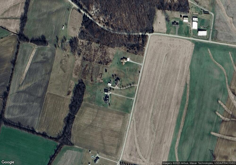
Map
Nearby Homes
- 709 Ragged Ridge Rd Unit 809
- 709 Ragged Ridge Rd
- 2351 Waugh Rd
- 7004 Goodhope Rd
- 4249 Ragged Ridge Rd
- 813 Climer Ln
- 3475 Austin Good Hope Rd
- 2025 Little Creek Rd
- 130 W Springfield St
- 139 W Springfield St
- 107 W Springfield St
- 64 Springfield St
- 235 Lagerham Ln
- 68 Starr Ave
- 40 N 2nd St
- 115 N 2nd St
- 43 N Main St
- 290 N 2nd St
- 219 Beechwood St
- 6447 Scioto Farms Rd Unit SE
- 2027 Fout Rd
- 2111 Fout Rd
- 1861 Fout Rd
- 1858 Fout Rd
- 1784 Fout Rd
- 2013 Ragged Ridge Rd
- 1215 Ragged Ridge Rd
- 1091 Ragged Ridge Rd
- 2009 Ragged Ridge Rd
- 2047 Ragged Ridge Rd
- 2009 Ragged Ridge Rd
- 2121 Ragged Ridge Rd
- 2127 Ragged Ridge Rd
- 1001 Ragged Ridge Rd
- 1125 Ragged Ridge Rd
- 2197 Ragged Ridge Rd
- 821 Ragged Ridge Rd
- 2411 Ragged Ridge Rd
- 885 Ragged Ridge Rd
- 2433 Ragged Ridge Rd