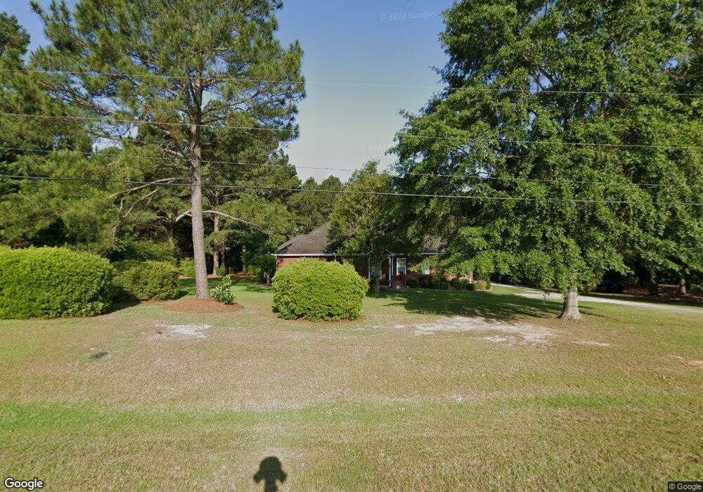
2057 Hightower Rd Statesboro, GA 30458
Estimated Value: $307,914 - $358,000
4
Beds
2
Baths
2,058
Sq Ft
$165/Sq Ft
Est. Value
About This Home
This home is located at 2057 Hightower Rd, Statesboro, GA 30458 and is currently estimated at $339,479, approximately $164 per square foot. 2057 Hightower Rd is a home located in Bulloch County with nearby schools including Langston Chapel Elementary School, Statesboro High School, and Langston Chapel Middle School.
Ownership History
Date
Name
Owned For
Owner Type
Purchase Details
Closed on
Jun 15, 2016
Sold by
Patray Stuart H
Bought by
Bourke Thomas P and Bourke Marianne Elfriede
Current Estimated Value
Home Financials for this Owner
Home Financials are based on the most recent Mortgage that was taken out on this home.
Original Mortgage
$180,000
Outstanding Balance
$143,307
Interest Rate
3.58%
Mortgage Type
VA
Estimated Equity
$196,172
Purchase Details
Closed on
Mar 1, 2003
Bought by
Patray Stuart H
Create a Home Valuation Report for This Property
The Home Valuation Report is an in-depth analysis detailing your home's value as well as a comparison with similar homes in the area
Home Values in the Area
Average Home Value in this Area
Purchase History
| Date | Buyer | Sale Price | Title Company |
|---|---|---|---|
| Bourke Thomas P | $180,000 | -- | |
| Patray Stuart H | -- | -- |
Source: Public Records
Mortgage History
| Date | Status | Borrower | Loan Amount |
|---|---|---|---|
| Open | Bourke Thomas P | $180,000 |
Source: Public Records
Tax History Compared to Growth
Tax History
| Year | Tax Paid | Tax Assessment Tax Assessment Total Assessment is a certain percentage of the fair market value that is determined by local assessors to be the total taxable value of land and additions on the property. | Land | Improvement |
|---|---|---|---|---|
| 2024 | $2,100 | $101,720 | $16,000 | $85,720 |
| 2023 | $2,338 | $103,440 | $12,000 | $91,440 |
| 2022 | $1,782 | $87,754 | $8,800 | $78,954 |
| 2021 | $1,486 | $72,564 | $8,800 | $63,764 |
| 2020 | $1,428 | $69,689 | $8,800 | $60,889 |
| 2019 | $1,476 | $71,486 | $10,480 | $61,006 |
| 2018 | $1,474 | $68,933 | $10,480 | $58,453 |
| 2017 | $1,339 | $67,224 | $10,480 | $56,744 |
| 2016 | $1,562 | $66,006 | $10,480 | $55,526 |
| 2015 | $1,468 | $61,913 | $10,480 | $51,433 |
| 2014 | $1,357 | $61,913 | $10,480 | $51,433 |
Source: Public Records
Map
Nearby Homes
- 1300 Kermit Dr
- 1317 Kermit Dr
- 525 Saint Andrews Cir
- 112 Enclave Ct
- 126 Enclave Ct
- 1503 Cayla Way
- 1501 Cayla Way
- 149 Griffith Ln
- 355 Glazebrook Ave
- 1713 Muirfield Dr
- 101 Old Barn Rd
- 315 Shallow Well Ct
- 610 Waverly Ln
- 412 Mayberry Way
- 220 Bruiser Cir
- 369 Glazebrook Ave
- 367 Glazebrook Ave
- 365 Glazebrook Ave
- 357 Glazebrook Ave
- 304 Hanna Way
- 1415 Jordan Dr
- LOT 135 Hightower Rd
- 1413 Jordan Dr
- 1411 Jordan Dr
- 2051 Hightower Rd
- 1422 Jordan Dr Unit 101
- 1409 Jordan Dr
- 2065 Hightower Rd
- 1302 Kermit Dr
- 1418 Jordan Dr
- 1407 Jordan Dr
- 1420 Jordan Dr
- 1416 Jordan Dr
- E Jordan Dr
- 1414 Jordan Dr
- 1402 Jordan Dr Unit 90
- 1412 Jordan Dr
- 2020 Hightower Rd
- 2047 Hightower Rd
- 1410 Jordan Dr