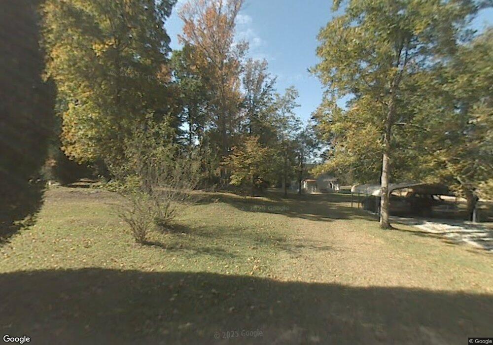
2057 Laboon Ct Leesville, SC 29070
Estimated Value: $288,172 - $621,000
3
Beds
1
Bath
984
Sq Ft
$412/Sq Ft
Est. Value
About This Home
This home is located at 2057 Laboon Ct, Leesville, SC 29070 and is currently estimated at $405,057, approximately $411 per square foot. 2057 Laboon Ct is a home located in Lexington County with nearby schools including Centerville Elementary School, Gilbert Middle School, and Gilbert High School.
Ownership History
Date
Name
Owned For
Owner Type
Purchase Details
Closed on
Apr 27, 2020
Sold by
Gaskins Shannon L
Bought by
Gaskins Shannon L and Gaskins Michael Sean
Current Estimated Value
Purchase Details
Closed on
Nov 18, 2019
Sold by
Laboone Robert E and Laboone Rebecca P
Bought by
Gaskins Shannon L
Purchase Details
Closed on
Jul 19, 2011
Sold by
Laboone Rebecca P
Bought by
Laboone Robert E and Laboone Rebecca P
Create a Home Valuation Report for This Property
The Home Valuation Report is an in-depth analysis detailing your home's value as well as a comparison with similar homes in the area
Home Values in the Area
Average Home Value in this Area
Purchase History
| Date | Buyer | Sale Price | Title Company |
|---|---|---|---|
| Gaskins Shannon L | -- | None Available | |
| Gaskins Shannon L | -- | None Available | |
| Laboone Robert E | -- | -- |
Source: Public Records
Tax History
| Year | Tax Paid | Tax Assessment Tax Assessment Total Assessment is a certain percentage of the fair market value that is determined by local assessors to be the total taxable value of land and additions on the property. | Land | Improvement |
|---|---|---|---|---|
| 2024 | -- | $2,738 | $302 | $2,436 |
| 2023 | $19 | $2,738 | $302 | $2,436 |
| 2022 | $36 | $2,738 | $302 | $2,436 |
| 2020 | $36 | $2,738 | $302 | $2,436 |
| 2019 | $59 | $2,856 | $311 | $2,545 |
| 2018 | $60 | $2,856 | $311 | $2,545 |
| 2017 | $34 | $2,841 | $296 | $2,545 |
| 2016 | $43 | $2,838 | $296 | $2,542 |
| 2014 | $67 | $3,059 | $296 | $2,763 |
| 2013 | -- | $3,060 | $300 | $2,760 |
Source: Public Records
Map
Nearby Homes
- 1100 Lewie Rd
- TBD Old Field Rd Unit 9
- TBD Old Field Rd Unit 6
- TBD Old Field Rd Unit 1
- TBD Old Field Rd Unit 7
- TBD Old Field Rd Unit 8
- 5346 Augusta Hwy
- 250 Dixieland Trail
- 528 Hallman Wagon Rd
- 127 Deer Ridge Trail
- 1153 W Hampton Rd
- 212 Harebell Ln
- 0 Priceville Rd Unit 603866
- 146 Switch Grass Dr
- 517 Hickory Cir
- 2065 Laboon Ct
- 2022 Laboon Ct
- 2037 Laboon Ct
- 2025 Laboon Ct
- 2020 Laboon Ct
- 2070 Laboon Ct
- 2006 Ray Price Rd
- 1952 Ray Price Rd
- 1942 Ray Price Rd
- 1934 Ray Price Rd
- 1718 Ray Price Rd
- 1633 Paul Hite Rd
- 1641 Paul Hite Rd
- 2104 Ray Price Rd
- 1925 Ray Price Rd
- 1640 Paul Hite Rd
- 2120 Ray Price Rd
- 1975 Cedar Grove Rd
- 1912 Ray Price Rd
- 0 Etheridge Rd
