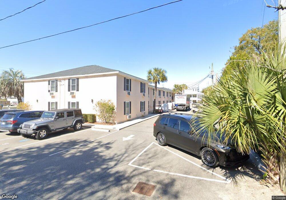
2057 Middle St Unit 15 Sullivans Island, SC 29482
Sullivan's Island NeighborhoodEstimated Value: $556,927 - $824,000
1
Bed
1
Bath
486
Sq Ft
$1,328/Sq Ft
Est. Value
About This Home
This home is located at 2057 Middle St Unit 15, Sullivans Island, SC 29482 and is currently estimated at $645,482, approximately $1,328 per square foot. 2057 Middle St Unit 15 is a home located in Charleston County with nearby schools including Sullivans Island Elementary School, Moultrie Middle School, and Wando High School.
Ownership History
Date
Name
Owned For
Owner Type
Purchase Details
Closed on
Jan 23, 2013
Sold by
Miller Kim C and Miller Kim Caudill
Bought by
Miller Kim C
Current Estimated Value
Purchase Details
Closed on
Feb 3, 2003
Sold by
Roberts Lawrence A
Bought by
Roberts Kim C
Purchase Details
Closed on
Jun 18, 2001
Sold by
Mayner Clayton Perry and Mayner Thomas Cortez
Bought by
Roberts Lawrence A and Roberts Kim C
Purchase Details
Closed on
Mar 15, 2000
Sold by
Mayner Thomas Cortez and Mayner Thomas C
Bought by
Mayner Clayton Perry
Purchase Details
Closed on
Jan 24, 2000
Sold by
Del Schutte H
Bought by
Mayner Thomas Cortez
Create a Home Valuation Report for This Property
The Home Valuation Report is an in-depth analysis detailing your home's value as well as a comparison with similar homes in the area
Home Values in the Area
Average Home Value in this Area
Purchase History
| Date | Buyer | Sale Price | Title Company |
|---|---|---|---|
| Miller Kim C | -- | -- | |
| Roberts Kim C | -- | -- | |
| Roberts Lawrence A | $135,000 | -- | |
| Mayner Clayton Perry | -- | -- | |
| Mayner Thomas Cortez | $128,300 | -- |
Source: Public Records
Tax History Compared to Growth
Tax History
| Year | Tax Paid | Tax Assessment Tax Assessment Total Assessment is a certain percentage of the fair market value that is determined by local assessors to be the total taxable value of land and additions on the property. | Land | Improvement |
|---|---|---|---|---|
| 2024 | $4,993 | $16,220 | $0 | $0 |
| 2023 | $4,540 | $16,220 | $0 | $0 |
| 2022 | $4,249 | $16,220 | $0 | $0 |
| 2021 | $4,183 | $16,220 | $0 | $0 |
| 2020 | $4,123 | $16,220 | $0 | $0 |
| 2019 | $3,669 | $14,100 | $0 | $0 |
| 2017 | $3,373 | $14,100 | $0 | $0 |
| 2016 | $3,255 | $14,100 | $0 | $0 |
| 2015 | $3,065 | $14,100 | $0 | $0 |
| 2014 | $2,604 | $0 | $0 | $0 |
| 2011 | -- | $0 | $0 | $0 |
Source: Public Records
Map
Nearby Homes
- 2002 Ion Ave
- 409 Station 22 1 2 St
- 2307 Ion Ave
- 1773 Atlantic Ave
- 189 Station 18 St
- 1749 Middle St
- 1750 Ion Ave
- 2424 Middle St
- 2414 Goldbug Ave
- 1714 Middle St
- 1727 Atlantic Ave
- 2524 Middle St
- 1651 Atlantic Ave
- 2630 Bayonne Ave
- 0 Middle St
- 2629 Goldbug Ave
- 1666 Marsh Harbor Ln Unit 101
- 1647 Marsh Harbor Ln
- 1608 Marsh Harbor Ln Unit C
- 2808 Brooks St
- 2057 Middle St Unit 20
- 2057 Middle St Unit 19
- 2057 Middle St Unit 18
- 2057 Middle St Unit 17
- 2057 Middle St Unit 16
- 2057 Middle St Unit 14
- 2057 Middle St Unit 13
- 2057 Middle St Unit 12
- 2057 Middle St Unit 11
- 2057 Middle St Unit 10
- 2057 Middle St Unit 9
- 2057 Middle St Unit 8
- 2057 Middle St Unit 7
- 2057 Middle St Unit 6
- 2057 Middle St Unit 5
- 2057 Middle St Unit 4
- 2057 Middle St Unit 3
- 2057 Middle St Unit 2
- 2057 Middle St Unit 1
- 2057 Middle St