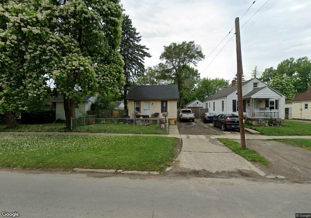
2057 N Averill Ave Flint, MI 48506
Potter Longway NeighborhoodEstimated Value: $32,000 - $47,000
1
Bed
1
Bath
512
Sq Ft
$77/Sq Ft
Est. Value
About This Home
This home is located at 2057 N Averill Ave, Flint, MI 48506 and is currently estimated at $39,264, approximately $76 per square foot. 2057 N Averill Ave is a home located in Genesee County with nearby schools including Potter School, Richfield Public School Academy, and Flex High Burton.
Ownership History
Date
Name
Owned For
Owner Type
Purchase Details
Closed on
Sep 8, 2025
Sold by
Jordon Matt
Bought by
Nehls Skyann
Current Estimated Value
Purchase Details
Closed on
Aug 3, 2020
Sold by
Simpkins Dennis P and Simpkins Tracey M
Bought by
Jordan Matthew
Purchase Details
Closed on
Jul 27, 2007
Sold by
Simpkins Dennis P and Simpkins Tracey M
Bought by
Jordan Matthew
Purchase Details
Closed on
Feb 15, 2002
Sold by
Brumley Ronald J and Brumley Sonia L
Bought by
Simpkins Dennis P and Simpkins Tracey M
Create a Home Valuation Report for This Property
The Home Valuation Report is an in-depth analysis detailing your home's value as well as a comparison with similar homes in the area
Home Values in the Area
Average Home Value in this Area
Purchase History
| Date | Buyer | Sale Price | Title Company |
|---|---|---|---|
| Nehls Skyann | $15,900 | None Listed On Document | |
| Jordan Matthew | $17,900 | None Available | |
| Jordan Matthew | -- | Guaranty Title Company | |
| Simpkins Dennis P | $23,000 | Guaranty Title Company |
Source: Public Records
Tax History Compared to Growth
Tax History
| Year | Tax Paid | Tax Assessment Tax Assessment Total Assessment is a certain percentage of the fair market value that is determined by local assessors to be the total taxable value of land and additions on the property. | Land | Improvement |
|---|---|---|---|---|
| 2024 | $494 | $11,900 | $0 | $0 |
| 2023 | $495 | $9,300 | $0 | $0 |
| 2022 | $0 | $7,400 | $0 | $0 |
| 2021 | $503 | $6,900 | $0 | $0 |
| 2020 | $470 | $5,900 | $0 | $0 |
| 2019 | $469 | $4,200 | $0 | $0 |
| 2018 | $448 | $4,400 | $0 | $0 |
| 2017 | $518 | $0 | $0 | $0 |
| 2016 | $516 | $0 | $0 | $0 |
| 2015 | -- | $0 | $0 | $0 |
| 2014 | -- | $0 | $0 | $0 |
| 2012 | -- | $7,800 | $0 | $0 |
Source: Public Records
Map
Nearby Homes
- 3232 Dale Ave
- 3315 Bennett Ave
- 2116 Branch Rd
- 3514 Whittier Ave
- 3402 Marmion Ave
- 3617 Davison Rd
- 3116 Beechwood Ave
- 3401 Brewster St
- 3421 Brewster St
- 3738 Holly Ave
- 3745 Holly Ave
- 3739 Marmion Ave
- 2719 Branch Rd
- 3709 Delaware Ave
- 3602 Dakota Ave
- 3712 Maryland Ave
- 3413 Dakota Ave
- 3826 Woodrow Ave
- 3219 Leith St
- 3805 Delaware Ave
- 2061 N Averill Ave
- 2051 N Averill Ave
- 2065 N Averill Ave
- 3236 Holly Ave
- 3229 Dale Ave
- 3232 Holly Ave
- 2015 N Averill Ave
- 2047 N Averill Ave
- 3228 Holly Ave
- 2058 N Averill Ave
- 3225 Dale Ave
- 2052 N Averill Ave
- 3236 Dale Ave
- 2062 N Averill Ave
- 3239 Holly Ave
- 2011 N Averill Ave
- 2066 N Averill Ave
- 3228 Dale Ave
- 3229 Holly Ave
- 3311 Dale Ave