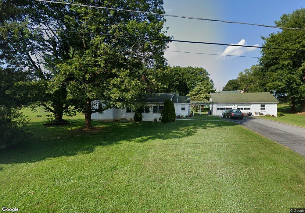
2057 Stumpstown Rd Mechanicsburg, PA 17055
Upper Allen Township NeighborhoodEstimated Value: $333,000 - $426,000
3
Beds
2
Baths
1,796
Sq Ft
$215/Sq Ft
Est. Value
About This Home
This home is located at 2057 Stumpstown Rd, Mechanicsburg, PA 17055 and is currently estimated at $386,969, approximately $215 per square foot. 2057 Stumpstown Rd is a home located in Cumberland County with nearby schools including Elmwood Academy, Mechanicsburg Middle School, and Mechanicsburg Area Senior High School.
Ownership History
Date
Name
Owned For
Owner Type
Purchase Details
Closed on
Jul 15, 2011
Sold by
Martin Robert C
Bought by
Concannon Patrick S
Current Estimated Value
Home Financials for this Owner
Home Financials are based on the most recent Mortgage that was taken out on this home.
Original Mortgage
$144,400
Outstanding Balance
$99,249
Interest Rate
4.49%
Mortgage Type
New Conventional
Estimated Equity
$287,720
Purchase Details
Closed on
Jul 21, 2005
Sold by
Martin Thomas
Bought by
Martin Robert C
Home Financials for this Owner
Home Financials are based on the most recent Mortgage that was taken out on this home.
Original Mortgage
$114,620
Interest Rate
5.63%
Mortgage Type
New Conventional
Create a Home Valuation Report for This Property
The Home Valuation Report is an in-depth analysis detailing your home's value as well as a comparison with similar homes in the area
Home Values in the Area
Average Home Value in this Area
Purchase History
| Date | Buyer | Sale Price | Title Company |
|---|---|---|---|
| Concannon Patrick S | $199,000 | -- | |
| Martin Robert C | $140,000 | -- |
Source: Public Records
Mortgage History
| Date | Status | Borrower | Loan Amount |
|---|---|---|---|
| Open | Concannon Patrick S | $144,400 | |
| Previous Owner | Martin Robert C | $114,620 |
Source: Public Records
Tax History Compared to Growth
Tax History
| Year | Tax Paid | Tax Assessment Tax Assessment Total Assessment is a certain percentage of the fair market value that is determined by local assessors to be the total taxable value of land and additions on the property. | Land | Improvement |
|---|---|---|---|---|
| 2025 | $4,958 | $226,000 | $90,100 | $135,900 |
| 2024 | $4,778 | $226,000 | $90,100 | $135,900 |
| 2023 | $4,570 | $226,000 | $90,100 | $135,900 |
| 2022 | $4,447 | $226,000 | $90,100 | $135,900 |
| 2021 | $4,309 | $226,000 | $90,100 | $135,900 |
| 2020 | $4,202 | $226,000 | $90,100 | $135,900 |
| 2019 | $4,097 | $226,000 | $90,100 | $135,900 |
| 2018 | $4,027 | $226,000 | $90,100 | $135,900 |
| 2017 | $3,946 | $226,000 | $90,100 | $135,900 |
| 2016 | -- | $226,000 | $90,100 | $135,900 |
| 2015 | -- | $226,000 | $90,100 | $135,900 |
| 2014 | -- | $226,000 | $90,100 | $135,900 |
Source: Public Records
Map
Nearby Homes
- 421 Fairway Dr
- 889 Hawthorne Ave
- 2504 Rolo Ct Unit MHP
- 4518 Rolo Ct Unit MHP
- 653 Park Ridge Dr
- 580 Meadowcroft Cir
- 108 Slover Rd
- 1435 Williams Grove Rd
- 914 Bonny Ln
- 4540 Rolo Ct Unit MHP
- 1122 Floribunda Ln
- 908 Knepper Dr
- 422 Gettysburg Pike
- 308 Hemlock Rd
- 2717 Laurel St
- 2800 W Rosegarden Blvd
- 253 Brindle Rd
- 6 Jennifer Ln
- 723 Brindle Farm Ln
- Emersyn Plan at Brindle Farms Estates
- 2018 Stumpstown Rd
- 2091 Stumpstown Rd
- 2183 Merrimac Ave
- 2181 Merrimac Ave
- 383 Stumpstown Rd
- 375 Stumpstown Rd
- LOT #18 Stumpstown Rd
- 17-18 Stumpstown Rd
- 2185 Merrimac Ave
- 2179 Merrimac Ave
- 2177 Merrimac Ave
- 2184 Merrimac Ave
- 2188 Merrimac Ave
- 2182 Merrimac Ave
- 2180 Merrimac Ave
- 2190 Merrimac Ave
- 2175 Merrimac Ave
- 2178 Merrimac Ave
- 9 Norfolk Ct
- 363 Stumpstown Rd